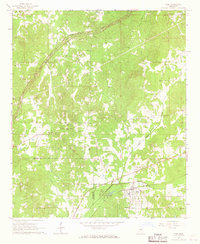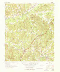
1968 Map of Weir
USGS Topo · Published 1968About this map
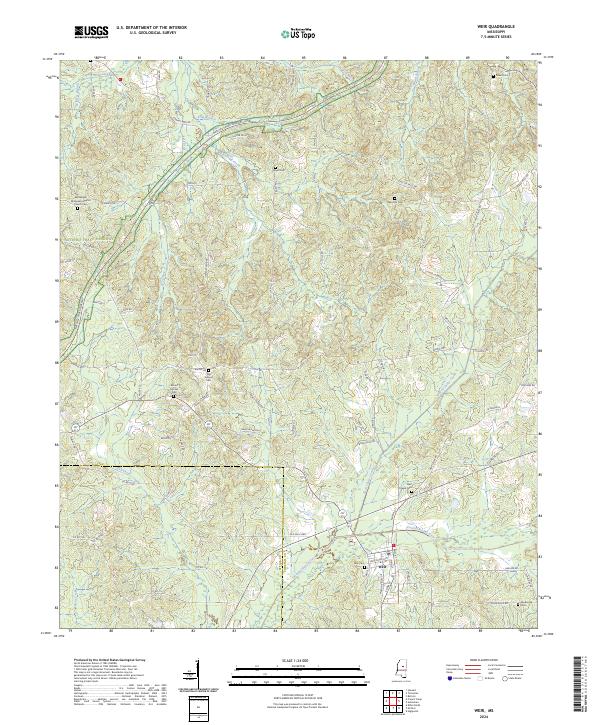
The Big Black River Canal and the Columbus and Greenville RR dominate the northern landscape of this Mississippi region, where the borders of Webster, Montgomery, and Choctaw counties converge. The settlement pattern in the late 1960s is characterized by small, dispersed communities centered around rural institutions like McCurtain Creek Ch and Epworth Ch. In the southern portion of the quadrangle, the town of Weir serves as a local hub along the Illinois Central RR, while the historic French Camp provides a notable landmark further west.
Find a feature on this map
106 named features on this map. Tap any name to fly to it.
Don’t see what you’re looking for? This feature index may not catch every label — zoom into the map to look around manually.
Map Details
Editions of this 1968 Weir Map
This is the sole edition of this map. No revisions or reprints were ever made.
Historical Maps of Weir Through Time
7 maps found