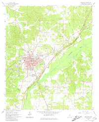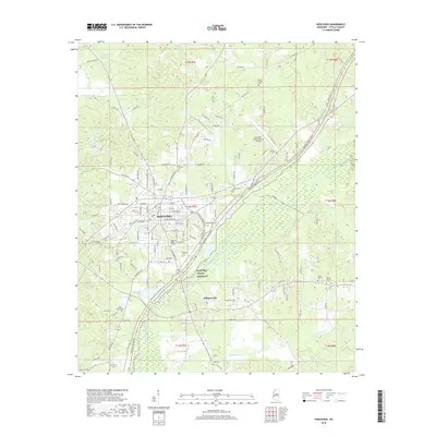
1966 Map of Kosciusko
USGS Topo · Published 1967About this map
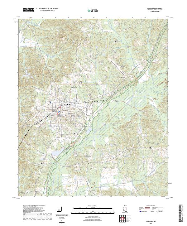
The city of Kosciusko serves as the focal point of this mid-1960s survey, where the Illinois Central Railroad and several state routes converge. The landscape is defined by the broad drainage of the Yockanookany River and the Black River, creating a network of winding waterways like Zilpha Creek and Apookta Creek. This era shows a well-established rural infrastructure of family-named landmarks and community centers, including Carmack Sch and the County Home near the city center.
Find a feature on this map
100 named features on this map. Tap any name to fly to it.
Don’t see what you’re looking for? This feature index may not catch every label — zoom into the map to look around manually.
Map Details
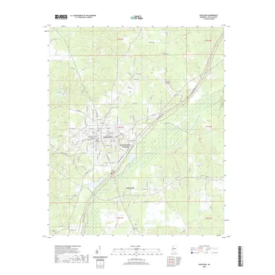
Editions of this 1966 Kosciusko Map
This is the sole edition of this map. No revisions or reprints were ever made.
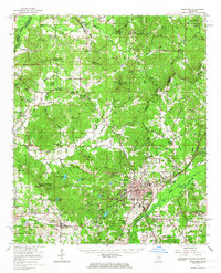
Historical Maps of Kosciusko Through Time
8 maps found