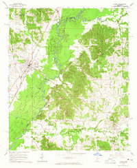
1964 Map of West
USGS Topo · Published 1965About this map
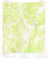
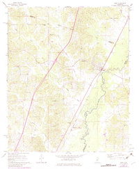
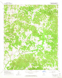
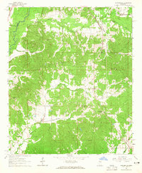
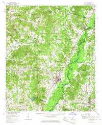
The Big Black River meanders through the landscape of the West quadrangle, defining the boundary between Holmes and Attala Counties. This mid-century survey captures the community of West at a time when the Illinois Central railroad remained a primary artery for the region's movement. Further south, the small settlement of Hoffman sits along the rail line, surrounded by a dense network of country churches and family cemeteries that reflect the deep-rooted local history of the area.
Find a feature on this map
26 named features on this map. Tap any name to fly to it.
Don’t see what you’re looking for? This feature index may not catch every label — zoom into the map to look around manually.
Map Details
Editions of this 1964 West Map
2 editions found
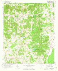
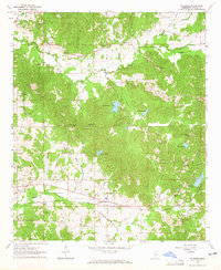
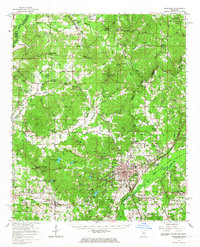
Other maps of this area

1953 · West Point
USGS Topo · 1:250,000

1958 · West Point
USGS Topo · 1:250,000

1963 · West Point
USGS Topo · 1:250,000
1964 · Bowling Green
USGS Topo · 1:24,000
1964 · Hesterville
USGS Topo · 1:24,000
1964 · Durant
USGS Topo · 1:24,000
1964 · Owens Wells
USGS Topo · 1:24,000
1964 · McAdams
USGS Topo · 1:24,000
1966 · Kosciusko
USGS Topo · 1:62,500
1966 · Durant
USGS Topo · 1:62,500