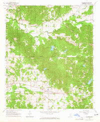
1964 Map of McAdams
USGS Topo · Published 1965About this map
McAdams serves as a central point in this mid-1960s landscape, situated along the line of the Illinois Central railroad. The area is characterized by a dense network of small rural institutions and watercourses, with numerous country churches such as New Bethel Ch and Springdale Ch anchoring the local community. The terrain rises toward Pleasant Ridge, while the drainage is dominated by the winding paths of Apookta Creek and Long Creek.
Find a feature on this map
35 named features on this map. Tap any name to fly to it.
Don’t see what you’re looking for? This feature index may not catch every label — zoom into the map to look around manually.
Map Details
Editions of this 1964 McAdams Map
This is the sole edition of this map. No revisions or reprints were ever made.
Other maps of this area

1953 · Meridian
USGS Topo · 1:250,000

1953 · West Point
USGS Topo · 1:250,000

1957 · Meridian
USGS Topo · 1:250,000

1958 · West Point
USGS Topo · 1:250,000

1962 · Thomastown
USGS Topo · 1:62,500

1963 · West Point
USGS Topo · 1:250,000

1964 · West
USGS Topo · 1:24,000

1964 · Kosciusko NE
USGS Topo · 1:24,000

1964 · Hesterville
USGS Topo · 1:24,000

1964 · Newport
USGS Topo · 1:24,000