
1964 Map of Hesterville
USGS Topo · Published 1965About this map
The Carroll Co Attala Co line divides this mid-century landscape where the Illinois Central railroad follows the western edge through the Big River bottoms. The interior terrain is defined by a dense network of family and community landmarks, centered on the settlement of Hesterville and the southern hamlet of Possumneck. Genealogical value is high throughout the quadrangle, with numerous rural burial grounds such as Smyrna Cem, Thornton Cem, and Sweet Pilgrim Ch Cem anchoring the various creek valleys. The drainage patterns of Sharkey Creek and Zilpha Creek dictate the placement of early infrastructure, including Carmack Sch and several country churches like North Union Ch. A local Claypit and a prominent Water Tank near the southern tracks highlight the small-scale industrial and utility footprint of the era.
Find a feature on this map
32 named features on this map. Tap any name to fly to it.
Don’t see what you’re looking for? This feature index may not catch every label — zoom into the map to look around manually.
Map Details
Editions of this 1964 Hesterville Map
This is the sole edition of this map. No revisions or reprints were ever made.
Other maps of this area

1953 · West Point
USGS Topo · 1:250,000

1958 · West Point
USGS Topo · 1:250,000

1963 · West Point
USGS Topo · 1:250,000

1964 · West
USGS Topo · 1:24,000

1964 · Kosciusko NE
USGS Topo · 1:24,000
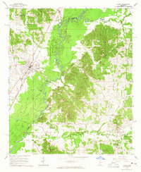
1964 · Durant
USGS Topo · 1:24,000

1964 · Kosciusko
USGS Topo · 1:24,000
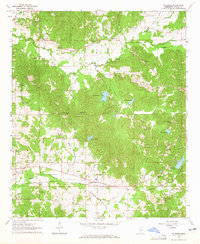
1964 · McAdams
USGS Topo · 1:24,000

1966 · Poplar Creek
USGS Topo · 1:24,000

1966 · Kosciusko
USGS Topo · 1:62,500