
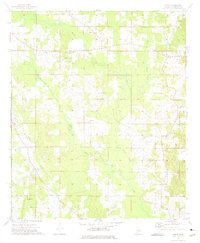
1972 Map of Louisville North
USGS Topo · Published 1973About this map
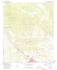
The Tombigbee National Forest dominates the upper half of this Winston County landscape, where the headwaters of the Noxubee River and Little Noxubee River wind through heavily wooded hills. The northern reaches are dotted with small rural landmarks like the Noxubee Hill Cem and the settlement of Gum Springs, while the southern portion of the map transitions into the expanding infrastructure of Louisville.
Find a feature on this map
33 named features on this map. Tap any name to fly to it.
Don’t see what you’re looking for? This feature index may not catch every label — zoom into the map to look around manually.
Map Details
Editions of this 1972 Louisville North Map
2 editions found
Other maps of this area

1953 · West Point
USGS Topo · 1:250,000

1958 · West Point
USGS Topo · 1:250,000

1963 · West Point
USGS Topo · 1:250,000

1965 · Bradley
USGS Topo · 1:24,000

1972 · Highpoint
USGS Topo · 1:24,000
1972 · Louisville South
USGS Topo · 1:24,000
1972 · Louisville SW
USGS Topo · 1:24,000

1972 · Sturgis
USGS Topo · 1:24,000
1972 · Ackerman
USGS Topo · 1:24,000
1973 · Boon
USGS Topo · 1:24,000