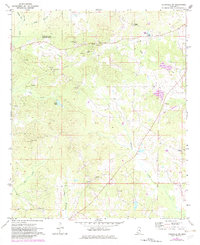
1972 Map of Louisville SW
USGS Topo · Published 1982About this map
Lobutcha Creek and its many tributaries, including Wildcat Cr and Reedy Creek, dominate the landscape of Winston County at the beginning of the 1970s. The map reveals a deeply established rural social fabric anchored by numerous country churches such as Pleasant Hill Ch, Welcome Chapel, and Whitehall Ch, many of which are accompanied by family cemeteries like Steep Cem and Boswell Cem.
Find a feature on this map
30 named features on this map. Tap any name to fly to it.
Don’t see what you’re looking for? This feature index may not catch every label — zoom into the map to look around manually.
Map Details
Editions of this 1972 Louisville SW Map
2 editions found
Other maps of this area

1953 · Meridian
USGS Topo · 1:250,000

1953 · West Point
USGS Topo · 1:250,000

1957 · Meridian
USGS Topo · 1:250,000

1958 · West Point
USGS Topo · 1:250,000

1962 · Edinburg
USGS Topo · 1:62,500

1963 · West Point
USGS Topo · 1:250,000

1965 · Meridian
USGS Topo · 1:250,000

1972 · Louisville North
USGS Topo · 1:24,000

1972 · McCool
USGS Topo · 1:24,000

1972 · Highpoint
USGS Topo · 1:24,000