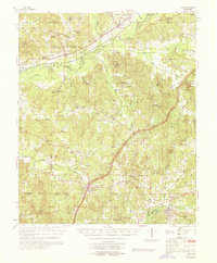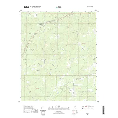
1966 Map of Weir
USGS Topo · Published 1967About this map
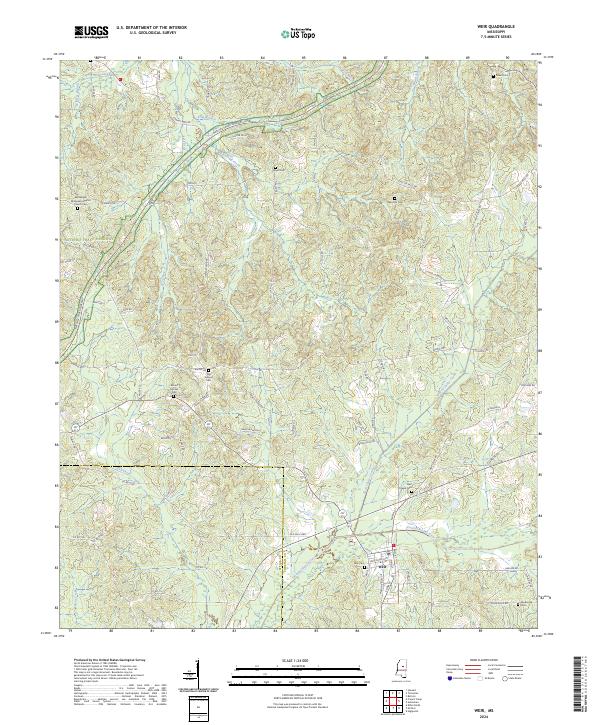
The town of Weir serves as a primary hub for this mid-1960s Mississippi landscape, positioned along the Illinois Central railroad and the Yockanookany River. The area is characterized by a dense network of rural community landmarks, particularly country churches such as Bethlehem Ch, Pisgah Ch, and Panchar Hill Ch, which reflect the social geography of Choctaw and Attala Counties. The Natchez Trace Parkway cuts through the northern section, winding past a Roadside Park and over McCurtain Creek. Significant industrial and resource-extraction sites are visible in the numerous sandpits scattered across the terrain. Elevations and forest watchpoints are notable, specifically the Weir Lookout Tower, while smaller watercourses like Besa Chitto Creek and Mike Creek define the local drainage patterns. This survey documents the intersection of modern transportation with established rural settlements and family-named cemeteries such as Penderville Cem.
Find a feature on this map
36 named features on this map. Tap any name to fly to it.
Don’t see what you’re looking for? This feature index may not catch every label — zoom into the map to look around manually.
Map Details
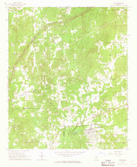
Editions of this 1966 Weir Map
2 editions found
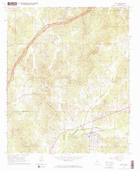
Historical Maps of Weir Through Time
7 maps found