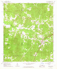
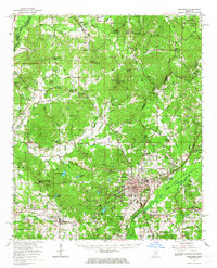
1966 Map of French Camp
USGS Topo · Published 1967About this map
French Camp and the surrounding Choctaw County landscape are defined by the winding path of the Natchez Trace Parkway, which cuts through the region's densely wooded creek basins. This mid-1960s survey reveals a dispersed rural community structured around small crossroads settlements and numerous country churches, such as Huntsville Ch and Pinkey Grove Ch. The presence of several Sandpits indicates local extractive activity, while the intricate network of drainage including Poplar Creek, Wolf Creek, and Zilpha Creek dictates the placement of homesteads and travel routes. Genealogists will find significant value in the mapped family and community burial grounds, including the Branscome Cem, Hemphill Cem, and Bluff Chapel Cem, many of which remain essential landmarks of the local heritage.
Find a feature on this map
29 named features on this map. Tap any name to fly to it.
Don’t see what you’re looking for? This feature index may not catch every label — zoom into the map to look around manually.
Map Details
Editions of this 1966 French Camp Map
This is the sole edition of this map. No revisions or reprints were ever made.
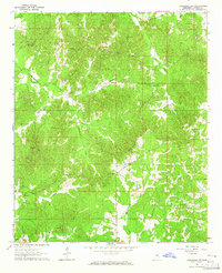
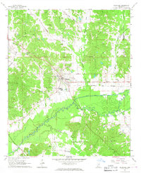
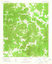
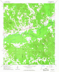
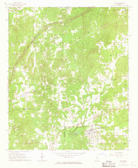
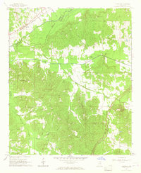
Other maps of this area

1953 · West Point
USGS Topo · 1:250,000

1958 · West Point
USGS Topo · 1:250,000

1963 · West Point
USGS Topo · 1:250,000
1964 · Kosciusko NE
USGS Topo · 1:24,000
1966 · Kilmichael
USGS Topo · 1:24,000
1966 · Poplar Creek
USGS Topo · 1:24,000
1966 · Kosciusko
USGS Topo · 1:62,500
1966 · Stewart
USGS Topo · 1:24,000
1966 · Weir
USGS Topo · 1:24,000
1966 · Tomnolen
USGS Topo · 1:24,000