2020s Maps of Covington County, Mississippi
Explore 28 historic maps of Covington County from the 2020s. These maps offer a rare glimpse into what life looked like during the 2020s — showing old roads, neighborhoods, homes, and landmarks that have changed or disappeared over time.
Whether you're researching your family's past, planning a metal detecting trip, or studying how Covington County's landscape evolved across the 2020s, these high-resolution maps are a powerful tool for exploring the history of this region.
- Focus on a specific era: All maps on this page are from the 2020s, giving you a focused view of this time period.
- See what’s changed: Compare century-old streets, trails, and buildings to today's modern landscape using overlays and satellite layers.
- Research with precision: Use these maps for genealogy, historical research, land use analysis, or educational projects.
- View, download, or print: Maps are fully viewable online in high resolution, and can be downloaded or printed for your own records.
Start exploring Covington County's history through authentic maps from the 2020s. This is your window into the past.
Covington County, MS maps
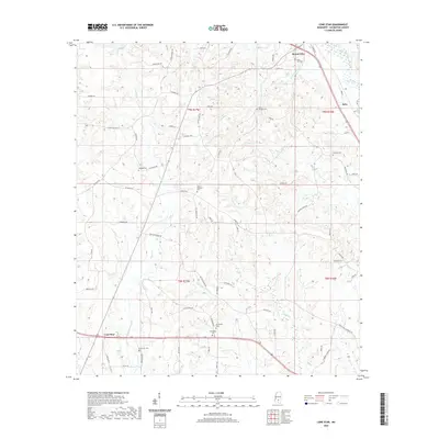
(28)- 2020 Map of Lake Mike Connor, 2020 Print
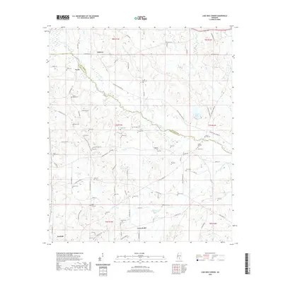 2020 Lake Mike Connor2020 Print · USGSCovers Covington County, including Bassfield, Cantwell Mill, and other nearby areas
 - 2020 Map of Seminary, 2020 Print
 2020 Seminary2020 Print · USGSCovers Covington County, including Seminary, Moscos, and other nearby areas
 - 2020 Map of Hot Coffee, 2020 Print
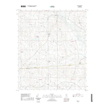
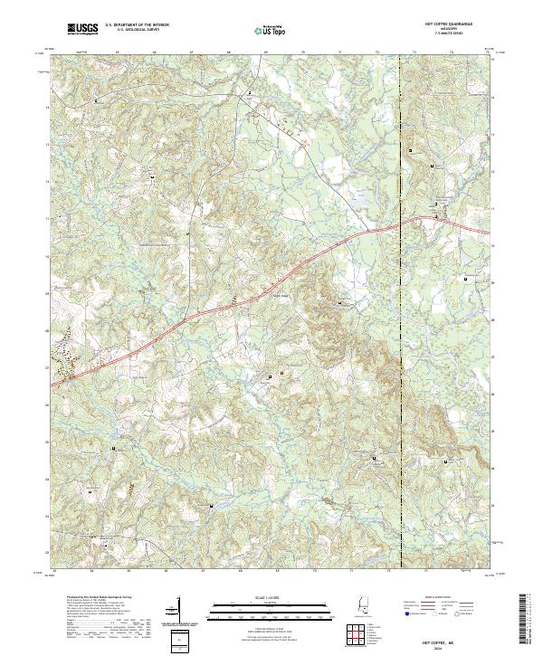
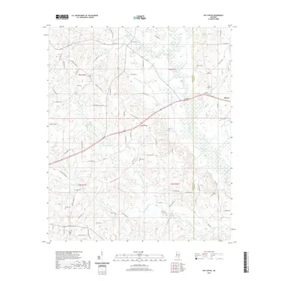 2020 Hot Coffee2020 Print · USGSCovers Covington County, including Shady Oak, Speedtown, and other nearby areas
 - 2020 Map of Prentiss East, 2020 Print
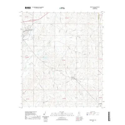 2020 Prentiss East2020 Print · USGSCovers Covington County, including Prentiss, Bassfield, and other nearby areas
 - 2020 Map of Lone Star, 2020 Print
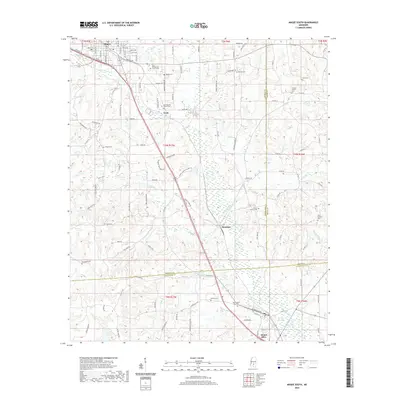
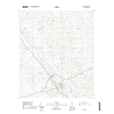
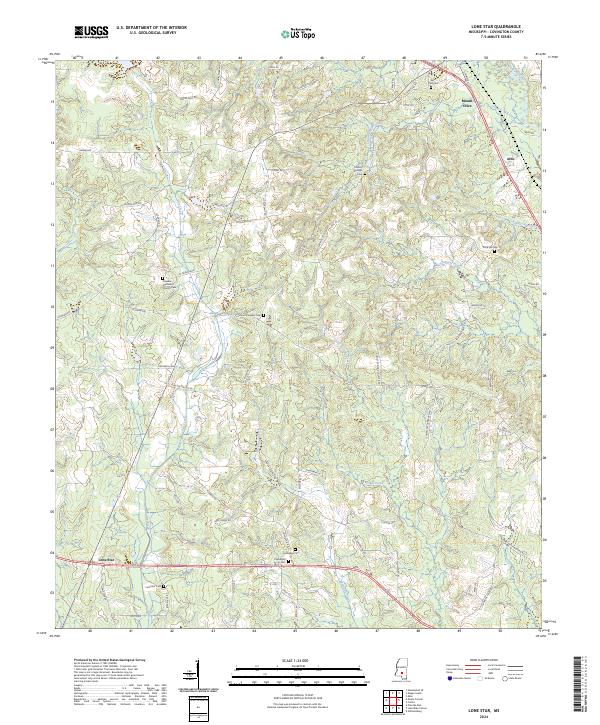
 2020 Lone Star2020 Print · USGSCovers Covington County, including Mount Olive, Lone Star, and other nearby areas
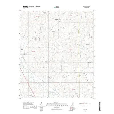
 - 2020 Map of Sumrall, 2020 Print
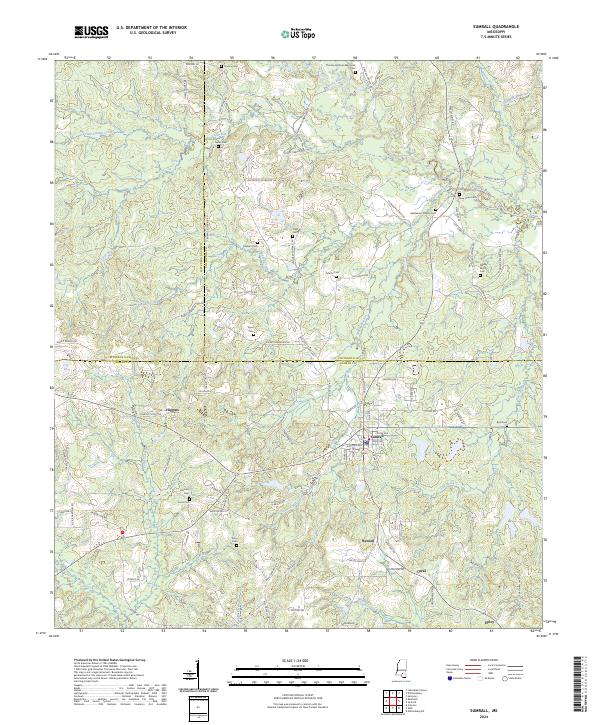
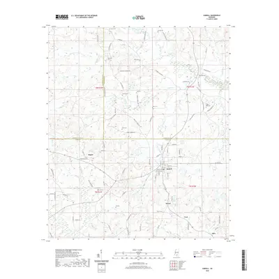 2020 Sumrall2020 Print · USGSCovers Covington County, including Sumrall, Bynum, and other nearby areas
 - 2020 Map of Magee South, 2020 Print
 2020 Magee South2020 Print · USGSCovers Covington County, including Magee, Mount Olive, and other nearby areas
 - 2020 Map of Williamsburg, 2020 Print
 2020 Williamsburg2020 Print · USGSCovers Covington County, including Collins, Seminary, and other nearby areas
 - 2020 Map of Collins, 2020 Print
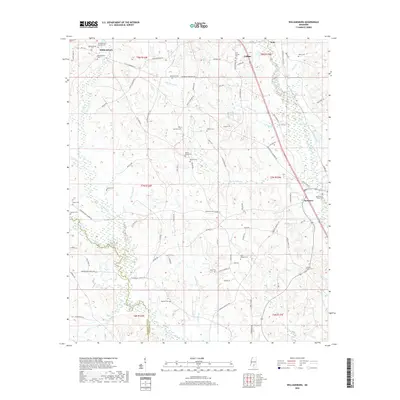
 2020 Collins2020 Print · USGSCovers Covington County, including Collins, Kola, and other nearby areas
 - 2020 Map of Mount Carmel, 2020 Print
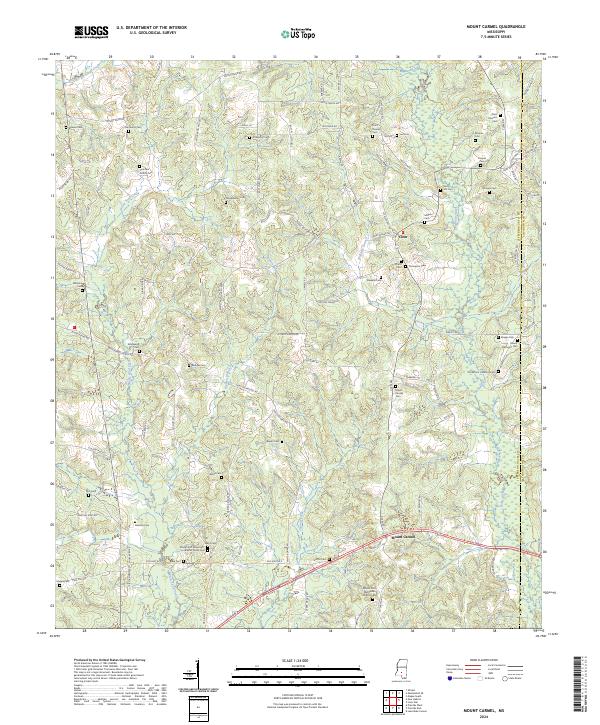
 2020 Mount Carmel2020 Print · USGSCovers Covington County, including Clem, Mount Carmel, and other nearby areas
 - 2020 Map of Mize, 2020 Print
 2020 Mize2020 Print · USGSCovers Covington County, including Mize, Milton, and other nearby areas
 - 2020 Map of Mendenhall SE, 2020 Print
 2020 Mendenhall SE2020 Print · USGSCovers Covington County, including Magee, Cyclone, and other nearby areas
 - 2020 Map of Sanford, 2020 Print
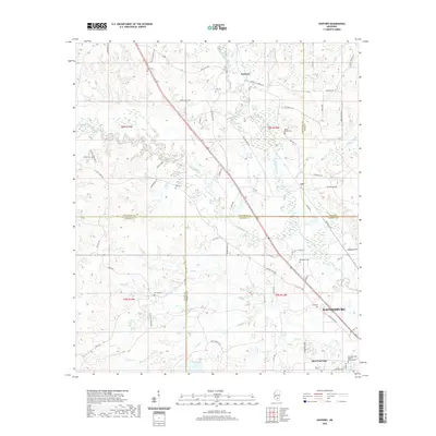 2020 Sanford2020 Print · USGSCovers Covington County, including Hattiesburg, Sanford, and other nearby areas
 - 2020 Map of Taylorsville, 2020 Print
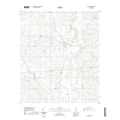 2020 Taylorsville2020 Print · USGSCovers Covington County, including Taylorsville, Wisner, and other nearby areas
 - 2024 Map of Williamsburg, 2024 Print
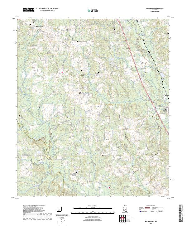 2024 Williamsburg2024 Print · USGSMississippi's rural Covington County landscape is captured here as it appeared recently, centered on the historic crossroads of Williamsburg. Genealogists can trace ancestral sites across a network of family-named landmarks including the Coulter Family Cem, Mount Horeb Cem, and Gandsi.
 - 2024 Map of Mendenhall SE, 2024 Print
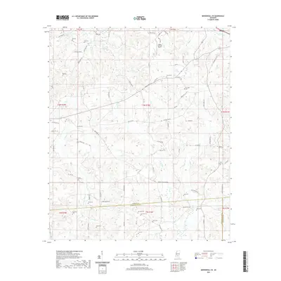
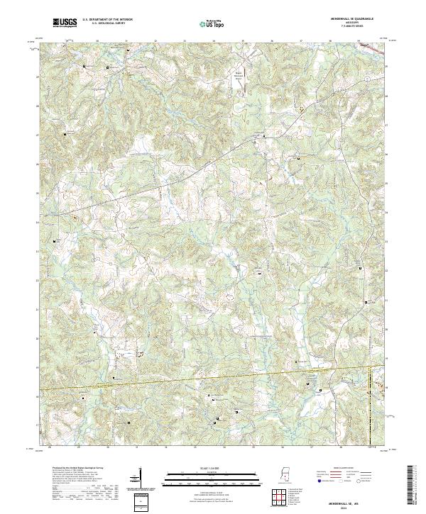 2024 Mendenhall SE2024 Print · USGSSimpson County southeast of Magee is shown in this recent survey, capturing a rural landscape defined by the Leaf River headwaters and family-owned lands. Genealogists can trace burial sites including Hen Magee Cem and Walker Cem or locate the Hopewell Presbyterian Church.
 - 2024 Map of Sumrall, 2024 Print
 2024 Sumrall2024 Print · USGSThe town of Sumrall stands at the intersection of three counties in this recent survey of the Mississippi piney woods. Genealogists can trace family roots through numerous burial sites like Presley Watts Cem, Gates Cem, and Bethlehem Church Cem.
 - 2024 Map of Hot Coffee, 2024 Print
 2024 Hot Coffee2024 Print · USGSCovington and Jones counties are captured here in a period of settled rural life along the Leaf River. Genealogists can trace family heritage through numerous landmarks like the John Jackie Knight Family Cem, Union Cem, and Hatton Cem.
 - 2024 Map of Mount Carmel, 2024 Print
 2024 Mount Carmel2024 Print · USGSJefferson Davis County remains a landscape of quiet rural settlements and family-named landmarks in the early twenty-first century. Genealogists can trace decades of local history through sites like Old Mount Harmony Cem, Mount Zion Methodist Church, and the community at Mount Carmel.
 - 2024 Map of Lone Star, 2024 Print
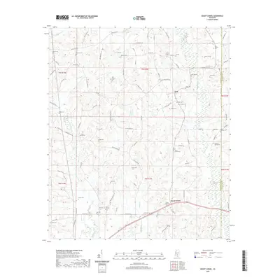
 2024 Lone Star2024 Print · USGSCovington County comes into focus in this recent survey of the rural landscape between Mount Olive and Lone Star. Genealogists and historians can trace numerous family landmarks, from Friendship Cem to the Oakvale Methodist Church Cem along the local creek networks.
 - 2024 Map of Lake Mike Connor, 2024 Print
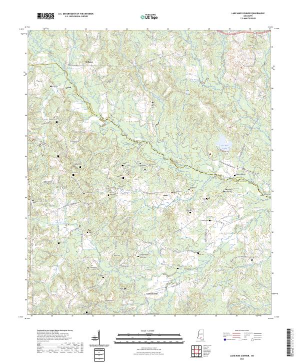 2024 Lake Mike Connor2024 Print · USGSThe Jefferson Davis County countryside comes to life in this recent survey of the region surrounding Lake Mike Connor. Local researchers can trace family landmarks like Cantwell Mill, Progress Missionary Baptist Church Cem, and the settlement of Deen.
 - 2024 Map of Magee South, 2024 Print
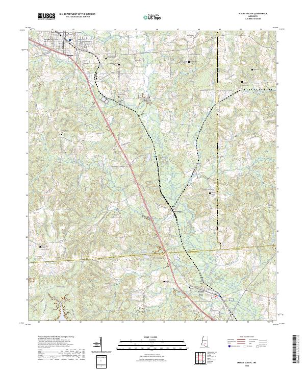 2024 Magee South2024 Print · USGSSimpson and Covington Counties are seen in this modern survey, capturing the rural landscape between Magee and Mount Olive. Researchers can pinpoint numerous family burial sites and rural landmarks like McNair Millpond, Saratoga, and the Coat Baptist Church Cemetery.
 - 2024 Map of Prentiss East, 2024 Print
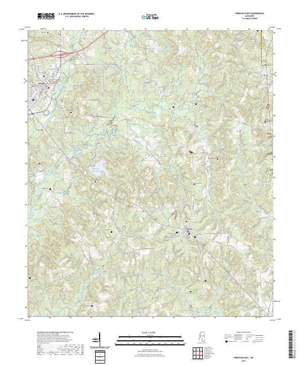 2024 Prentiss East2024 Print · USGSThe rural landscape of Jefferson Davis County is documented here in the early twenty-first century, centered on the county seat of Prentiss. Researchers can trace numerous family burial grounds and local landmarks, from Antioch Cem to the Hollis Day Creek Missionary Baptist Church.
 - 2024 Map of Collins, 2024 Print
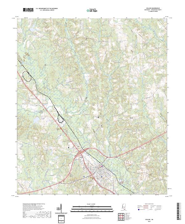 2024 Collins2024 Print · USGSModern Covington County centers on Collins and its civic landmarks. Genealogists and historians can trace family locations along Okatoma Creek and identify local burial sites at Kola Cem, Ora Cem, and Blakely Cem.
 - 2024 Map of Taylorsville, 2024 Print
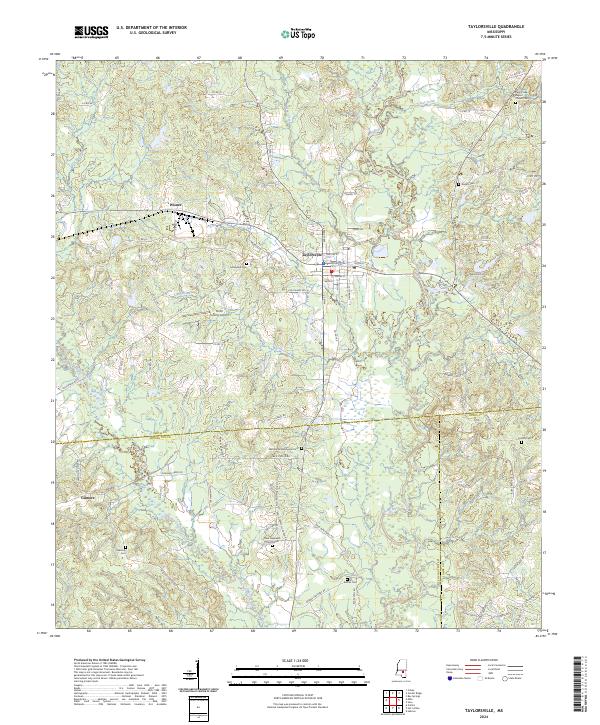 2024 Taylorsville2024 Print · USGSTaylorsville and the surrounding Smith County countryside are mapped here in the modern era, showing a landscape shaped by the Leaf River and rural junctions. Researchers can locate numerous family burial sites like Hinton Cem and community hubs like the Smith County Airport.
Showing maps 1-25 of 28
Top cities of Covington County
Frequently asked questions
- What are the different types of historical maps available for Covington County?
- What is the oldest map of Covington County?
- Where can I purchase historical maps of Covington County for my home or office?
- Where can I download high-res historical maps of Covington County?
- Are there historical topographic maps available for Covington County?
- Is there historical aerial imagery available for Covington County?
- Where are historical maps of Covington County sourced from?