Old Maps of Lake View, Mississippi for Hiking & Exploration
Hike through history with 19 historic maps of Lake View. Explore old trails, ghost towns, and forgotten backroads — perfect for outdoor adventurers and local explorers.
- Rediscover forgotten places: Map out old mining camps, roads, and footpaths that no longer exist on modern maps.
- Layer with modern tools: Combine with LiDAR or satellite views to plan hikes through historical terrain.
- Made for exploration: Popular among hikers, overlanders, and local history lovers.
Use these maps to find adventure and explore the hidden past of Lake View.
Lake View, MS maps
(19)- 1908 Map of Lake Cormorant, 1961 Print
 1908 Lake Cormorant1961 Print · USGSThe Mississippi Delta's shifting landscape is captured here in the early twentieth century, showing a world of river landings and new rail lines. Genealogists and historians can trace the foundations of Lake Cormorant, Glover, and the Morning Star Church.
 - 1912 Map of Lake Cormorant
 1912 Lake Cormorant1912 Print · USGSDeSoto County and the Mississippi-Tennessee border are shown here in the early twentieth century as the rail-and-river economy flourished. Genealogists and local historians can trace the foundations of Lake Cormorant, locate the Morning Star Church, and find river landings like Norfolk Landing.3 unique versions available
 - 1932 Map of Horn Lake
 1932 Horn Lake1932 Print · USGSNorthwest Mississippi and the river border come alive in the 1930s as the rail lines and river landings shaped local life. Genealogists can trace family footprints at Howards Store, Bynums Chapel, and Sunrise Sch and Ch near the banks of Horn Lake.3 unique versions available
 - 1935 Map of Horn Lake
 1935 Horn Lake1935 Print · USGSThe Mississippi Delta and Tennessee borderlands meet here in the mid-1930s, showing a landscape of bluff-top farms and river-bottom bayous. Genealogists can trace family roots through dozens of local landmarks like Morning Star Ch, Eudora, and Sunrise Sch.2 unique versions available
 - 1948 Map of Helena
 1948 Helena1948 Print · USGSEastern Arkansas and the Mississippi Delta are captured here just after the war, showing a landscape defined by its great rivers and rail lines. Genealogists can trace family locations near Bemis Plantation, Helena, and smaller rail stops like Wheatley and Moro.
 - 1950 Map of Helena
 1950 Helena1950 Print · USGSMid-century Phillips County and the surrounding Delta region are shown at a peak of rail and river commerce. Genealogists and historians can trace family locations through numerous rural communities like Old Austin, Cotton Plant, and West Helena, or follow the routes of the Missouri Pacific RR across Grand Prairie.2 unique versions available
 - 1955 Map of Helena, 1967 Print
 1955 Helena1967 Print · USGSThe Arkansas Delta and Mississippi floodplains are captured here in the mid-fifties, during a period of expanding flood control and rail commerce. Researchers can trace the extensive Chicago Rock Island and Pacific RR lines and locate sites like the Arkansas State College Experimental Rice Farm or Friars Point.2 unique versions available
 - 1959 Map of Helena
 1959 Helena1959 Print · USGSThe Arkansas and Mississippi Delta regions are captured here in the late fifties, showing a landscape defined by the Mississippi River and the Grand Prairie. Genealogists and researchers can trace the rail networks of the Illinois Central RR and locate community landmarks like Helena and the White River National Wildlife Refuge.
 - 1960 Map of Helena
 1960 Helena1960 Print · USGSThe Arkansas and Mississippi Delta regions meet along the great river bends during a period of significant agricultural and rail expansion. Genealogists and historians can trace the paths of the Missouri Pacific railroad through Clarendon or locate landings along the Mississippi River and White River.
 - 1961 Map of Horn Lake, 1978 Print
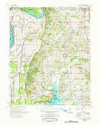 1961 Horn Lake1978 Print · USGSDeSoto County and the Mississippi River bottoms are captured here in the early sixties as rural life centered on the river and rail lines. Genealogists can locate family landmarks like Howard Plantation, Lakeside Cem, and numerous country churches like New Hope Ch.
 - 1982 Map of Lake Cormorant
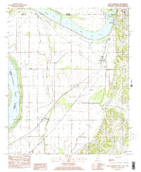 1982 Lake Cormorant1982 Print · USGSThe Mississippi Delta's northern edge meets the Tennessee border in the early eighties, showing a landscape of river-bend lakes and rail-side settlements. Trace the local geography of Lake Cormorant, Walls, and the Twinkle Town Landing Field during this era of regional transition.2 unique versions available
 - 1984 Map of Helena, 1985 Print
 1984 Helena1985 Print · USGSThe Delta landscape of Arkansas and Mississippi comes to life in this mid-eighties survey of river bends and ridge settlements. Researchers can trace the rail-and-river economy through Missouri Pacific lines and local landmarks like Whiskey Island or Marianna.
 - 1990 Map of Helena, 1991 Print
 1990 Helena1991 Print · USGSThe Arkansas and Mississippi delta regions meet here in the 1990s, where the great river's oxbows and islands define the state line. Genealogists and historians can trace the rail networks of the Illinois Central Gulf RR and local settlements like Palestine, Marvell, and La Grange.
 - 2011 Map of Lake Cormorant, 2011 Print
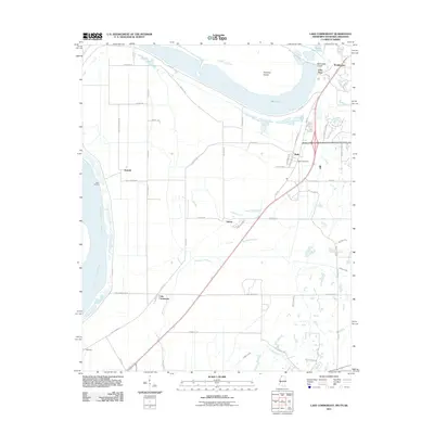 2011 Lake Cormorant2011 Print · USGSThe Mississippi Delta meets suburban expansion in the early 2000s south of Memphis. Researchers can trace historical river landings and local landmarks such as Walls Post Office, the settlement of Lake Cormorant, and the old rail corridor along W Railroad Ave.
 - 2012 Map of Lake Cormorant, 2012 Print
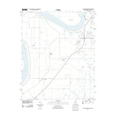 2012 Lake Cormorant2012 Print · USGSThe Mississippi Delta bottomlands in the early 2010s show a landscape of river-bend oxbows and rural settlements. Trace family roots and land use across communities like Lake Cormorant, Walls, and Glover, or follow the hydrology of Mud Lake and the Horn Lake Cutoff.
 - 2015 Map of Lake Cormorant, 2015 Print
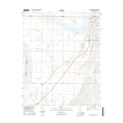 2015 Lake Cormorant2015 Print · USGSThe Mississippi-Tennessee borderlands south of Memphis are documented here just as suburban expansion moved into the Delta. Researchers can trace family roots and land patterns in settlements like Lake Cormorant, Lake View, and Walls near Horn Lake.
 - 2018 Map of Lake Cormorant, 2018 Print
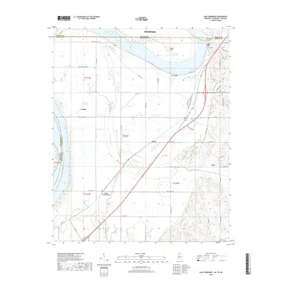 2018 Lake Cormorant2018 Print · USGSThe tri-state border region south of Memphis comes into focus in this late-2010s survey of the river bottomlands. Genealogists and local researchers can trace the development of Walls, Lake Cormorant, and Glover near the Mississippi River.
 - 2020 Map of Lake Cormorant, 2020 Print
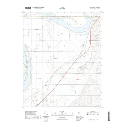 2020 Lake Cormorant2020 Print · USGSThe Mississippi Delta's borderlands are captured in this recent survey, where the river meets the plains of Mississippi and Tennessee. Genealogists and local historians can trace family locations near Lake Cormorant, Walls, and Lake View.
 - 2024 Map of Lake Cormorant, 2024 Print
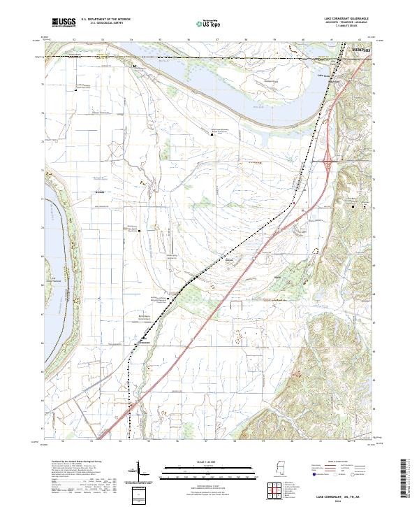 2024 Lake Cormorant2024 Print · USGSNorthwest Mississippi meets the Tennessee border in the 2020s, showing a landscape of river sloughs and expanding residential corridors. Genealogists can locate family sites like Armistead Cem and Norfolk Baptist Church Cem near Glover and Walls.
End of results
Showing maps 1-19 of 19
Top cities near Lake View
- Memphis historical maps
- Southaven historical maps
- Olive Branch historical maps
- Horn Lake historical maps
- West Memphis historical maps
- Marion historical maps
See more
Frequently asked questions
- What are the different types of historical maps available for Lake View?
- What is the oldest map of Lake View?
- Where can I purchase historical maps of Lake View for my home or office?
- Where can I download high-res historical maps of Lake View?
- Are there historical topographic maps available for Lake View?
- Is there historical aerial imagery available for Lake View?
- Where are historical maps of Lake View sourced from?