Old Maps of Barron Point, Mississippi for Metal Detecting
Plan your next treasure hunt with 14 historic maps of Barron Point. Find old homesites, ghost towns, trails, and gathering spots that may be lost to time — perfect for identifying promising metal detecting locations.
- Locate forgotten sites: Uncover places like long-lost settlements, abandoned rail lines, or gathering spots.
- Plan better hunts: Use map overlays combined with LiDAR or satellite views to narrow in on historically rich areas.
- Made for detectorists: Thousands of hobbyists use these maps to discover relics, coins, and hidden history.
Use these historic maps to boost your research and find new opportunities beneath the surface of Barron Point.
Barron Point, MS maps
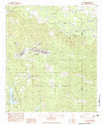
(14)- 1947 Map of New Augusta, 1965 Print
 1947 New Augusta1965 Print · USGSThe mid-century landscape of Perry and Forrest Counties is defined here by the growth of Camp Shelby and the vast De Soto National Forest. Genealogists and historians can trace old family sites like Granny Bounds Cem and vanished landmarks like the abandoned CCC Camp.3 unique versions available
 - 1949 Map of New Augusta
 1949 New Augusta1949 Print · USGSIn the late 1940s, this area of southern Mississippi was defined by the intersection of military training at Camp Shelby and the lush De Soto National Forest. Researchers can trace rural life through landmarks like Old Augusta, McLaurin Landing Field, and the Barett Fire Tower.2 unique versions available
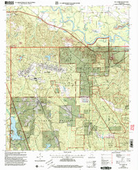
 - 1953 Map of Hattiesburg, 1965 Print
 1953 Hattiesburg1965 Print · USGSSouth Mississippi and western Alabama are shown here during the mid-twentieth century as the timber and rail industries shaped the region. Genealogists and historians can trace rail lines like the Mississippi Central and locate rural centers such as Magee, Richton, and Mount Vernon.4 unique versions available
 - 1958 Map of Hattiesburg
 1958 Hattiesburg1958 Print · USGSSoutheastern Mississippi's timber and rail networks are at their peak during the late fifties, centered on the growing hubs of Hattiesburg and Laurel. Researchers can trace old family landmarks like Sims Chapel, the Busbey Game Refuge, and the vanished stops along the Mississippi Central railroad.2 unique versions available
 - 1983 Map of McLaurin
 1983 McLaurin1983 Print · USGSMississippi's Pine Belt during the early eighties shows a unique blend of military infrastructure and deep Southern forest. Genealogists and historians can trace family locations near Morning Star Ch and Epps Cem or explore the early layout of Camp Shelby.3 unique versions available
 - 1984 Map of Hattiesburg
 1984 Hattiesburg1984 Print · USGSSouth Mississippi’s Pine Belt is seen here in the mid-eighties, showing the region as a hub of timber production and petroleum extraction. Trace the rail lines of the Illinois Central Gulf RR through old settlements like Richton or the energy developments at the Heidelberg Oil Field.2 unique versions available
 - 1984 Map of Hattiesburg
 1984 Hattiesburg1984 Print · USGSSouth Mississippi’s timber and military heartland comes into focus during the mid-eighties, centering on the hub of Hattiesburg and the winding Pearl River. Researchers can trace the rail lines of the Illinois Central Gulf through old towns like Bassfield and Sumrall, or locate rural landmarks like Society Hill Ch.
 - 1994 Map of Hattiesburg, 1995 Print
 1994 Hattiesburg1995 Print · USGSSouth-central Mississippi's river valleys and timberlands are seen here in the mid-1990s as the region's transport network matured. Researchers can trace rural lineages through sites like Old Pioneer Cem and Spring Cottage or explore the vast Camp Shelby Military Reservation.
 - 2000 Map of McLaurin, 2003 Print
 2000 McLaurin2003 Print · USGSForrest and Perry Counties are shown at the turn of the century, shaped by the massive Camp Shelby military reservation. Researchers can trace rural life and service through landmarks like Morning Star Ch, the McLaurin Landing Field, and McKenzie-Myers Cem.
 - 2012 Map of McLaurin, 2012 Print
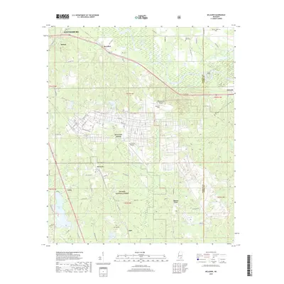
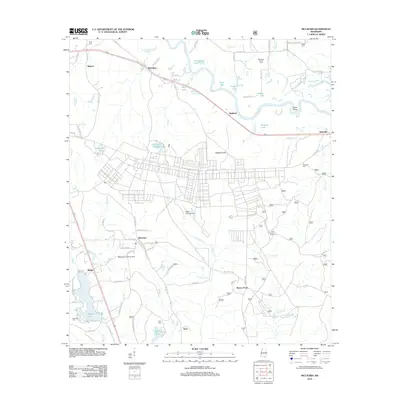 2012 McLaurin2012 Print · USGSCovers Barron Point, including Hattiesburg, McLaurin, and other nearby areas
 - 2015 Map of McLaurin, 2015 Print
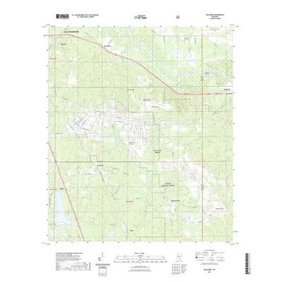
 2015 McLaurin2015 Print · USGSCovers Barron Point, including Hattiesburg, McLaurin, and other nearby areas
 - 2018 Map of McLaurin, 2018 Print
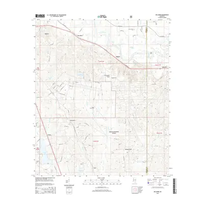
 2018 McLaurin2018 Print · USGSCovers Barron Point, including Hattiesburg, McLaurin, and other nearby areas
 - 2021 Map of McLaurin, 2021 Print
 2021 McLaurin2021 Print · USGSCovers Barron Point, including Hattiesburg, McLaurin, and other nearby areas
 - 2024 Map of McLaurin, 2024 Print
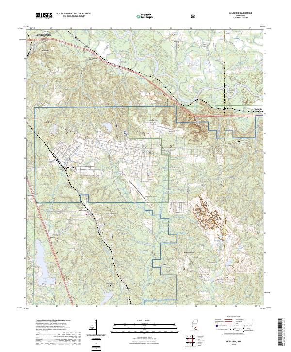 2024 McLaurin2024 Print · USGSForrest County's military and rural landscapes come into focus here during the early twenty-first century. Genealogists and historians can trace numerous family-named burial sites like McKenzie Myers Cem and Epps Cem alongside the training grounds of Camp Shelby.
End of results
Showing maps 1-14 of 14
Top cities near Barron Point
- Hattiesburg historical maps
- Petal historical maps
- Purvis historical maps
- Richton historical maps
- Beaumont historical maps
- New Augusta historical maps
Frequently asked questions
- What are the different types of historical maps available for Barron Point?
- What is the oldest map of Barron Point?
- Where can I purchase historical maps of Barron Point for my home or office?
- Where can I download high-res historical maps of Barron Point?
- Are there historical topographic maps available for Barron Point?
- Is there historical aerial imagery available for Barron Point?
- Where are historical maps of Barron Point sourced from?