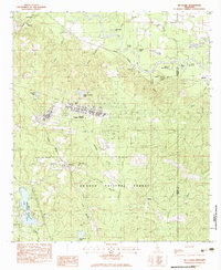
1983 Map of McLaurin
USGS Topo · Published 1983About this map
The massive military footprint of Camp Shelby dominates this portion of Forrest County, situated just south of the winding Leaf River. This 1983 survey reveals a landscape defined by the intersection of military utility and natural resources, with the Illinois Central Gulf railroad cutting through the central terrain. Small rural settlements like McLaurin and Ralston appear alongside significant family and community landmarks, such as Morning Star Ch and the McKenzie-Myers Cem.
Find a feature on this map
54 named features on this map. Tap any name to fly to it.
Don’t see what you’re looking for? This feature index may not catch every label — zoom into the map to look around manually.
Map Details
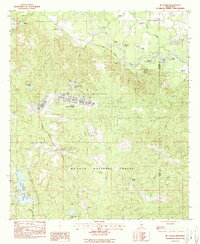
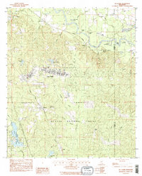
Editions of this 1983 McLaurin Map
3 editions found
Other maps of this area
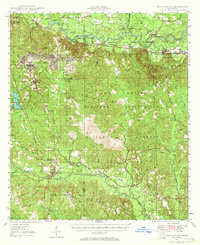
1947 · New Augusta
USGS Topo · 1:62,500
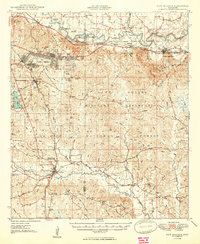
1949 · New Augusta
USGS Topo · 1:62,500

1953 · Hattiesburg
USGS Topo · 1:250,000

1958 · Hattiesburg
USGS Topo · 1:250,000
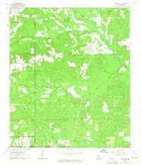
1963 · Rock Hill
USGS Topo · 1:24,000
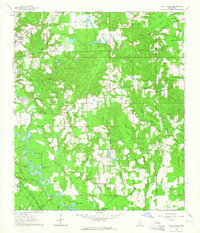
1964 · Carterville
USGS Topo · 1:24,000
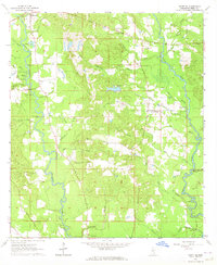
1964 · Ovett SE
USGS Topo · 1:24,000
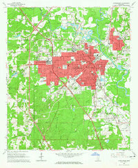
1964 · Hattiesburg
USGS Topo · 1:24,000
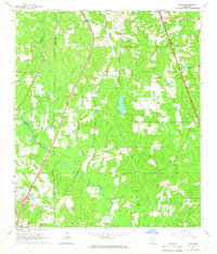
1965 · Dixie
USGS Topo · 1:24,000
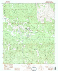
1983 · Brooklyn
USGS Topo · 1:24,000