Old Maps of Suffolk, Mississippi for Academic Research
Study the evolution of Suffolk with 13 high-resolution historic maps. Whether you're teaching, researching, or modeling changes in land use, these maps provide essential visual documentation of urban, environmental, and geographic change.
- Analyze long-term change: Track patterns in development, transportation, and natural features.
- Ideal for environmental or urban studies: Support academic projects with primary historical map data.
- Use in the classroom or lab: Educators and researchers rely on these maps to bring historical context to life.
These maps are a powerful tool for teaching, research, and visualizing how Suffolk has changed over the decades.
Suffolk, MS maps
(13)- 1953 Map of Natchez, 1966 Print
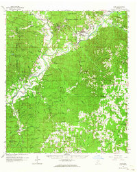
 1953 Natchez1966 Print · USGSSouthwest Mississippi and the Louisiana border country come alive in this mid-century survey of the river valley and forest lands. Researchers can trace the rail lines of the Illinois Central RR and locate rural hubs like Gloster and Ferriday.3 unique versions available
 - 1956 Map of Natchez
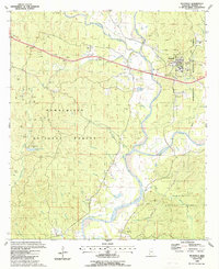
 1956 Natchez1956 Print · USGSThe Mississippi River borderlands and the Pine Hills come alive in this mid-fifties study of the Natchez region. Genealogists and historians can trace rail-era towns along the Illinois Central RR and explore the oxbows of Lake Bruin and Lake Concordia.
 - 1959 Map of Natchez
 1959 Natchez1959 Print · USGSSouthwestern Mississippi and eastern Louisiana are captured in the late fifties, showing a landscape defined by the winding Mississippi River and the timbered Homochitto National Forest. Researchers can trace the sprawling Illinois Central RR and find rural landmarks like Union Church and Camp Van Dorn (Abandoned).
 - 1962 Map of Bude, 1964 Print
 1962 Bude1964 Print · USGSSouthwest Mississippi's timber and oil country comes to life in the early sixties, centered on the lumber and rail hubs of Meadville and Bude. Genealogists can trace family lines through dozen of rural landmarks like Byrds Chapel, Smyrna Cemetery, and the West Bude Oil Field.2 unique versions available
 - 1984 Map of McComb
 1984 McComb1984 Print · USGSSouth Mississippi in the mid-eighties was defined by the rail corridor connecting McComb and Magnolia to the surrounding timberlands. You can trace the rural network of Pike County through landmarks like Holmesville, Percy Quin State Park, and the winding Bogue Chitto.
 - 1988 Map of Meadville
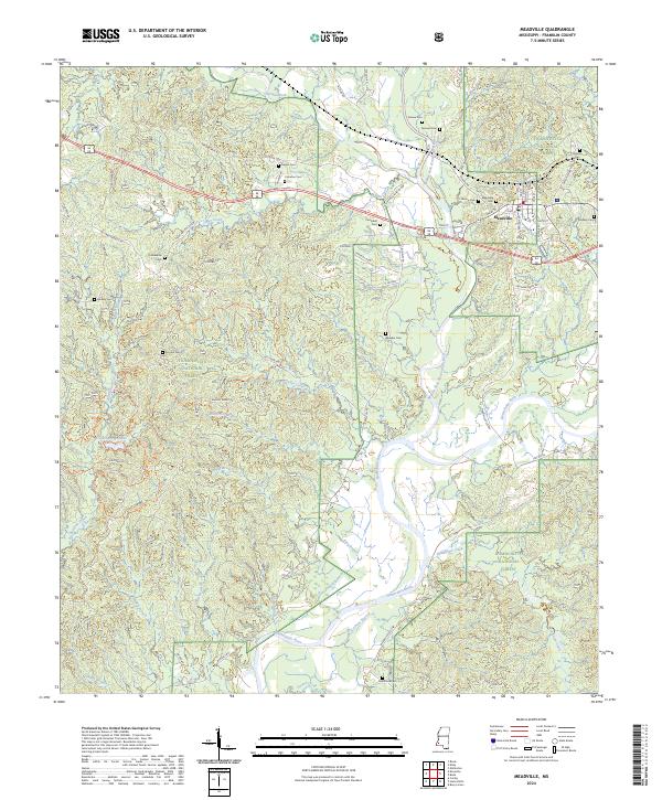
 1988 Meadville1988 Print · USGSMeadville and the surrounding Franklin County timberlands appear in the late eighties as a mixture of government forest and active oil exploration. Researchers can locate family burial sites at Hegan Cem and Mayfield Cem or trace the early paths around New Fork Ch.
 - 1994 Map of McComb
 1994 McComb1994 Print · USGSSouthern Mississippi's rail-and-timber country is documented here in the early nineties as the region balanced its industrial corridors with vast forest preserves. Genealogists can trace hundreds of family-named rural landmarks, from Holmesville and Chatawa to the historic Zion Hill Ch.
 - 2000 Map of Meadville, 2002 Print
 2000 Meadville2002 Print · USGSMeadville and the surrounding Franklin County timberlands are shown here at the turn of the millennium. Genealogists can locate family landmarks like Moore Cem, New Hope Ch, and the local Franklin County Hospital.
 - 2012 Map of Meadville, 2012 Print
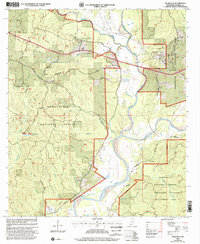
 2012 Meadville2012 Print · USGSCovers Suffolk, including Meadville, Franklin County, and other nearby areas
 - 2015 Map of Meadville, 2015 Print
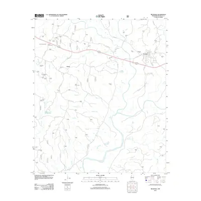
 2015 Meadville2015 Print · USGSCovers Suffolk, including Meadville, Franklin County, and other nearby areas
 - 2018 Map of Meadville, 2018 Print
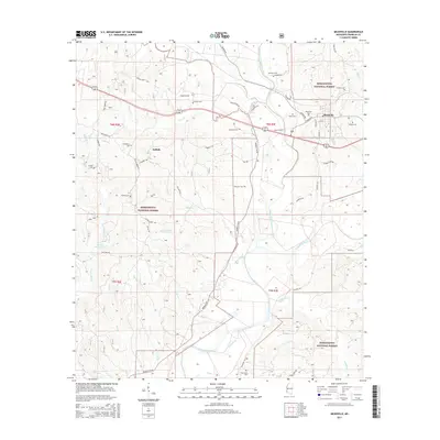
 2018 Meadville2018 Print · USGSCovers Suffolk, including Meadville, Franklin County, and other nearby areas
 - 2021 Map of Meadville, 2021 Print
 2021 Meadville2021 Print · USGSCovers Suffolk, including Meadville, Franklin County, and other nearby areas
 - 2024 Map of Meadville, 2024 Print
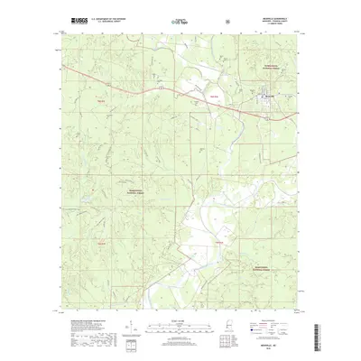
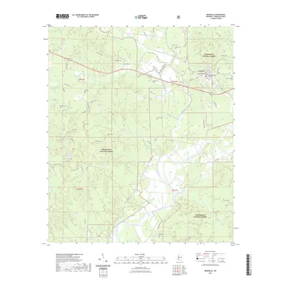
 2024 Meadville2024 Print · USGSModern-era Meadville and the surrounding forest lands are documented here, showing the town's position at the forks of the Homochitto. Researchers can trace local burial sites like Meadville Cem, Oak Grove Cem, and Smyrna Cem within the Homochitto National Forest.
End of results
Showing maps 1-13 of 13
Top cities near Suffolk
Frequently asked questions
- What are the different types of historical maps available for Suffolk?
- What is the oldest map of Suffolk?
- Where can I purchase historical maps of Suffolk for my home or office?
- Where can I download high-res historical maps of Suffolk?
- Are there historical topographic maps available for Suffolk?
- Is there historical aerial imagery available for Suffolk?
- Where are historical maps of Suffolk sourced from?