Old Maps of Leflore, Mississippi for Hiking & Exploration
Hike through history with 13 historic maps of Leflore. Explore old trails, ghost towns, and forgotten backroads — perfect for outdoor adventurers and local explorers.
- Rediscover forgotten places: Map out old mining camps, roads, and footpaths that no longer exist on modern maps.
- Layer with modern tools: Combine with LiDAR or satellite views to plan hikes through historical terrain.
- Made for exploration: Popular among hikers, overlanders, and local history lovers.
Use these maps to find adventure and explore the hidden past of Leflore.
Leflore, MS maps
(13)- 1936 Map of Greenwood
 1936 Greenwood1936 Print · USGSThe Mississippi Delta's river-driven economy is on full display in the mid-1930s as the forks of the Yazoo converge at Greenwood. Genealogists and historians can locate rural landmarks like Geren PO, Little Zion Ch, and the Rosenwald Sch among the oxbows of Tippo Bayou.2 unique versions available
 - 1940 Map of Greenwood, 1945 Print
 1940 Greenwood1945 Print · USGSThe Mississippi Delta's river-and-rail economy is in full view at the start of the 1940s, where the Yazoo River begins. Genealogists and historians can trace rural communities through the Rosenwald Sch, Ruby Sta, and the historic Malmaison estate.
 - 1953 Map of Greenwood, 1966 Print
 1953 Greenwood1966 Print · USGSThe Mississippi Delta in the mid-fifties is captured here as a thriving network of river towns, railroads, and oxbow lakes. Researchers can trace the legacy of the Illinois Central Railroad and locate landmarks like the State Penal Farm and Greenville Air Force Base.5 unique versions available
 - 1956 Map of Greenwood
 1956 Greenwood1956 Print · USGSThe Mississippi Delta in the mid-fifties is captured here during a period of significant military and agricultural activity. Researchers can trace the rail lines of the Illinois Central RR, find the Greenville Air Force Base, or locate the State Penal Farm.
 - 1957 Map of Greenwood
 1957 Greenwood1957 Print · USGSThe Mississippi Delta in the late fifties shows a landscape of river-bend settlements and extensive rail networks. Genealogists can trace family roots at Little Zion Ch & Cem, Money, and the many rural churches like Lanes Chapel or Evergreen Ch.3 unique versions available
 - 1974 Map of Greenwood NE, 1975 Print
 1974 Greenwood NE1975 Print · USGSThe Mississippi Delta meets the hills in the mid-1970s, showcasing a landscape of river bends and rural clearings. Genealogists and land researchers can trace the settlement at Avalon and the winding course of the Yalobusha River.
 - 1982 Map of Avalon
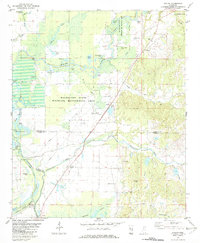 1982 Avalon1982 Print · USGSGrenada and Carroll County landscapes in the early eighties show a world of riverbottom settlements and country churches near the Yalobusha River. Genealogists can trace family landmarks like Union Grove Ch, St James Cem, and the community at Avalon.
 - 1983 Map of Greenwood
 1983 Greenwood1983 Print · USGSThe Mississippi Delta in the early eighties shows a landscape of rail-connected towns and vast river systems. Genealogists and historians can trace family roots in towns like Mound Bayou, Ruleville, and the grounds of Mississippi Valley State University.
 - 2012 Map of Avalon, 2012 Print
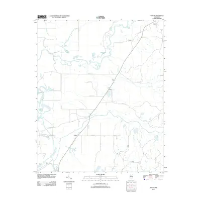 2012 Avalon2012 Print · USGSThe wetlands of the Yalobusha River basin are documented here in the early twenty-first century. Genealogists and local researchers can trace family landmarks like Shiloh Cem and Duncan Cem or explore the settlements of Avalon and Leflore.
 - 2015 Map of Avalon, 2015 Print
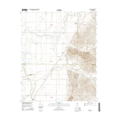 2015 Avalon2015 Print · USGSThe Delta lowlands and eastern hills meet along the Yalobusha River in Carroll and Leflore Counties during the mid-2010s. Genealogists and local historians can trace family roots through several rural landmarks, including Saint James Cem, Avalon, and Parsons.
 - 2018 Map of Avalon, 2018 Print
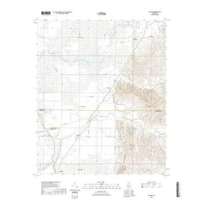 2018 Avalon2018 Print · USGSThe Yalobusha River bottomlands and the rising hills of Carroll County meet in this modern survey of the Avalon area. Researchers can trace the local landscape through historic burial grounds like Shiloh Cem and the small settlements of Leflore and Whaley.
 - 2020 Map of Avalon, 2020 Print
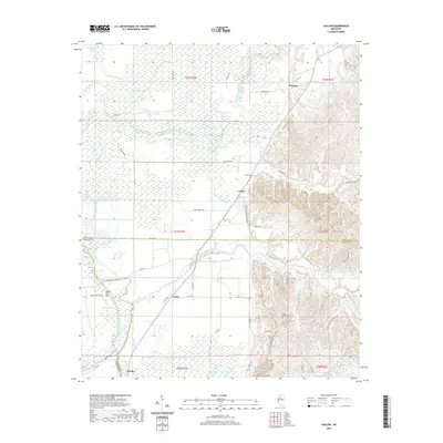 2020 Avalon2020 Print · USGSAvalon and the Yalobusha River bottoms are captured here in the early twenty-first century as they span the borders of Carroll and Leflore counties. Genealogists can locate several family-named landmarks and rural burial grounds including Saint James Cem, Duncan Cem, and the settlement at Parsons.
 - 2024 Map of Avalon, 2024 Print
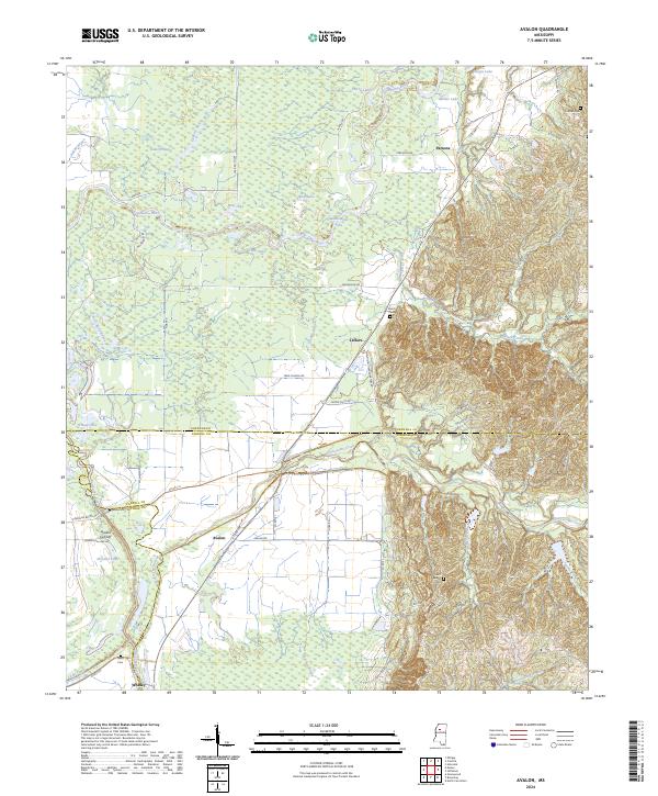 2024 Avalon2024 Print · USGSThe Yalobusha River floodplain and the rising hills of the Mississippi interior meet here in this recent survey. Local historians can trace family roots through sites like Shiloh Cem and Neals Cem, or explore the settlements of Avalon and Leflore.
End of results
Showing maps 1-13 of 13
Top cities near Leflore
- Greenwood historical maps
- Grenada historical maps
- North Carrollton historical maps
- Carrollton historical maps
Frequently asked questions
- What are the different types of historical maps available for Leflore?
- What is the oldest map of Leflore?
- Where can I purchase historical maps of Leflore for my home or office?
- Where can I download high-res historical maps of Leflore?
- Are there historical topographic maps available for Leflore?
- Is there historical aerial imagery available for Leflore?
- Where are historical maps of Leflore sourced from?