Old Maps of Orange, Mississippi for Academic Research
Study the evolution of Orange with 11 high-resolution historic maps. Whether you're teaching, researching, or modeling changes in land use, these maps provide essential visual documentation of urban, environmental, and geographic change.
- Analyze long-term change: Track patterns in development, transportation, and natural features.
- Ideal for environmental or urban studies: Support academic projects with primary historical map data.
- Use in the classroom or lab: Educators and researchers rely on these maps to bring historical context to life.
These maps are a powerful tool for teaching, research, and visualizing how Orange has changed over the decades.
Orange, MS maps
(11)- 1953 Map of Meridian, 1966 Print
 1953 Meridian1966 Print · USGSEast Central Mississippi and the Alabama borderlands are captured here during a period of steady growth and infrastructure expansion. Genealogists and historians can trace rail-town development along the Gulf Mobile & Ohio Railroad and find early settlements like Scooba, Pelahatchie, and De Kalb.2 unique versions available
 - 1957 Map of Meridian
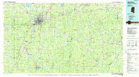
 1957 Meridian1957 Print · USGSEast Central Mississippi and parts of Western Alabama come alive in the mid-1950s, centered on the transit hub of Meridian. Researchers can trace old rail lines like the Illinois Central and find historic sites such as the Choctaw Indian Reservation and Roosevelt State Park.
 - 1957 Map of Enterprise, 1958 Print
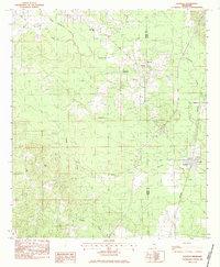
 1957 Enterprise1958 Print · USGSEast-central Mississippi is shown here in the late fifties, defined by the rail corridors of the Southern and GM&O lines. Researchers can trace family history through dozens of rural sites like Orange Twistwood Sch, Basic City, and Zion Hill Ch.
 - 1965 Map of Meridian
 1965 Meridian1965 Print · USGSEast Mississippi and West Alabama are mapped here in the mid-sixties as the region's modern highway and reservoir systems began to take shape. Researchers can trace rural lineages through local landmarks like Prince Chapel and Tuscahoma Landing, or follow the historic Gulf Mobile & Ohio rail lines.
 - 1983 Map of Pachuta
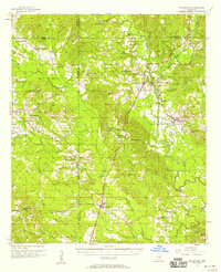
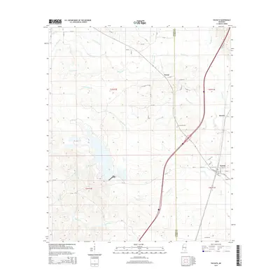
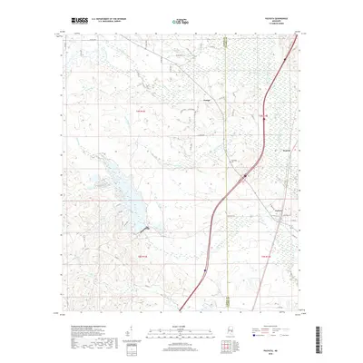
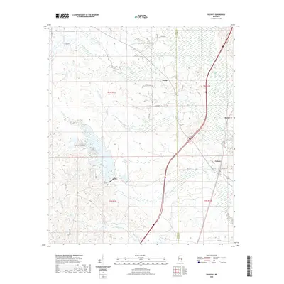
 1983 Pachuta1983 Print · USGSThe rural borderlands of Jasper and Clarke Counties come into focus in the early eighties as the SOUTHERN rail line passes through Pachuta. Genealogists and local historians can locate Clark Academy, the Herrington Cem, and several area churches like Mt Pleasant Ch.
 - 1984 Map of Meridian
 1984 Meridian1984 Print · USGSEastern Mississippi and Western Alabama come alive in the mid-1980s, showing the expansion of Meridian and the surrounding timber and river lands. Genealogists and researchers can trace family landmarks like Memorial Park Cem, the Pine Springs church, and the rural roads near Kewanee.3 unique versions available
 - 2012 Map of Pachuta, 2012 Print
 2012 Pachuta2012 Print · USGSCovers Orange, including Pachuta, Beatrice, and other nearby areas
 - 2015 Map of Pachuta, 2015 Print
 2015 Pachuta2015 Print · USGSCovers Orange, including Pachuta, Beatrice, and other nearby areas
 - 2018 Map of Pachuta, 2018 Print
 2018 Pachuta2018 Print · USGSCovers Orange, including Pachuta, Beatrice, and other nearby areas
 - 2020 Map of Pachuta, 2020 Print
 2020 Pachuta2020 Print · USGSCovers Orange, including Pachuta, Beatrice, and other nearby areas
 - 2024 Map of Pachuta, 2024 Print
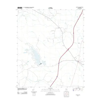
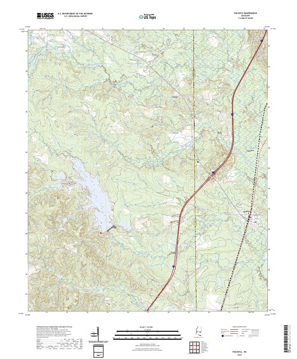 2024 Pachuta2024 Print · USGSThe rural borderlands of Jasper and Clarke Counties come into focus in this recent survey of eastern Mississippi. Researchers can trace local lineage at Herrington Cem or explore the development around Pachuta and the waterways of Phalti Lakes.
End of results
Showing maps 1-11 of 11
Top cities near Orange
- Meridian historical maps
- Newton historical maps
- Quitman historical maps
- Stonewall historical maps
- Heidelberg historical maps
- Shubuta historical maps
See more
Frequently asked questions
- What are the different types of historical maps available for Orange?
- What is the oldest map of Orange?
- Where can I purchase historical maps of Orange for my home or office?
- Where can I download high-res historical maps of Orange?
- Are there historical topographic maps available for Orange?
- Is there historical aerial imagery available for Orange?
- Where are historical maps of Orange sourced from?