Old Maps of Clifton, Mississippi for Metal Detecting
Plan your next treasure hunt with 13 historic maps of Clifton. Find old homesites, ghost towns, trails, and gathering spots that may be lost to time — perfect for identifying promising metal detecting locations.
- Locate forgotten sites: Uncover places like long-lost settlements, abandoned rail lines, or gathering spots.
- Plan better hunts: Use map overlays combined with LiDAR or satellite views to narrow in on historically rich areas.
- Made for detectorists: Thousands of hobbyists use these maps to discover relics, coins, and hidden history.
Use these historic maps to boost your research and find new opportunities beneath the surface of Clifton.
Clifton, MS maps
(13)- 1939 Map of Lorman, 1942 Print
 1939 Lorman1942 Print · USGSThe Mississippi River borderlands thrive with plantation life and early educational institutions during the late nineteen-thirties. You can trace family roots through numerous cemetery-school-church complexes like Richland Sch Ch & Cem and the grounds of Alcorn A & M College.
 - 1953 Map of Natchez, 1966 Print
 1953 Natchez1966 Print · USGSSouthwest Mississippi and the Louisiana border country come alive in this mid-century survey of the river valley and forest lands. Researchers can trace the rail lines of the Illinois Central RR and locate rural hubs like Gloster and Ferriday.3 unique versions available
 - 1956 Map of Natchez
 1956 Natchez1956 Print · USGSThe Mississippi River borderlands and the Pine Hills come alive in this mid-fifties study of the Natchez region. Genealogists and historians can trace rail-era towns along the Illinois Central RR and explore the oxbows of Lake Bruin and Lake Concordia.
 - 1958 Map of St. Joseph, 1960 Print
 1958 St. Joseph1960 Print · USGSThe Mississippi River borderlands in the late fifties reveal a landscape of plantation ruins and rising hills between Tensas Parish and Claiborne County. Genealogists can trace family footprints at St Joseph, the Windsor Ruins, and rural landmarks like Alcorn Sch and Mt Zion Ch.4 unique versions available
 - 1959 Map of Natchez
 1959 Natchez1959 Print · USGSSouthwestern Mississippi and eastern Louisiana are captured in the late fifties, showing a landscape defined by the winding Mississippi River and the timbered Homochitto National Forest. Researchers can trace the sprawling Illinois Central RR and find rural landmarks like Union Church and Camp Van Dorn (Abandoned).
 - 1984 Map of Natchez
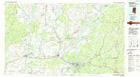 1984 Natchez1984 Print · USGSThe Mississippi-Louisiana borderlands in the mid-eighties show a landscape defined by the winding Mississippi River and its rail networks. Trace family history at the Natchez National Cemetery or explore the river towns of Vidalia and Ferriday.
 - 1986 Map of Lorman
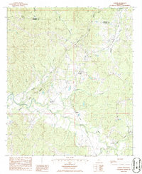 1986 Lorman1986 Print · USGSThe crossroads around Lorman and the historic Natchez Trace Parkway are captured in the mid-1980s. Genealogists and historians can trace the rail corridor of the Illinois Central Gulf Railroad through smaller settlements like Shankstown, Melton, and Coon Box.
 - 1991 Map of Natchez, 1992 Print
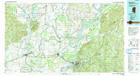 1991 Natchez1992 Print · USGSThe Mississippi River valley at the turn of the nineties reveals a landscape of oxbow lakes, river landings, and bustling bluff-top towns. Genealogists and historians can trace the rail corridors of the Illinois Central Gulf Railroad through Fayette or locate family roots in riverside settlements like Waterproof and St Joseph.
 - 2012 Map of Lorman, 2012 Print
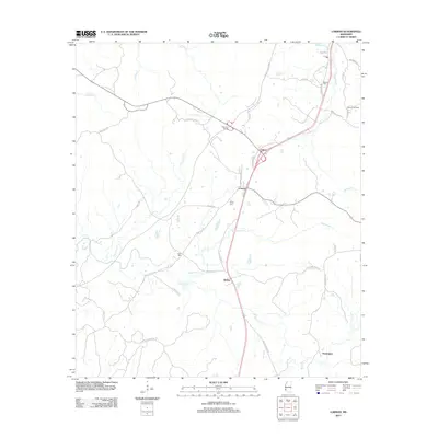 2012 Lorman2012 Print · USGSJefferson County's rural communities and creek-riven landscape are documented here at the start of the 2010s. Researchers can locate family landmarks like Waterloo Cem, trace the route of the Natchez Trace Pkwy, and explore settlements like Coon Box and Lorman.
 - 2015 Map of Lorman, 2015 Print
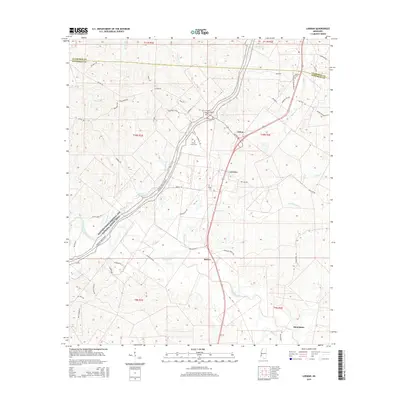 2015 Lorman2015 Print · USGSJefferson County and the Natchez Trace corridor are captured here during the mid-2010s, showing a landscape defined by historic transit routes and rural settlements. Genealogists can locate family burial grounds like Waterloo Cem and China Grove Cem or trace the environs of Lorman and Stonington.
 - 2018 Map of Lorman, 2018 Print
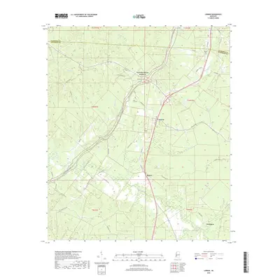 2018 Lorman2018 Print · USGSJefferson County in the 2010s remains a landscape shaped by its winding waterways and the legendary Natchez Trace Pkwy. Genealogists and local historians can locate several historic burial sites, including Waterloo Cem and China Grove Cem, near the settlement of Lorman.
 - 2020 Map of Lorman, 2020 Print
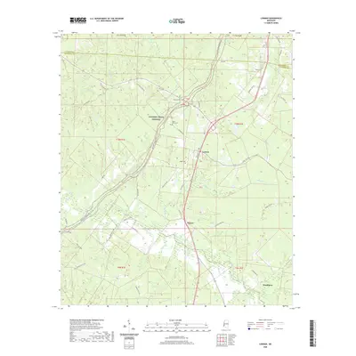 2020 Lorman2020 Print · USGSJefferson County settlement and the winding Natchez Trace Parkway are documented here in the early twenty-first century. Genealogists can locate several family burial sites including McCaa Cem and Ridge Cem near the historic Lorman community.
 - 2024 Map of Lorman, 2024 Print
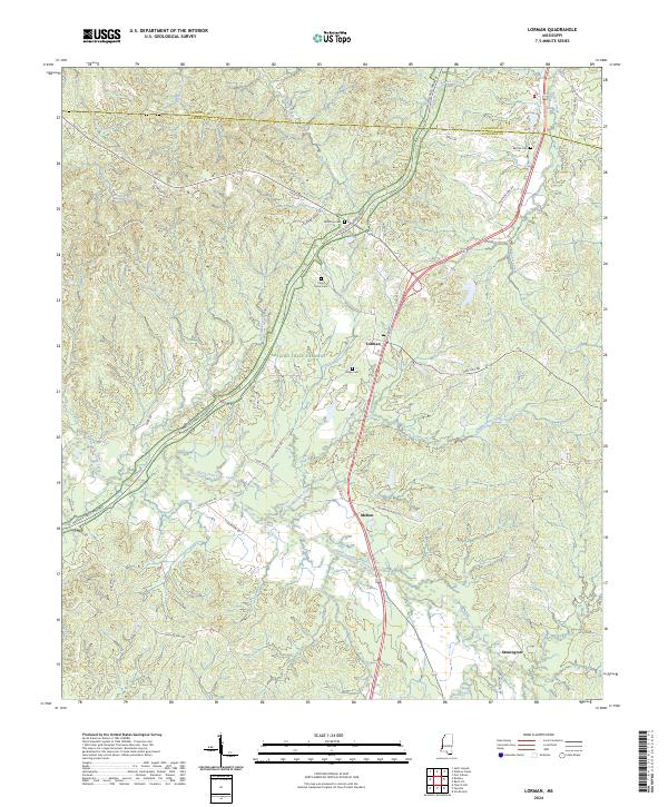 2024 Lorman2024 Print · USGSJefferson County in the 2020s remains a landscape of deep creek valleys and historic road networks winding through the Mississippi woods. Researchers can locate family landmarks like China Grove Cem and McCaa Cem or trace the route of the Natchez Trace Parkway past Lorman.
End of results
Showing maps 1-13 of 13
Top cities near Clifton
Frequently asked questions
- What are the different types of historical maps available for Clifton?
- What is the oldest map of Clifton?
- Where can I purchase historical maps of Clifton for my home or office?
- Where can I download high-res historical maps of Clifton?
- Are there historical topographic maps available for Clifton?
- Is there historical aerial imagery available for Clifton?
- Where are historical maps of Clifton sourced from?