Old Maps of Hoy, Mississippi for Academic Research
Study the evolution of Hoy with 11 high-resolution historic maps. Whether you're teaching, researching, or modeling changes in land use, these maps provide essential visual documentation of urban, environmental, and geographic change.
- Analyze long-term change: Track patterns in development, transportation, and natural features.
- Ideal for environmental or urban studies: Support academic projects with primary historical map data.
- Use in the classroom or lab: Educators and researchers rely on these maps to bring historical context to life.
These maps are a powerful tool for teaching, research, and visualizing how Hoy has changed over the decades.
Hoy, MS maps
(11)- 1953 Map of Hattiesburg, 1965 Print
 1953 Hattiesburg1965 Print · USGSSouth Mississippi and western Alabama are shown here during the mid-twentieth century as the timber and rail industries shaped the region. Genealogists and historians can trace rail lines like the Mississippi Central and locate rural centers such as Magee, Richton, and Mount Vernon.4 unique versions available
 - 1958 Map of Hattiesburg
 1958 Hattiesburg1958 Print · USGSSoutheastern Mississippi's timber and rail networks are at their peak during the late fifties, centered on the growing hubs of Hattiesburg and Laurel. Researchers can trace old family landmarks like Sims Chapel, the Busbey Game Refuge, and the vanished stops along the Mississippi Central railroad.2 unique versions available
 - 1964 Map of Moss, 1965 Print
 1964 Moss1965 Print · USGSThe Jasper and Jones County line area in the mid-sixties reveals a landscape of rural settlements and timberland. Genealogists can trace family footprints through sites like Moss, Shady Grove, and Union Seminary Ch.3 unique versions available
 - 1984 Map of Hattiesburg
 1984 Hattiesburg1984 Print · USGSSouth Mississippi’s Pine Belt is seen here in the mid-eighties, showing the region as a hub of timber production and petroleum extraction. Trace the rail lines of the Illinois Central Gulf RR through old settlements like Richton or the energy developments at the Heidelberg Oil Field.2 unique versions available
 - 1984 Map of Laurel
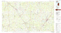 1984 Laurel1984 Print · USGSCentral Mississippi in the mid-eighties shows a landscape of timberlands and river valleys anchored by the growth of Laurel. Genealogists can trace family names near Oak Grove Ch, rural School sites, and settlements along the Illinois Central Gulf RR.
 - 1994 Map of Laurel
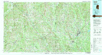 1994 Laurel1994 Print · USGSThe piney woods of south-central Mississippi come into focus in the 1990s, centered on the timber and industrial hub of Laurel. Genealogists and researchers can trace the rural landscape between Collins and Bay Springs or locate homesites near Ellisville and Magee.
 - 2012 Map of Moss, 2012 Print
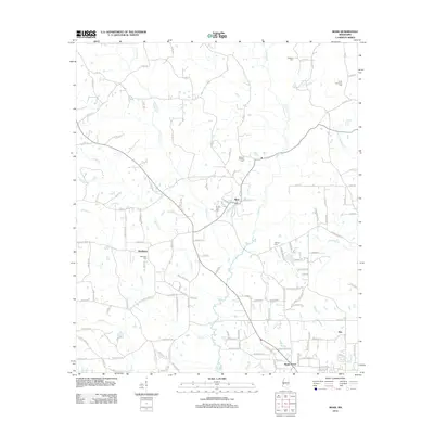 2012 Moss2012 Print · USGSJones County at the start of the decade shows a landscape of rural hamlets and family landholdings. Researchers can locate ancestral burial sites like Union Seminary Cem and Matthews Cem near settlements such as Moss and Shady Grove.
 - 2015 Map of Moss, 2015 Print
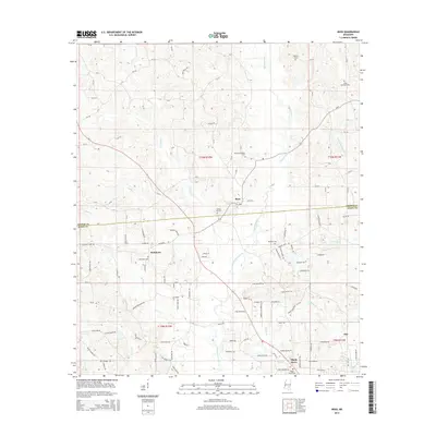 2015 Moss2015 Print · USGSThe Jasper and Jones County line in southeastern Mississippi comes into focus during the mid-2010s, showing a landscape defined by creek drainages and rural settlements. Genealogists can locate several historic burial sites, including Union Seminary Cem, Matthews Cem, and Shady Grove Cem.
 - 2018 Map of Moss, 2018 Print
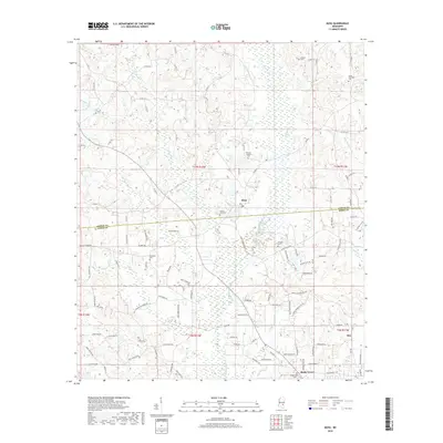 2018 Moss2018 Print · USGSThe Pine Belt of Jasper and Jones counties is captured here in the late twenty-first century, showing the enduring rural character of this Mississippi landscape. Genealogists can locate family burial sites like Union Seminary Cem, Welborn Cem, and the namesake Shady Grove Cem.
 - 2020 Map of Moss, 2020 Print
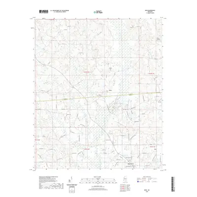 2020 Moss2020 Print · USGSJones and Jasper County communities appear at the start of the 2020s, centered on the settlement of Moss. Trace family roots through local landmarks like Union Seminary Baptist Cem, Dead Lake, and Shady Grove.
 - 2024 Map of Moss, 2024 Print
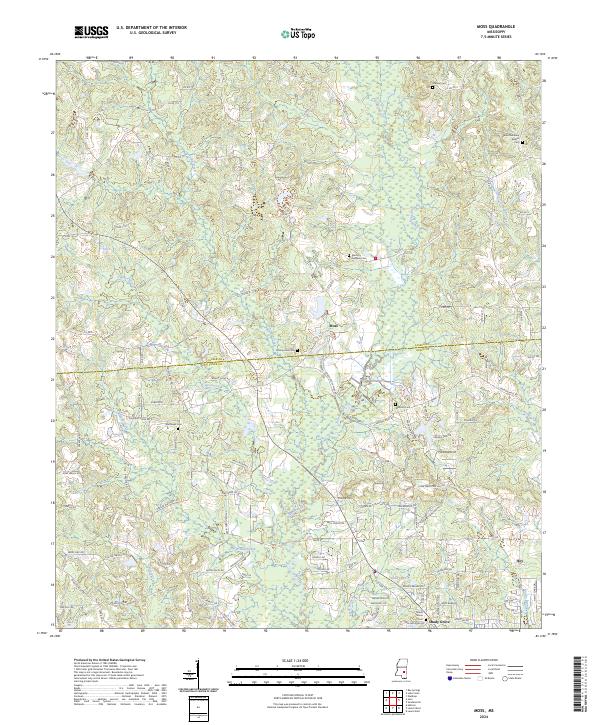 2024 Moss2024 Print · USGSThe borderlands of Jasper and Jones Counties come into focus in this recent survey of rural Mississippi. Genealogists can trace family names and community hubs through sites like Moss, Shady Grove, and the Union Seminary Baptist Cem.
End of results
Showing maps 1-11 of 11
Top cities near Hoy
- Laurel historical maps
- Ellisville historical maps
- Bay Springs historical maps
- Heidelberg historical maps
- Sandersville historical maps
- Soso historical maps
Frequently asked questions
- What are the different types of historical maps available for Hoy?
- What is the oldest map of Hoy?
- Where can I purchase historical maps of Hoy for my home or office?
- Where can I download high-res historical maps of Hoy?
- Are there historical topographic maps available for Hoy?
- Is there historical aerial imagery available for Hoy?
- Where are historical maps of Hoy sourced from?