2000s (21st Century) Maps of Laurel, Mississippi
Explore 15 historic maps of Laurel from the 2000s (21st Century). These maps offer a rare glimpse into what life looked like during the 2000s — showing old roads, neighborhoods, homes, and landmarks that have changed or disappeared over time.
Whether you're researching your family's past, planning a metal detecting trip, or studying how Laurel's landscape evolved across the 2000s, these high-resolution maps are a powerful tool for exploring the history of this region.
- Focus on a specific era: All maps on this page are from the 2000s, giving you a focused view of this time period.
- See what’s changed: Compare century-old streets, trails, and buildings to today's modern landscape using overlays and satellite layers.
- Research with precision: Use these maps for genealogy, historical research, land use analysis, or educational projects.
- View, download, or print: Maps are fully viewable online in high resolution, and can be downloaded or printed for your own records.
Start exploring Laurel's history through authentic maps from the 2000s. This is your window into the past.
Laurel, MS maps
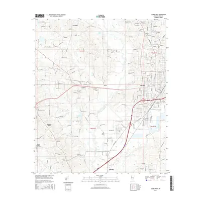
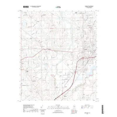
(15)- 2012 Map of Laurel West, 2012 Print
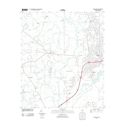 2012 Laurel West2012 Print · USGSCovers Laurel, including Ellisville, Pleasant Ridge, and other nearby areas
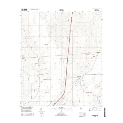
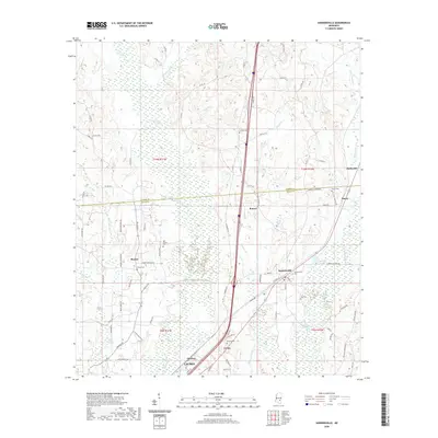
 - 2012 Map of Sandersville, 2012 Print
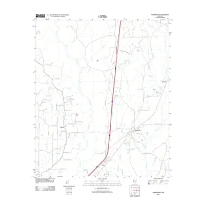 2012 Sandersville2012 Print · USGSCovers Laurel, including Sandersville, Errata, and other nearby areas
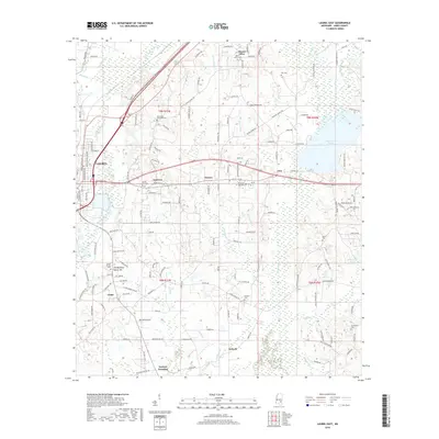
 - 2012 Map of Laurel East, 2012 Print
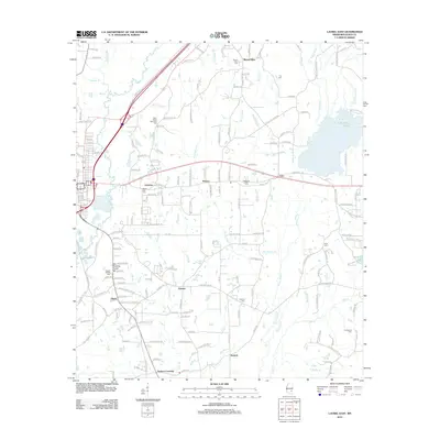 2012 Laurel East2012 Print · USGSCovers Laurel, including Glaston, Antioch, and other nearby areas
 - 2015 Map of Laurel East, 2015 Print
 2015 Laurel East2015 Print · USGSCovers Laurel, including Glaston, Antioch, and other nearby areas
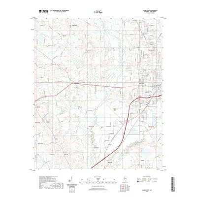
 - 2015 Map of Laurel West, 2015 Print
 2015 Laurel West2015 Print · USGSCovers Laurel, including Ellisville, Pleasant Ridge, and other nearby areas
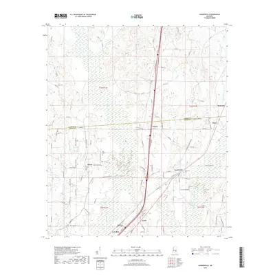
 - 2015 Map of Sandersville, 2015 Print
 2015 Sandersville2015 Print · USGSCovers Laurel, including Sandersville, Errata, and other nearby areas
 - 2018 Map of Sandersville, 2018 Print
 2018 Sandersville2018 Print · USGSCovers Laurel, including Sandersville, Errata, and other nearby areas
 - 2018 Map of Laurel East, 2018 Print
 2018 Laurel East2018 Print · USGSCovers Laurel, including Glaston, Antioch, and other nearby areas
 - 2018 Map of Laurel West, 2018 Print
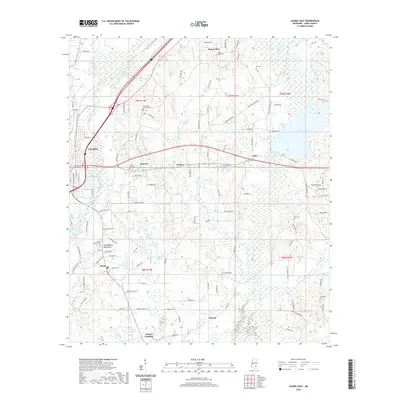
 2018 Laurel West2018 Print · USGSCovers Laurel, including Ellisville, Pleasant Ridge, and other nearby areas
 - 2020 Map of Sandersville, 2020 Print
 2020 Sandersville2020 Print · USGSCovers Laurel, including Sandersville, Errata, and other nearby areas
 - 2020 Map of Laurel West, 2020 Print
 2020 Laurel West2020 Print · USGSCovers Laurel, including Ellisville, Pleasant Ridge, and other nearby areas
 - 2020 Map of Laurel East, 2020 Print
 2020 Laurel East2020 Print · USGSCovers Laurel, including Glaston, Antioch, and other nearby areas
 - 2024 Map of Sandersville, 2024 Print
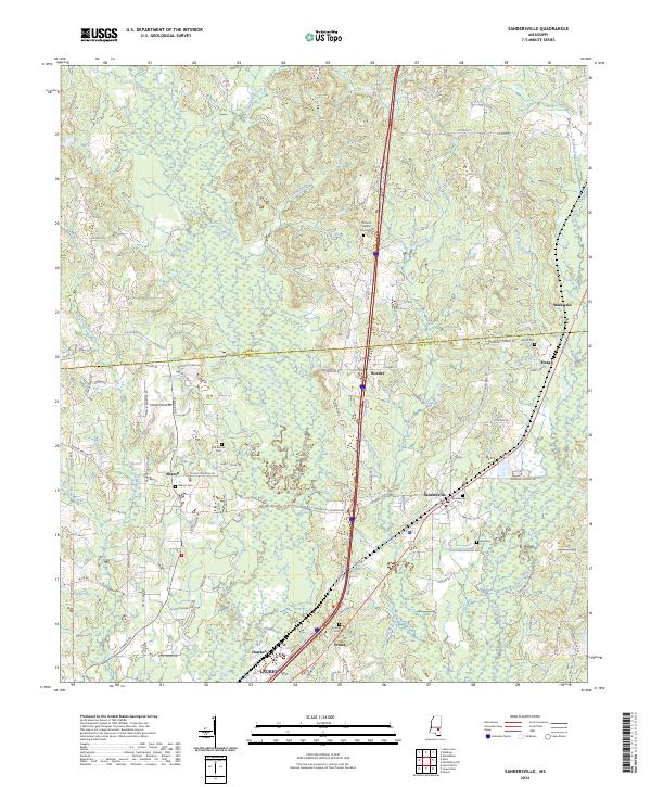 2024 Sandersville2024 Print · USGSThe rural pine-belt landscape of southern Mississippi comes into focus in this recent survey of the Jones and Jasper County line. Genealogists can locate numerous burial sites and small settlements, including Old Sharon Cem, Sandersville, and Errata.
 - 2024 Map of Laurel West, 2024 Print
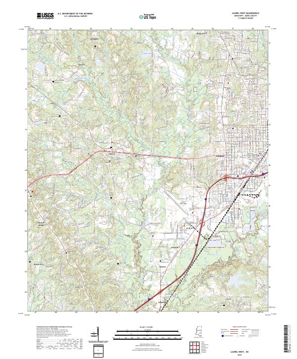 2024 Laurel West2024 Print · USGSThe western reaches of Laurel and the surrounding Jones County countryside are shown here in modern detail. Genealogists can trace family sites at Hickory Grove Cem, Lebanon Cem, and the Jones County Courthouse.
 - 2024 Map of Laurel East, 2024 Print
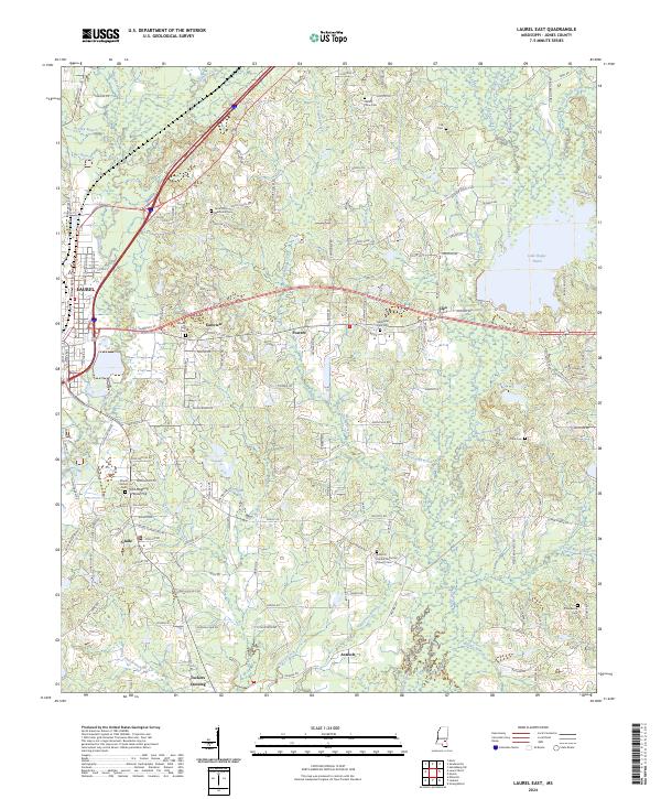 2024 Laurel East2024 Print · USGSJones County, Mississippi, is shown here in its modern rural character, defined by the wetlands of the Bogue Homo and the eastern outskirts of Laurel. Researchers can trace local lineages through sites like Old Meeting House Hill, Tuckers Crossing, and the Antioch United Methodist Church Cem.
End of results
Showing maps 1-15 of 15
Top cities near Laurel
- Ellisville historical maps
- Heidelberg historical maps
- Sandersville historical maps
- Soso historical maps
Top neighborhoods of Laurel
Frequently asked questions
- What are the different types of historical maps available for Laurel?
- What is the oldest map of Laurel?
- Where can I purchase historical maps of Laurel for my home or office?
- Where can I download high-res historical maps of Laurel?
- Are there historical topographic maps available for Laurel?
- Is there historical aerial imagery available for Laurel?
- Where are historical maps of Laurel sourced from?