Old Maps of Laurel, Mississippi for Metal Detecting
Plan your next treasure hunt with 23 historic maps of Laurel. Find old homesites, ghost towns, trails, and gathering spots that may be lost to time — perfect for identifying promising metal detecting locations.
- Locate forgotten sites: Uncover places like long-lost settlements, abandoned rail lines, or gathering spots.
- Plan better hunts: Use map overlays combined with LiDAR or satellite views to narrow in on historically rich areas.
- Made for detectorists: Thousands of hobbyists use these maps to discover relics, coins, and hidden history.
Use these historic maps to boost your research and find new opportunities beneath the surface of Laurel.
Laurel, MS maps
(23)- 1953 Map of Hattiesburg, 1965 Print
 1953 Hattiesburg1965 Print · USGSSouth Mississippi and western Alabama are shown here during the mid-twentieth century as the timber and rail industries shaped the region. Genealogists and historians can trace rail lines like the Mississippi Central and locate rural centers such as Magee, Richton, and Mount Vernon.4 unique versions available
 - 1958 Map of Hattiesburg
 1958 Hattiesburg1958 Print · USGSSoutheastern Mississippi's timber and rail networks are at their peak during the late fifties, centered on the growing hubs of Hattiesburg and Laurel. Researchers can trace old family landmarks like Sims Chapel, the Busbey Game Refuge, and the vanished stops along the Mississippi Central railroad.2 unique versions available
 - 1964 Map of Sandersville, 1965 Print
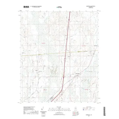
 1964 Sandersville1965 Print · USGSNear the Jasper and Jones county line in the mid-sixties, this area shows a landscape shaped by petroleum and rail. Genealogists can trace family names at the Old Sharon Cem, Mt Moriah Ch, and the town of Sandersville.4 unique versions available
 - 1964 Map of Laurel East, 1965 Print
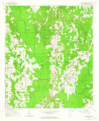
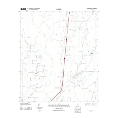
 1964 Laurel East1965 Print · USGSJones County at the height of the 1960s reveals a landscape of industrial claypits and quiet rural crossroads. Genealogists can trace family landmarks like the Nora Davis Memorial Cem, Smith Chapel, and the settlement at Tuckers Crossing.4 unique versions available
 - 1964 Map of Laurel West, 1965 Print
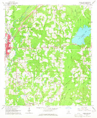
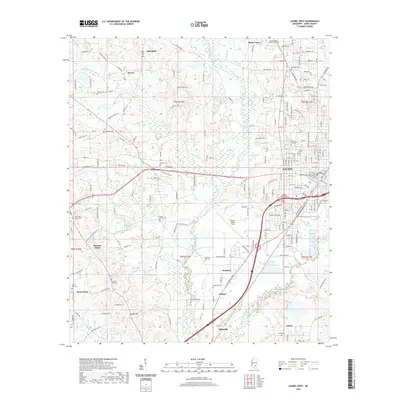
 1964 Laurel West1965 Print · USGSJones County's industrial and civic core is mapped during the mid-sixties, showcasing the western growth of the regional hub. Genealogists and local historians can trace rural family sites like West Pleasant Grove Cem and community landmarks such as Pendorff Sch or Indian Springs Ch.3 unique versions available
 - 1984 Map of Hattiesburg
 1984 Hattiesburg1984 Print · USGSSouth Mississippi’s Pine Belt is seen here in the mid-eighties, showing the region as a hub of timber production and petroleum extraction. Trace the rail lines of the Illinois Central Gulf RR through old settlements like Richton or the energy developments at the Heidelberg Oil Field.2 unique versions available
 - 1984 Map of Laurel
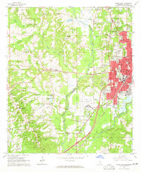
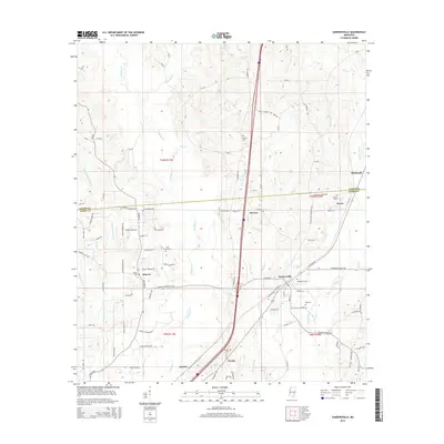
 1984 Laurel1984 Print · USGSCentral Mississippi in the mid-eighties shows a landscape of timberlands and river valleys anchored by the growth of Laurel. Genealogists can trace family names near Oak Grove Ch, rural School sites, and settlements along the Illinois Central Gulf RR.
 - 1994 Map of Laurel
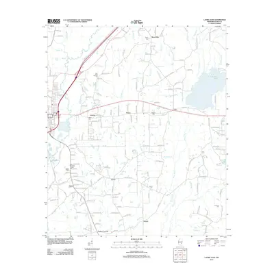
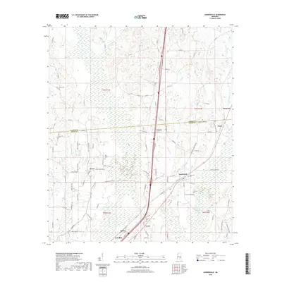
 1994 Laurel1994 Print · USGSThe piney woods of south-central Mississippi come into focus in the 1990s, centered on the timber and industrial hub of Laurel. Genealogists and researchers can trace the rural landscape between Collins and Bay Springs or locate homesites near Ellisville and Magee.
 - 2012 Map of Laurel West, 2012 Print
 2012 Laurel West2012 Print · USGSCovers Laurel, including Ellisville, Pleasant Ridge, and other nearby areas
 - 2012 Map of Sandersville, 2012 Print
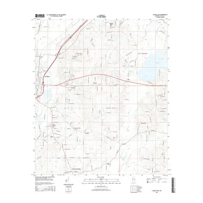
 2012 Sandersville2012 Print · USGSCovers Laurel, including Sandersville, Errata, and other nearby areas
 - 2012 Map of Laurel East, 2012 Print
 2012 Laurel East2012 Print · USGSCovers Laurel, including Glaston, Antioch, and other nearby areas
 - 2015 Map of Laurel East, 2015 Print
 2015 Laurel East2015 Print · USGSCovers Laurel, including Glaston, Antioch, and other nearby areas
 - 2015 Map of Laurel West, 2015 Print
 2015 Laurel West2015 Print · USGSCovers Laurel, including Ellisville, Pleasant Ridge, and other nearby areas
 - 2015 Map of Sandersville, 2015 Print
 2015 Sandersville2015 Print · USGSCovers Laurel, including Sandersville, Errata, and other nearby areas
 - 2018 Map of Sandersville, 2018 Print
 2018 Sandersville2018 Print · USGSCovers Laurel, including Sandersville, Errata, and other nearby areas
 - 2018 Map of Laurel East, 2018 Print
 2018 Laurel East2018 Print · USGSCovers Laurel, including Glaston, Antioch, and other nearby areas
 - 2018 Map of Laurel West, 2018 Print
 2018 Laurel West2018 Print · USGSCovers Laurel, including Ellisville, Pleasant Ridge, and other nearby areas
 - 2020 Map of Sandersville, 2020 Print
 2020 Sandersville2020 Print · USGSCovers Laurel, including Sandersville, Errata, and other nearby areas
 - 2020 Map of Laurel West, 2020 Print
 2020 Laurel West2020 Print · USGSCovers Laurel, including Ellisville, Pleasant Ridge, and other nearby areas
 - 2020 Map of Laurel East, 2020 Print
 2020 Laurel East2020 Print · USGSCovers Laurel, including Glaston, Antioch, and other nearby areas
 - 2024 Map of Sandersville, 2024 Print
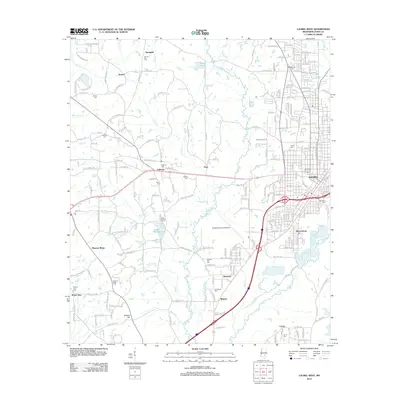
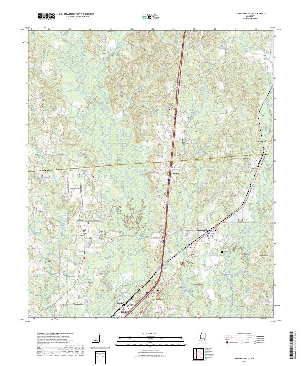 2024 Sandersville2024 Print · USGSThe rural pine-belt landscape of southern Mississippi comes into focus in this recent survey of the Jones and Jasper County line. Genealogists can locate numerous burial sites and small settlements, including Old Sharon Cem, Sandersville, and Errata.
 - 2024 Map of Laurel West, 2024 Print
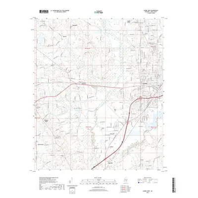
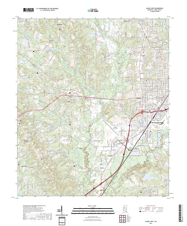 2024 Laurel West2024 Print · USGSThe western reaches of Laurel and the surrounding Jones County countryside are shown here in modern detail. Genealogists can trace family sites at Hickory Grove Cem, Lebanon Cem, and the Jones County Courthouse.
 - 2024 Map of Laurel East, 2024 Print
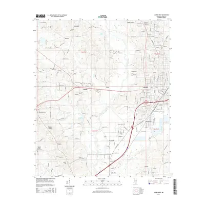
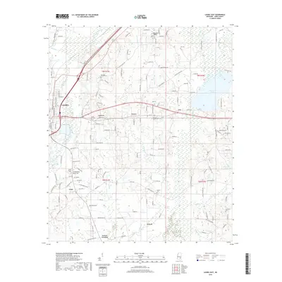
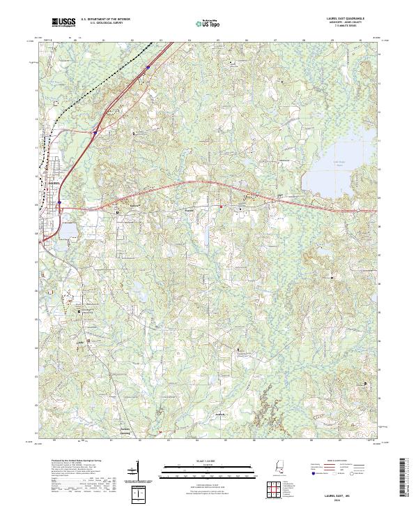 2024 Laurel East2024 Print · USGSJones County, Mississippi, is shown here in its modern rural character, defined by the wetlands of the Bogue Homo and the eastern outskirts of Laurel. Researchers can trace local lineages through sites like Old Meeting House Hill, Tuckers Crossing, and the Antioch United Methodist Church Cem.
End of results
Showing maps 1-23 of 23
Top cities near Laurel
- Ellisville historical maps
- Heidelberg historical maps
- Sandersville historical maps
- Soso historical maps
Top neighborhoods of Laurel
Frequently asked questions
- What are the different types of historical maps available for Laurel?
- What is the oldest map of Laurel?
- Where can I purchase historical maps of Laurel for my home or office?
- Where can I download high-res historical maps of Laurel?
- Are there historical topographic maps available for Laurel?
- Is there historical aerial imagery available for Laurel?
- Where are historical maps of Laurel sourced from?