2020s Maps of Oxford, Mississippi
Explore 8 historic maps of Oxford from the 2020s. These maps offer a rare glimpse into what life looked like during the 2020s — showing old roads, neighborhoods, homes, and landmarks that have changed or disappeared over time.
Whether you're researching your family's past, planning a metal detecting trip, or studying how Oxford's landscape evolved across the 2020s, these high-resolution maps are a powerful tool for exploring the history of this region.
- Focus on a specific era: All maps on this page are from the 2020s, giving you a focused view of this time period.
- See what’s changed: Compare century-old streets, trails, and buildings to today's modern landscape using overlays and satellite layers.
- Research with precision: Use these maps for genealogy, historical research, land use analysis, or educational projects.
- View, download, or print: Maps are fully viewable online in high resolution, and can be downloaded or printed for your own records.
Start exploring Oxford's history through authentic maps from the 2020s. This is your window into the past.
Oxford, MS maps
(8)- 2021 Map of Oxford North, 2021 Print
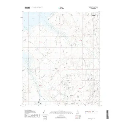 2021 Oxford North2021 Print · USGSCovers Oxford, including Abbeville, Lakeway Gardens, and other nearby areas
 - 2021 Map of Oxford South, 2021 Print
 2021 Oxford South2021 Print · USGSCovers Oxford, including Taylor, Meadowview, and other nearby areas
 - 2021 Map of Bagley Lake, 2021 Print
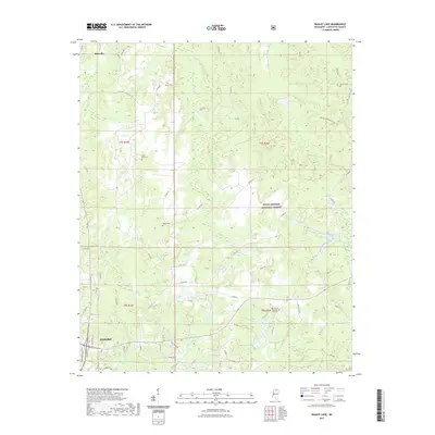 2021 Bagley Lake2021 Print · USGSCovers Oxford, including Abbeville, Woodland Hills Estates, and other nearby areas
 - 2021 Map of Yocona, 2021 Print
 2021 Yocona2021 Print · USGSCovers Oxford, including Rollings Woods, Altus, and other nearby areas
 - 2024 Map of Bagley Lake, 2024 Print
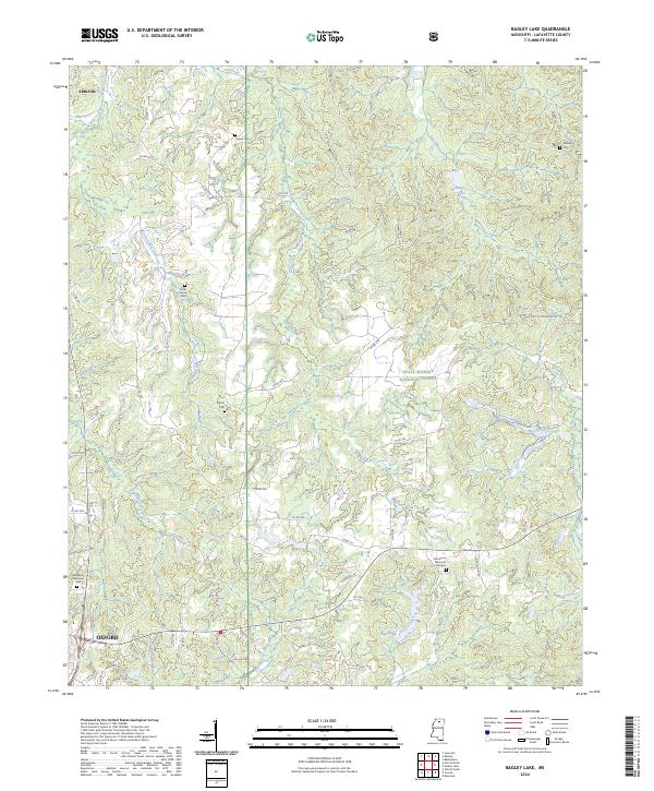 2024 Bagley Lake2024 Print · USGSLafayette County enters the mid-2020s with its rural cemeteries and forest boundaries preserved amidst the growth of the northern hill country. Researchers can trace family history at Owens Cem, Martin Cem, and Oak Grove Memorial Gardens near the edge of Oxford.
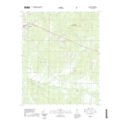
 - 2024 Map of Yocona, 2024 Print
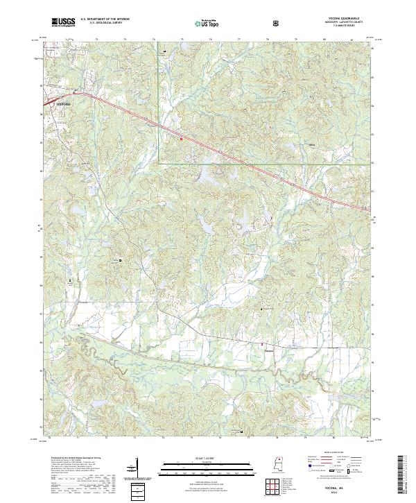 2024 Yocona2024 Print · USGSLafayette County unfolds east of Oxford in the early 2020s, revealing a mix of university-town expansion and protected forest lands. Researchers can trace rural lineages through local landmarks like Mount Zion Cem, Altus, and the Yocona River valley.
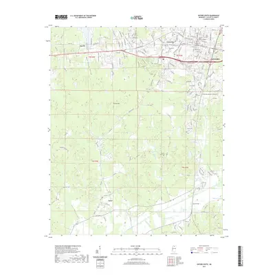
 - 2024 Map of Oxford North, 2024 Print
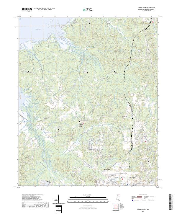 2024 Oxford North2024 Print · USGSLafayette County and the northern reaches of Oxford are mapped in the 2020s as residential growth meets the shoreline of Sardis Lake. Genealogists can trace family names at the College Hill Cem, North Oxford Cem, and Tobby Tubby Cem.
 - 2024 Map of Oxford South, 2024 Print
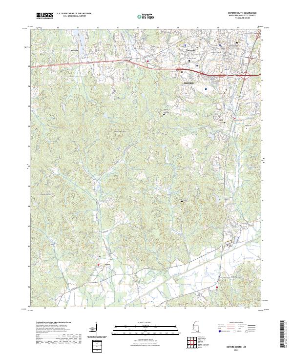 2024 Oxford South2024 Print · USGSOxford and the University campus are captured in great detail in this 2024 survey. Local historians can trace family and civic sites from the Lafayette County Courthouse to the Buckner - Craig Isom Cem and the rural settlement of Taylor.
End of results
Showing maps 1-8 of 8
Top cities near Oxford
Top neighborhoods of Oxford
Frequently asked questions
- What are the different types of historical maps available for Oxford?
- What is the oldest map of Oxford?
- Where can I purchase historical maps of Oxford for my home or office?
- Where can I download high-res historical maps of Oxford?
- Are there historical topographic maps available for Oxford?
- Is there historical aerial imagery available for Oxford?
- Where are historical maps of Oxford sourced from?