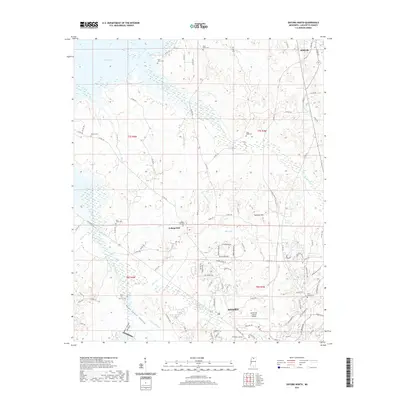
2021 Map of Oxford North
USGS Topo · Published 2021About this map
College Hill and the northern outskirts of Oxford anchor this north-central Mississippi landscape as it appeared in the early 21st century. The map highlights a long-settled rural fabric, evidenced by numerous historical burying grounds including Saint Johns Cemetery, Toby Tubby Cemetery, and College Hill Cemetery. To the northwest, the waters of Sardis Lake reach into the quadrangle, shaping the local drainage patterns of Toby Tubby Creek and Lott Branch. The terrain transitions from the low-lying East Goose Valley toward elevated landmarks like Saddlers Hill. Infrastructure such as the University-Oxford Airport and an extensive network of county roads, including Old Sardis Road and County Road 102, reflects the continued growth and connectivity of Lafayette County, bridging the space between the university town and northern settlements like Abbeville.
Find a feature on this map
98 named features on this map. Tap any name to fly to it.
Don’t see what you’re looking for? This feature index may not catch every label — zoom into the map to look around manually.
Map Details
Editions of this 2021 Oxford North Map
This is the sole edition of this map. No revisions or reprints were ever made.
Other maps of this area

1940 · Oxford
USGS Topo · 1:62,500

1942 · Denmark
USGS Topo · 1:62,500

1943 · Denmark
USGS Topo · 1:62,500

1943 · Oxford
USGS Topo · 1:62,500

1944 · Tyro
USGS Topo · 1:62,500

1944 · Potts Camp
USGS Topo · 1:62,500

1945 · Potts Camp
USGS Topo · 1:62,500

1956 · Tupelo
USGS Topo · 1:250,000

1958 · Tupelo
USGS Topo · 1:250,000

1971 · Laws Hill
USGS Topo · 1:24,000