Old Maps of Woodland Hills Estates, Mississippi for Academic Research
Study the evolution of Woodland Hills Estates with 14 high-resolution historic maps. Whether you're teaching, researching, or modeling changes in land use, these maps provide essential visual documentation of urban, environmental, and geographic change.
- Analyze long-term change: Track patterns in development, transportation, and natural features.
- Ideal for environmental or urban studies: Support academic projects with primary historical map data.
- Use in the classroom or lab: Educators and researchers rely on these maps to bring historical context to life.
These maps are a powerful tool for teaching, research, and visualizing how Woodland Hills Estates has changed over the decades.
Woodland Hills Estates, MS maps
(14)- 1942 Map of Denmark, 1973 Print
 1942 Denmark1973 Print · USGSLafayette County was a landscape of small timber stands and creek-bottom farms during the early 1940s. Genealogists can trace family roots through numerous local landmarks like Lafayette Springs Sch, Bethel Ch, and Jefferson Cem.
 - 1943 Map of Denmark
 1943 Denmark1943 Print · USGSLafayette County was a landscape of small schools and forest lookouts in the years during the Second World War. Genealogists can trace family roots through numerous rural landmarks like Lafayette Springs, Denmark Sch, and Shiloh Cem.3 unique versions available
 - 1956 Map of Tupelo, 1967 Print
 1956 Tupelo1967 Print · USGSNortheast Mississippi and parts of Tennessee and Alabama are shown here during the mid-fifties, a time of major reservoir construction and forestry management. Researchers can trace the St Louis-San Francisco RR through Tupelo or locate historic sites like Tishomingo State Park and the University.2 unique versions available
 - 1958 Map of Tupelo
 1958 Tupelo1958 Print · USGSNortheast Mississippi and neighboring Alabama and Tennessee appear here during the late fifties as a region defined by new reservoirs and historic rail lines. Genealogists can trace family locations near Sardis Lake, Woodall Mountain, and the St Louis-San Francisco Ry.
 - 1980 Map of Bagley Lake, 1981 Print
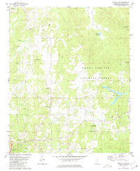 1980 Bagley Lake1981 Print · USGSLafayette County enters the 1980s as a landscape of timbered national forest and quiet rural crossroads. Genealogists can trace family footprints across numerous historic sites including Cedar Grove Cem, Jefferson Chapel, and the community of McLarty.
 - 1984 Map of Tupelo
 1984 Tupelo1984 Print · USGSNorth Mississippi in the 1980s is defined by its massive river basin reservoirs and the growing regional hubs of Tupelo and Oxford. Researchers can trace the legacy of the Pontotoc Ridge, find the University of Mississippi, and map early Interstate corridors near Sardis Lake.3 unique versions available
 - 1984 Map of Oxford, 1985 Print
 1984 Oxford1985 Print · USGSOxford and its surrounding hill country are captured in the mid-eighties as university life and rural industry intersected. Genealogists and historians can trace rail lines like the ST LOUIS-SAN FRANCISCO RY and locate old rural centers such as College Hill Sta and Lafayette Springs.
 - 1990 Map of Oxford, 1991 Print
 1990 Oxford1991 Print · USGSNorth Mississippi at the start of the nineties centers on the university town of Oxford and the large reservoirs of the Tallahatchie River valley. Researchers can trace the Illinois Central Gulf RR through towns like Water Valley and locate landmarks such as College Hill Sta.
 - 2000 Map of Bagley Lake, 2003 Print
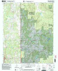 2000 Bagley Lake2003 Print · USGSLafayette County was characterized by vast forest research areas and established rural communities at the turn of the millennium. Genealogists and historians can trace family locations near Owens Cem, the Oxford Work Center, and several country sanctuaries like St Peters Ch.
 - 2012 Map of Bagley Lake, 2012 Print
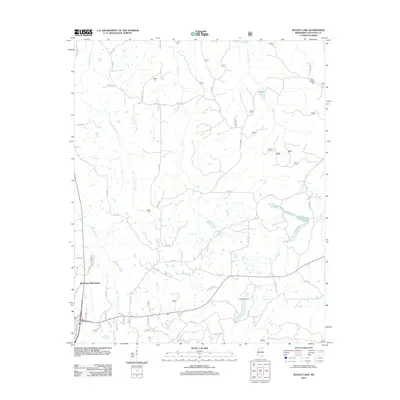 2012 Bagley Lake2012 Print · USGSThe hill country of Lafayette County in the early 2010s reveals a landscape of expanding residential tracts and deep-rooted rural landmarks. Genealogists can trace family connections at Owens Cem, Martin Cem, or Midway Cem while exploring the waters of Bagley Lake.
 - 2015 Map of Bagley Lake, 2015 Print
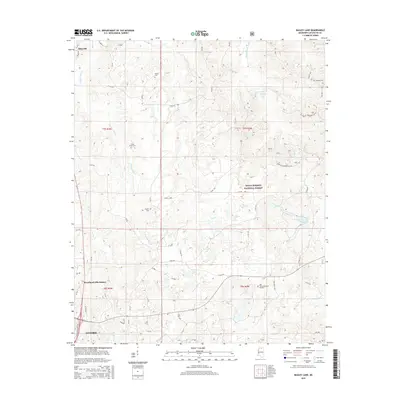 2015 Bagley Lake2015 Print · USGSNorth of Oxford during the mid-2010s, this area shows a landscape defined by the Holly Springs National Forest and the upper reaches of Yellow Leaf Creek. Local historians can trace family roots at Oak Grove Memorial Gardens, Cedar Grove Cem, and Martin Cem.
 - 2018 Map of Bagley Lake, 2018 Print
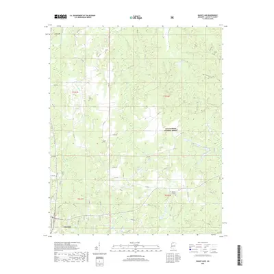 2018 Bagley Lake2018 Print · USGSLafayette County woodlands north of Oxford are shown here in the late twenty-teens, featuring the extensive timberlands of the Holly Springs National Forest. Researchers can find several remote burial sites such as Cedar Grove Cem, Martin Cem, and Midway Cem.
 - 2021 Map of Bagley Lake, 2021 Print
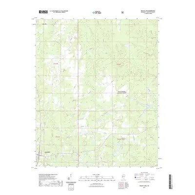 2021 Bagley Lake2021 Print · USGSLafayette County enters a new era of growth as the northern suburbs of Oxford reach toward the Holly Springs National Forest. Researchers can trace family history through numerous rural landmarks like Owens Cem, Cedar Grove Cem, and the community of Abbeville.
 - 2024 Map of Bagley Lake, 2024 Print
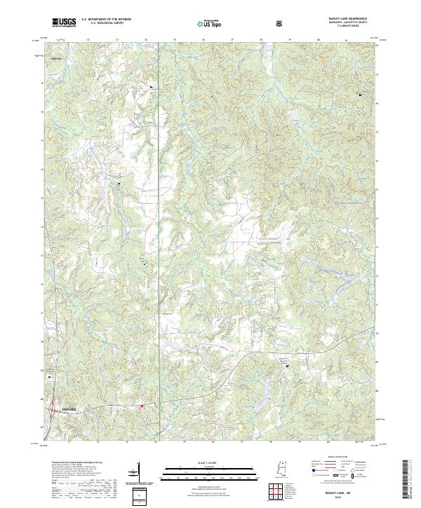 2024 Bagley Lake2024 Print · USGSLafayette County enters the mid-2020s with its rural cemeteries and forest boundaries preserved amidst the growth of the northern hill country. Researchers can trace family history at Owens Cem, Martin Cem, and Oak Grove Memorial Gardens near the edge of Oxford.
End of results
Showing maps 1-14 of 14
Top cities near Woodland Hills Estates
Frequently asked questions
- What are the different types of historical maps available for Woodland Hills Estates?
- What is the oldest map of Woodland Hills Estates?
- Where can I purchase historical maps of Woodland Hills Estates for my home or office?
- Where can I download high-res historical maps of Woodland Hills Estates?
- Are there historical topographic maps available for Woodland Hills Estates?
- Is there historical aerial imagery available for Woodland Hills Estates?
- Where are historical maps of Woodland Hills Estates sourced from?