2000s (21st Century) Maps of Purvis, Mississippi
Explore 15 historic maps of Purvis from the 2000s (21st Century). These maps offer a rare glimpse into what life looked like during the 2000s — showing old roads, neighborhoods, homes, and landmarks that have changed or disappeared over time.
Whether you're researching your family's past, planning a metal detecting trip, or studying how Purvis's landscape evolved across the 2000s, these high-resolution maps are a powerful tool for exploring the history of this region.
- Focus on a specific era: All maps on this page are from the 2000s, giving you a focused view of this time period.
- See what’s changed: Compare century-old streets, trails, and buildings to today's modern landscape using overlays and satellite layers.
- Research with precision: Use these maps for genealogy, historical research, land use analysis, or educational projects.
- View, download, or print: Maps are fully viewable online in high resolution, and can be downloaded or printed for your own records.
Start exploring Purvis's history through authentic maps from the 2000s. This is your window into the past.
Purvis, MS maps
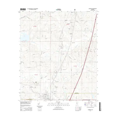
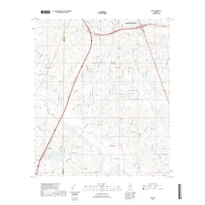
(15)- 2012 Map of Purvis, 2012 Print
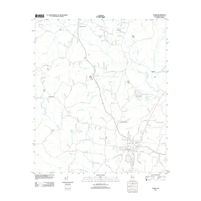 2012 Purvis2012 Print · USGSCovers Purvis, including Pine Grove, Pine Ridge, and other nearby areas
 - 2012 Map of Lumberton, 2012 Print
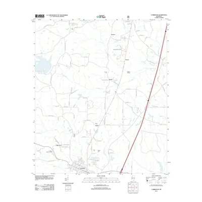 2012 Lumberton2012 Print · USGSCovers Purvis, including Harmon, Seneca, and other nearby areas
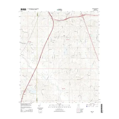
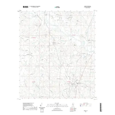
 - 2012 Map of Dixie, 2012 Print
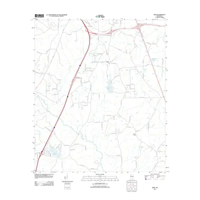 2012 Dixie2012 Print · USGSCovers Purvis, including Hattiesburg, Dixie, and other nearby areas
 - 2015 Map of Purvis, 2015 Print
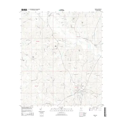 2015 Purvis2015 Print · USGSCovers Purvis, including Pine Grove, Pine Ridge, and other nearby areas
 - 2015 Map of Lumberton, 2015 Print
 2015 Lumberton2015 Print · USGSCovers Purvis, including Harmon, Seneca, and other nearby areas
 - 2015 Map of Dixie, 2015 Print
 2015 Dixie2015 Print · USGSCovers Purvis, including Hattiesburg, Dixie, and other nearby areas
 - 2018 Map of Purvis, 2018 Print
 2018 Purvis2018 Print · USGSCovers Purvis, including Pine Grove, Pine Ridge, and other nearby areas
 - 2018 Map of Lumberton, 2018 Print
 2018 Lumberton2018 Print · USGSCovers Purvis, including Harmon, Seneca, and other nearby areas
 - 2018 Map of Dixie, 2018 Print
 2018 Dixie2018 Print · USGSCovers Purvis, including Hattiesburg, Dixie, and other nearby areas
 - 2020 Map of Dixie, 2020 Print
 2020 Dixie2020 Print · USGSCovers Purvis, including Hattiesburg, Dixie, and other nearby areas
 - 2020 Map of Purvis, 2020 Print
 2020 Purvis2020 Print · USGSCovers Purvis, including Pine Grove, Pine Ridge, and other nearby areas
 - 2021 Map of Lumberton, 2021 Print
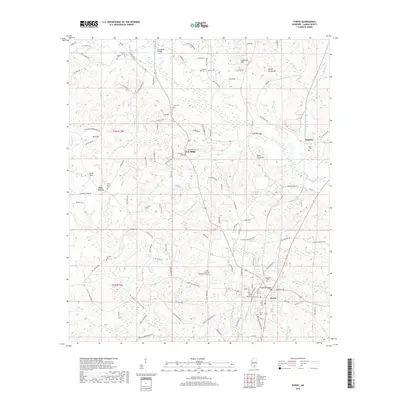
 2021 Lumberton2021 Print · USGSCovers Purvis, including Harmon, Seneca, and other nearby areas
 - 2024 Map of Dixie, 2024 Print
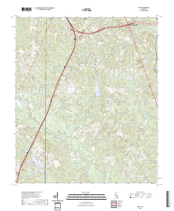 2024 Dixie2024 Print · USGSThe rural southern outskirts of Hattiesburg are captured in this modern survey of Forrest and Lamar counties. Researchers can pinpoint the Dixie Baptist Church and several community burial grounds including Clark Cem and Mineral Springs Cem among the local creek systems.
 - 2024 Map of Lumberton, 2024 Print
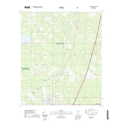
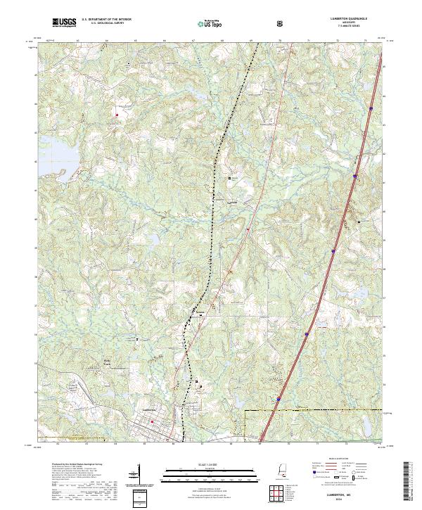 2024 Lumberton2024 Print · USGSLumberton and its rural surroundings in Lamar and Pearl River counties are shown here in modern detail. Genealogists can trace family names through sites like Samuel Slade Cem, Talowah, and the small settlement of Wells Town.
 - 2024 Map of Purvis, 2024 Print
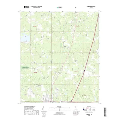
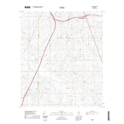
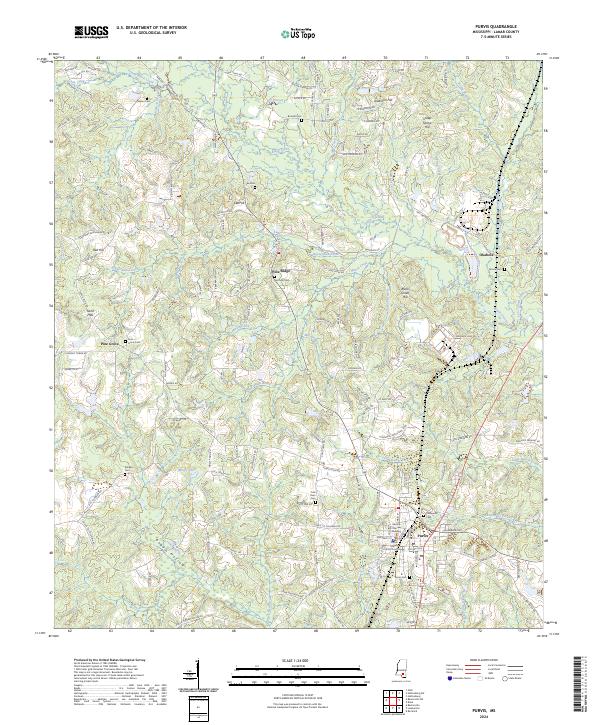 2024 Purvis2024 Print · USGSLamar County, Mississippi, is centered on the town of Purvis in the 2020s, showing a landscape defined by its timbered ridges and rural crossroads. Researchers can locate family landmarks like Hartfield Cem or trace the administrative hub around the Lamar County Circuit Courthouse.
End of results
Showing maps 1-15 of 15
Top cities near Purvis
Frequently asked questions
- What are the different types of historical maps available for Purvis?
- What is the oldest map of Purvis?
- Where can I purchase historical maps of Purvis for my home or office?
- Where can I download high-res historical maps of Purvis?
- Are there historical topographic maps available for Purvis?
- Is there historical aerial imagery available for Purvis?
- Where are historical maps of Purvis sourced from?