2024 Map of Dixie
USGS Topo · Published 2024About this map
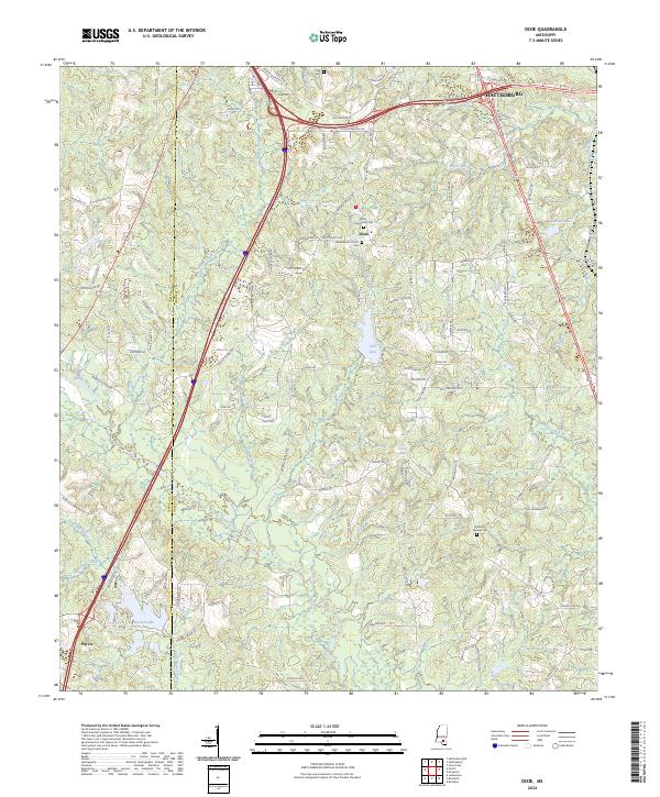
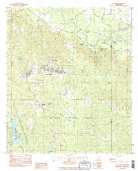
Dixie sits as a central settlement in southern Mississippi, characterized by a landscape defined by its numerous small lakes and creek systems. This modern survey illustrates the proximity of Hattiesburg to the north and Purvis to the southwest, connected by a network of well-established roads like Old Hwy 98 E and Browns Bridge Rd. The area maintains its community identity through landmarks like the Dixie Baptist Church and the Dixie Community Cem, while the terrain is divided by the Lamar and Forrest county line. For genealogists and local historians, the map provides precise locations for family-named sites such as Clark Cem and Mineral Springs Cem. The hydrological pattern is intricate, featuring bodies of water like Beaver Lake, Elks Lake, and Sumrall Lake which are fed by winding tributaries including Black Creek, Clear Creek, and Walls Creek.
Find a feature on this map
109 named features on this map. Tap any name to fly to it.
Don’t see what you’re looking for? This feature index may not catch every label — zoom into the map to look around manually.
Map Details
Editions of this 2024 Dixie Map
This is the sole edition of this map. No revisions or reprints were ever made.
Historical Maps of Purvis Through Time
15 maps found
1963 Rock Hill
Forrest County, MS
1964 Carterville
Forrest County, MS
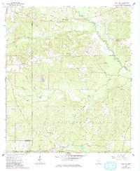
1965 Dixie
Forrest County, MS
1983 Brooklyn
Forrest County, MS
1983 Carnes
Forrest County, MS
1983 McLaurin
Forrest County, MS
2000 Brooklyn
Forrest County, MS
2000 Carnes
Forrest County, MS
2000 McLaurin
Forrest County, MS
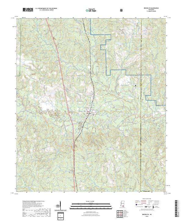
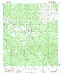
2024 Brooklyn
Forrest County, MS
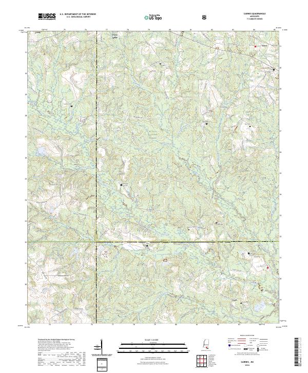
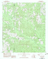
2024 Carnes
Forrest County, MS
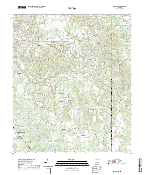
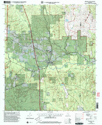
2024 Carterville
Forrest County, MS
2024 Dixie
Forrest County, MS
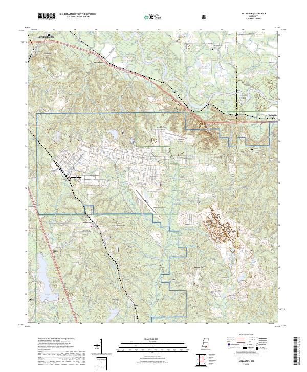
2024 McLaurin
Forrest County, MS
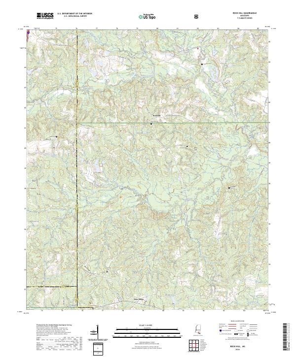
2024 Rock Hill
Forrest County, MS