Old Maps of Vimville, Mississippi
Explore 12 old maps of Vimville, spanning from 1921 to today. These high-resolution historic maps reveal how streets, neighborhoods, landmarks, and natural features evolved over time — perfect for genealogy, metal detecting, research, and local history exploration.
What you can do with these maps:
- See how Vimville changed over time: Compare historical maps to modern-day views to trace roads, homesites, rail lines & more.
- View detailed metadata: Each map includes creators, publishers, year, scale, and archive source.
- Overlay maps with satellite & LiDAR: Visualize the past alongside modern tools to explore terrain & human change.
- Trusted historical sources: Maps sourced from the USGS, Library of Congress, and other archives.
- Access maps your way: View online, download high-res files, or order prints for personal or research use.
Start exploring old maps of Vimville to uncover forgotten places, hidden landmarks, and the deep history beneath your feet.
Vimville, MS maps
(12)- 1921 Map of Meridian
 1921 Meridian1921 Print · USGSMeridian and Lauderdale County thrive as a major railroad hub in the early twenties. Researchers can trace family sites and community landmarks like Magnolia White Place, Knox Mill, and Cokers Chapel.4 unique versions available
 - 1923 Map of Meridian
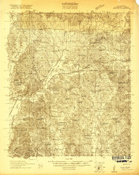
 1923 Meridian1923 Print · USGSMeridian emerged as a critical Mississippi rail junction in the early 1920s, anchoring a network of lines that fueled the local economy. Researchers can trace dozens of country landmarks, from Old Marion Cemetery to rural hubs like Garretts Store and Vimville.2 unique versions available
 - 1953 Map of Meridian, 1966 Print
 1953 Meridian1966 Print · USGSEast Central Mississippi and the Alabama borderlands are captured here during a period of steady growth and infrastructure expansion. Genealogists and historians can trace rail-town development along the Gulf Mobile & Ohio Railroad and find early settlements like Scooba, Pelahatchie, and De Kalb.2 unique versions available
 - 1957 Map of Meridian
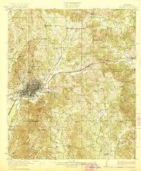
 1957 Meridian1957 Print · USGSEast Central Mississippi and parts of Western Alabama come alive in the mid-1950s, centered on the transit hub of Meridian. Researchers can trace old rail lines like the Illinois Central and find historic sites such as the Choctaw Indian Reservation and Roosevelt State Park.
 - 1965 Map of Meridian
 1965 Meridian1965 Print · USGSEast Mississippi and West Alabama are mapped here in the mid-sixties as the region's modern highway and reservoir systems began to take shape. Researchers can trace rural lineages through local landmarks like Prince Chapel and Tuscahoma Landing, or follow the historic Gulf Mobile & Ohio rail lines.
 - 1971 Map of Vimville, 1973 Print
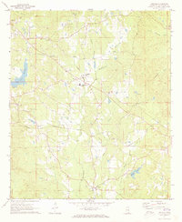 1971 Vimville1973 Print · USGSThe rolling terrain of Lauderdale County comes alive in the early seventies, showing a landscape of rural schools and creek-side settlements. Genealogists can trace family landmarks like Causeyville Ch & Cem, Shamburger Cem, and the community of Vimville.
 - 1984 Map of Meridian
 1984 Meridian1984 Print · USGSEastern Mississippi and Western Alabama come alive in the mid-1980s, showing the expansion of Meridian and the surrounding timber and river lands. Genealogists and researchers can trace family landmarks like Memorial Park Cem, the Pine Springs church, and the rural roads near Kewanee.3 unique versions available
 - 2012 Map of Vimville, 2012 Print
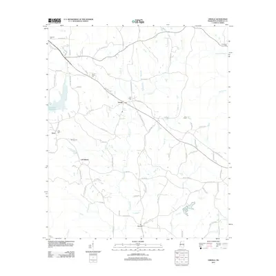 2012 Vimville2012 Print · USGSCovers Vimville, including Meridian, Cliff Williams, and other nearby areas
 - 2015 Map of Vimville, 2015 Print
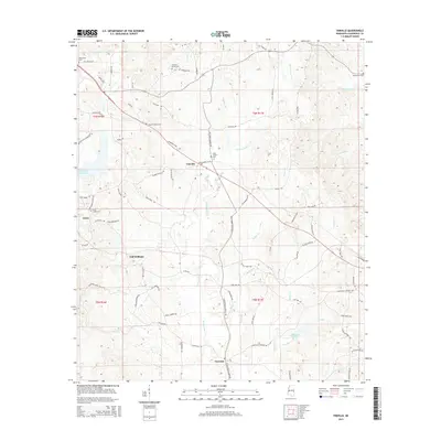 2015 Vimville2015 Print · USGSCovers Vimville, including Meridian, Cliff Williams, and other nearby areas
 - 2018 Map of Vimville, 2018 Print
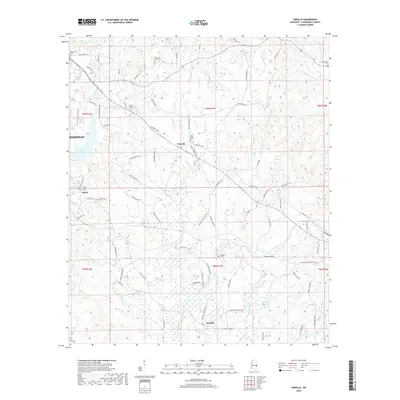 2018 Vimville2018 Print · USGSCovers Vimville, including Meridian, Cliff Williams, and other nearby areas
 - 2020 Map of Vimville, 2020 Print
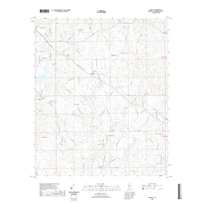 2020 Vimville2020 Print · USGSCovers Vimville, including Meridian, Cliff Williams, and other nearby areas
 - 2024 Map of Vimville, 2024 Print
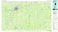
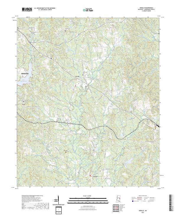 2024 Vimville2024 Print · USGSLauderdale County east of Meridian is documented here in the early 2020s, showing a landscape of small settlements and creeks. Researchers can locate community landmarks such as Vimville, Coker Chapel Cem, and the headwaters of Buckatunna Creek.
End of results
Showing maps 1-12 of 12
Top cities near Vimville
- Meridian historical maps
- Marion historical maps
- Stonewall historical maps
- Enterprise historical maps
- Cuba historical maps
Frequently asked questions
- What are the different types of historical maps available for Vimville?
- What is the oldest map of Vimville?
- Where can I purchase historical maps of Vimville for my home or office?
- Where can I download high-res historical maps of Vimville?
- Are there historical topographic maps available for Vimville?
- Is there historical aerial imagery available for Vimville?
- Where are historical maps of Vimville sourced from?