
1921 Map of Meridian
USGS Topo · Published 1921About this map
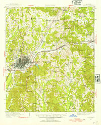
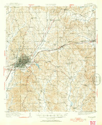
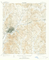
Meridian serves as the bustling rail center of Lauderdale County in the early 1920s, defined by the convergence of the Southern Railway, Alabama and Vicksburg RR, and the New Orleans and Northeastern RR. Beyond the city's structured grid, the landscape transitions into a network of rural settlements and family-named landmarks like Magnolia White Place and Jackson Store. Significant institutional sites are prominent, including the East Mississippi Insane Asylum, Meridian College, and the Sanitarium near the County Home.
Find a feature on this map
102 named features on this map. Tap any name to fly to it.
Don’t see what you’re looking for? This feature index may not catch every label — zoom into the map to look around manually.
Map Details
Editions of this 1921 Meridian Map
4 editions found
Other maps of this area

1923 · Meridian
USGS Topo · 1:62,500

1953 · Meridian
USGS Topo · 1:250,000

1957 · Meridian
USGS Topo · 1:250,000

1957 · Chunky
USGS Topo · 1:62,500

1957 · Quitman
USGS Topo · 1:62,500

1957 · Enterprise
USGS Topo · 1:62,500

1962 · Daleville
USGS Topo · 1:24,000

1962 · Lauderdale
USGS Topo · 1:24,000

1962 · Center Hill
USGS Topo · 1:24,000

1965 · Meridian
USGS Topo · 1:250,000