Loading...
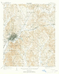
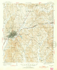
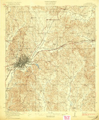
Loading map...1921 Map of Meridian
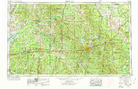
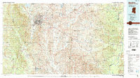
USGS Topo · Published 1965About this map
Meridian dominates this landscape as a bustling regional rail hub in the early 1920s, where the Mobile and Ohio RR and Alabama Great Southern RR converge. This industrial and social center is defined by institutional landmarks such as the East Mississippi Insane Asylum, Meridian College, and the Sanitarium. Beyond the urban grid, the topography rises toward Mt Barton and Poplar Springs, giving way to a network of rural communities anchored by family-named hubs like Herveys Store, Jacksons Store, and Jones Mill.
Find a feature on this map
87 named features on this map. Tap any name to fly to it.
Don’t see what you’re looking for? This feature index may not catch every label — zoom into the map to look around manually.
Map Details
Date Portrayed1921
Date Published1965
PublisherU.S. Geological Survey
Map TypeTopographic
Scale1:62,500
Physical Dimensions16.9 x 20.8 inches
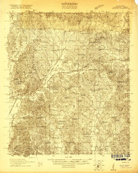
Editions of this 1921 Meridian Map
4 editions found
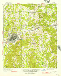
Historical Maps of Meridian Through Time
6 maps found


Featured Locations
Source Details
SourceU.S. Geological Survey
CopyrightPublic Domain