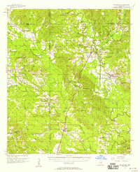
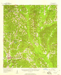
1957 Map of Enterprise
USGS Topo · Published 1958About this map
The Chickasawhay River and its major tributaries, including Okatibbee Creek and Pachuta Creek, form the central corridor of this east-central Mississippi landscape. During the late 1950s, the region was defined by a dense network of country churches and small rural centers connected by the Southern and Gulf Mobile and Ohio railroads. Settlement patterns follow these rail lines, with Enterprise and Stonewall serving as primary hubs, the latter featuring its own Stonewall Sch.
Find a feature on this map
72 named features on this map. Tap any name to fly to it.
Don’t see what you’re looking for? This feature index may not catch every label — zoom into the map to look around manually.
Map Details
Editions of this 1957 Enterprise Map
This is the sole edition of this map. No revisions or reprints were ever made.
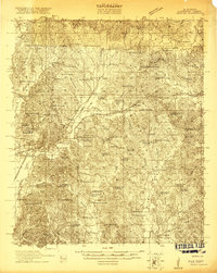
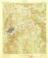
Other maps of this area
1921 · Meridian
USGS Topo · 1:48,000
1923 · Meridian
USGS Topo · 1:62,500

1953 · Hattiesburg
USGS Topo · 1:250,000

1953 · Meridian
USGS Topo · 1:250,000

1957 · Meridian
USGS Topo · 1:250,000
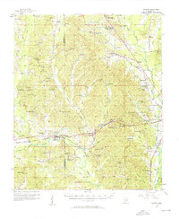
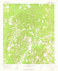
1957 · Chunky
USGS Topo · 1:62,500
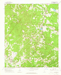
1957 · Quitman
USGS Topo · 1:62,500

1958 · Hattiesburg
USGS Topo · 1:250,000
1963 · Waldrup
USGS Topo · 1:24,000
1963 · Heidelberg
USGS Topo · 1:24,000