Old Maps of Pilgrim Rest, Mississippi for Metal Detecting
Plan your next treasure hunt with 12 historic maps of Pilgrim Rest. Find old homesites, ghost towns, trails, and gathering spots that may be lost to time — perfect for identifying promising metal detecting locations.
- Locate forgotten sites: Uncover places like long-lost settlements, abandoned rail lines, or gathering spots.
- Plan better hunts: Use map overlays combined with LiDAR or satellite views to narrow in on historically rich areas.
- Made for detectorists: Thousands of hobbyists use these maps to discover relics, coins, and hidden history.
Use these historic maps to boost your research and find new opportunities beneath the surface of Pilgrim Rest.
Pilgrim Rest, MS maps
(12)- 1953 Map of Meridian, 1966 Print
 1953 Meridian1966 Print · USGSEast Central Mississippi and the Alabama borderlands are captured here during a period of steady growth and infrastructure expansion. Genealogists and historians can trace rail-town development along the Gulf Mobile & Ohio Railroad and find early settlements like Scooba, Pelahatchie, and De Kalb.2 unique versions available
 - 1957 Map of Meridian
 1957 Meridian1957 Print · USGSEast Central Mississippi and parts of Western Alabama come alive in the mid-1950s, centered on the transit hub of Meridian. Researchers can trace old rail lines like the Illinois Central and find historic sites such as the Choctaw Indian Reservation and Roosevelt State Park.
 - 1961 Map of Carthage, 1962 Print
 1961 Carthage1962 Print · USGSLeake County and the central Mississippi timberlands are captured here in the early sixties, showing the area as the Bienville National Forest and local rail lines defined the economy. Genealogists can trace family roots through numerous sites like Tribulation Cem, Free Mission Ch, and Ofahoma.3 unique versions available
 - 1965 Map of Meridian
 1965 Meridian1965 Print · USGSEast Mississippi and West Alabama are mapped here in the mid-sixties as the region's modern highway and reservoir systems began to take shape. Researchers can trace rural lineages through local landmarks like Prince Chapel and Tuscahoma Landing, or follow the historic Gulf Mobile & Ohio rail lines.
 - 1984 Map of Carthage
 1984 Carthage1984 Print · USGSLeake and Neshoba counties in the mid-1980s showcase a transition from the Government Hills to the dense Bienville National Forest. Genealogists and researchers can trace the historic Natchez Trace Parkway and local settlements like Plattsburg and Williamsville.
 - 1989 Map of Carthage
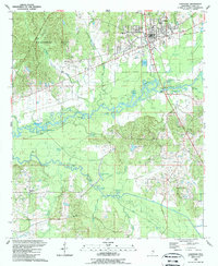 1989 Carthage1989 Print · USGSCarthage and the surrounding Leake County bottomlands are captured here in the late eighties as the town expanded toward the river. Genealogists and local historians can trace family-named sites like Piggtown, Good Hope, and rural landmarks such as Pilgrim Rest Ch.
 - 1994 Map of Carthage
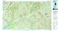 1994 Carthage1994 Print · USGSCentral Mississippi in the mid-nineties is a region of dense river bottoms and historic travel ways. Genealogists can trace family names and small-town roots across the Choctaw Indian Reservation or follow the path of the Natchez Trace Parkway past Carthage and Walnut Grove.
 - 2012 Map of Carthage, 2012 Print
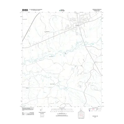 2012 Carthage2012 Print · USGSCarthage and the surrounding Leake County river bottoms are documented here in the early twenty-first century. Genealogists and local historians can trace family locations near Pilgrim Rest Cem, the community of Piggtown, and the banks of the Pearl River.
 - 2015 Map of Carthage, 2015 Print
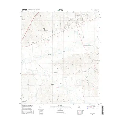 2015 Carthage2015 Print · USGSCarthage and the Pearl River valley appear in detail during the mid-2010s, showing the intersection of town life and the river bottomlands. Genealogists and local historians can locate rural landmarks like Pilgrim Rest Cem and settlements such as Tuckers Crossing or Piggtown.
 - 2018 Map of Carthage, 2018 Print
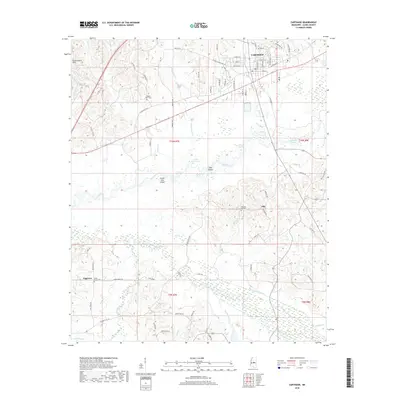 2018 Carthage2018 Print · USGSLeake County enters the late 2010s with its county seat and rural river communities captured in high detail. Genealogists and local historians can trace family locations near Piggtown, Cedar Grove Cem, and the winding Pearl River bottoms.
 - 2020 Map of Carthage, 2020 Print
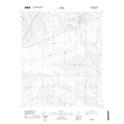 2020 Carthage2020 Print · USGSCarthage and the surrounding Leake County river lands are documented here in the early twenty-first century. Researchers can trace local genealogy and land use through features like the Leake County Courthouse, the settlement of Piggtown, and Pilgrim Rest Cem.
 - 2024 Map of Carthage, 2024 Print
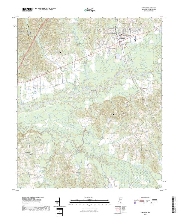 2024 Carthage2024 Print · USGSThe Pearl River and its intricate bayous define this part of Mississippi in the early twenty-first century. Researchers can trace local heritage through landmarks like McFaddens Ferry, the Leake County Courthouse, and the Pilgrim Rest MB Church Cem.
End of results
Showing maps 1-12 of 12
Top cities near Pilgrim Rest
Frequently asked questions
- What are the different types of historical maps available for Pilgrim Rest?
- What is the oldest map of Pilgrim Rest?
- Where can I purchase historical maps of Pilgrim Rest for my home or office?
- Where can I download high-res historical maps of Pilgrim Rest?
- Are there historical topographic maps available for Pilgrim Rest?
- Is there historical aerial imagery available for Pilgrim Rest?
- Where are historical maps of Pilgrim Rest sourced from?