2020s Maps of Greenwood, Mississippi
Explore 6 historic maps of Greenwood from the 2020s. These maps offer a rare glimpse into what life looked like during the 2020s — showing old roads, neighborhoods, homes, and landmarks that have changed or disappeared over time.
Whether you're researching your family's past, planning a metal detecting trip, or studying how Greenwood's landscape evolved across the 2020s, these high-resolution maps are a powerful tool for exploring the history of this region.
- Focus on a specific era: All maps on this page are from the 2020s, giving you a focused view of this time period.
- See what’s changed: Compare century-old streets, trails, and buildings to today's modern landscape using overlays and satellite layers.
- Research with precision: Use these maps for genealogy, historical research, land use analysis, or educational projects.
- View, download, or print: Maps are fully viewable online in high resolution, and can be downloaded or printed for your own records.
Start exploring Greenwood's history through authentic maps from the 2020s. This is your window into the past.
Greenwood, MS maps
(6)- 2020 Map of Greenwood, 2020 Print
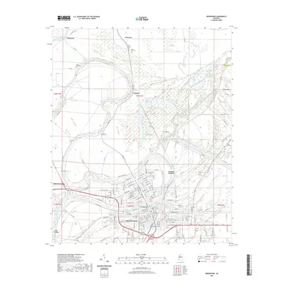 2020 Greenwood2020 Print · USGSCovers Greenwood, including Craigside, Wakeland, and other nearby areas
 - 2020 Map of Sidon, 2020 Print
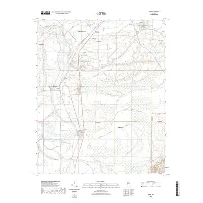 2020 Sidon2020 Print · USGSCovers Greenwood, including Sidon, Roebuck, and other nearby areas
 - 2020 Map of Shellmound, 2020 Print
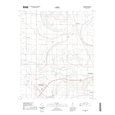 2020 Shellmound2020 Print · USGSCovers Greenwood, including Itta Bena, Shellmound, and other nearby areas
 - 2024 Map of Shellmound, 2024 Print
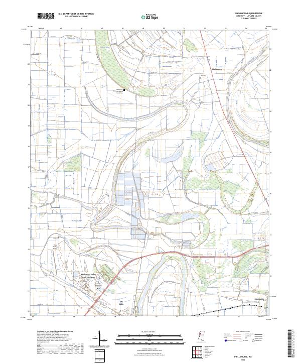 2024 Shellmound2024 Print · USGSThe Tallahatchie River winds through the Mississippi Delta near Itta Bena during the early twenty-first century. Genealogists and historians can locate Saint Paul Cem, the campus of Mississippi Valley State University, and Ashland Brake.
 - 2024 Map of Greenwood, 2024 Print
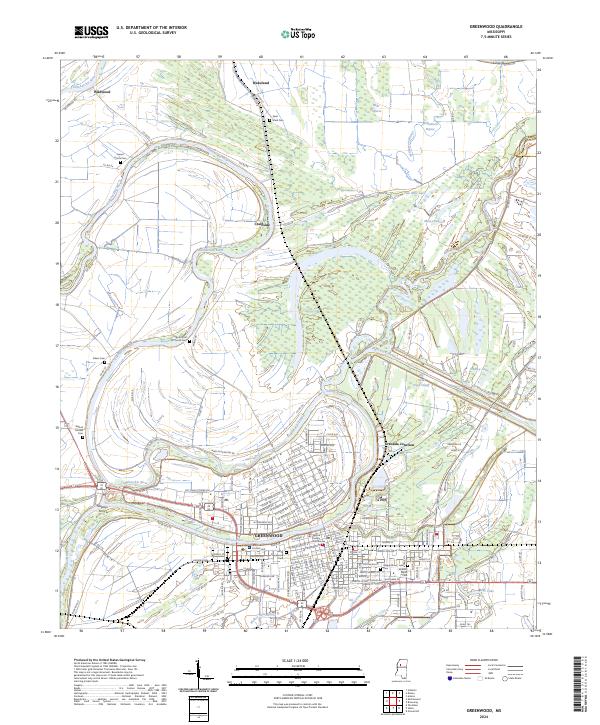 2024 Greenwood2024 Print · USGSThe Mississippi Delta's river-driven geography is on full display in this modern survey of the Greenwood area. Researchers can trace family history through numerous local sites like Little Zion M B Church Cem and Walnut Mound Cem.
 - 2024 Map of Sidon, 2024 Print
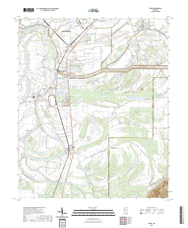 2024 Sidon2024 Print · USGSLeflore County's river-driven landscape is captured here in the contemporary era, showing the rural communities along the Yazoo River. Genealogists and historians can locate family burial sites at Ingleside Cem and O Dell Cem or trace the old river crossing at Murdocks Ferry.
End of results
Showing maps 1-6 of 6
Top cities near Greenwood
- Itta Bena historical maps
- Sidon historical maps
- Cruger historical maps
- Schlater historical maps
- Morgan City historical maps
Top neighborhoods of Greenwood
- Baptist Town historical maps
- Hayes Homes historical maps
- North Park historical maps
- Terrace View Apartments historical maps
Frequently asked questions
- What are the different types of historical maps available for Greenwood?
- What is the oldest map of Greenwood?
- Where can I purchase historical maps of Greenwood for my home or office?
- Where can I download high-res historical maps of Greenwood?
- Are there historical topographic maps available for Greenwood?
- Is there historical aerial imagery available for Greenwood?
- Where are historical maps of Greenwood sourced from?