Old Maps of Hatten, Mississippi for Genealogy
Trace your family roots with 14 historic maps of Hatten. These high-res maps reveal old neighborhoods, homesites, landmarks, and streets — helping you uncover where your ancestors lived and how the area evolved over time.
- Explore historic neighborhoods: Identify where your relatives may have lived in the 1800s or 1900s.
- Compare maps over time: Trace the changes in streets, buildings, and landmarks for multi-generational research.
- Perfect for genealogy & ancestry research: Used by family historians and researchers to map out lineage and migration.
These maps are an incredible resource for exploring your personal connection to Hatten's past.
Hatten, MS maps
(14)- 1932 Map of Philipp
 1932 Philipp1932 Print · USGSTallahatchie and Grenada counties in the early 1930s show a landscape shaped by river bends and the expansion of the rail network. Genealogists can trace family roots through numerous country schools and churches like Cowart Sch, Rosenwald Sch, and Jorden Hill Cem.4 unique versions available
 - 1935 Map of Philipp
 1935 Philipp1935 Print · USGSThe Mississippi Delta meets the bluff hills in the 1930s, revealing a landscape of winding bayous and railroad-line settlements. Genealogists can locate family landmarks like the Rosenwald Sch, Paynes Cem, and the river town of Locopolis.2 unique versions available
 - 1939 Map of Philipp, 1943 Print
 1939 Philipp1943 Print · USGSThe Tallahatchie River Delta is captured here in the decade before major postwar transformation, showing a landscape defined by bayous and small rural hubs. Local researchers can trace family roots through numerous churches and schools like St Mark Ch, Jones Chapel Sch, and the Tallahat Boy Scout Camp.
 - 1953 Map of Greenwood, 1966 Print
 1953 Greenwood1966 Print · USGSThe Mississippi Delta in the mid-fifties is captured here as a thriving network of river towns, railroads, and oxbow lakes. Researchers can trace the legacy of the Illinois Central Railroad and locate landmarks like the State Penal Farm and Greenville Air Force Base.5 unique versions available
 - 1956 Map of Greenwood
 1956 Greenwood1956 Print · USGSThe Mississippi Delta in the mid-fifties is captured here during a period of significant military and agricultural activity. Researchers can trace the rail lines of the Illinois Central RR, find the Greenville Air Force Base, or locate the State Penal Farm.
 - 1957 Map of Philipp
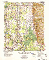 1957 Philipp1957 Print · USGSThe Tallahatchie River basin in the mid-fifties is a landscape of river cut-offs and rural crossroads settlements. Genealogists can trace family roots at St. Paul Sch Ch & Cem, Philipp, and the Needmore Cem along the Illinois Central line.3 unique versions available
 - 1974 Map of Philipp SW, 1975 Print
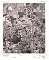 1974 Philipp SW1975 Print · USGSThe Mississippi Delta's alluvial landscape comes into focus in the mid-1970s, showing the deep agricultural roots of the region. Researchers can trace the winding course of the Tallahatchie River and its impact on the settlement patterns near Philipp.
 - 1981 Map of Philipp, 1982 Print
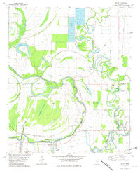 1981 Philipp1982 Print · USGSThe Mississippi Delta's winding waterways and rural settlements come into focus in the early 1980s. Genealogists can trace family sites at Eagle Plantation, Philipp, and several country churches like Jonas Chapel or Mt Calvary Ch.
 - 1983 Map of Greenwood
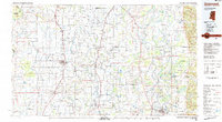 1983 Greenwood1983 Print · USGSThe Mississippi Delta in the early eighties shows a landscape of rail-connected towns and vast river systems. Genealogists and historians can trace family roots in towns like Mound Bayou, Ruleville, and the grounds of Mississippi Valley State University.
 - 2012 Map of Philipp, 2012 Print
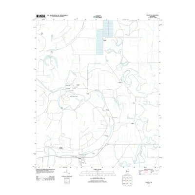 2012 Philipp2012 Print · USGSThe Tallahatchie River floodplain comes into sharp focus during the early twenty-first century, showing a landscape defined by water and delta history. Researchers can trace local heritage through numerous river landings like Blythes Landing and family landmarks such as Bethel Cem or Jones Chapel Cem.
 - 2015 Map of Philipp, 2015 Print
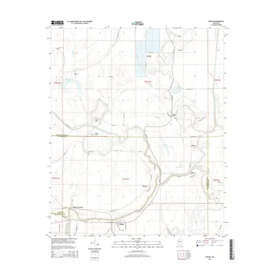 2015 Philipp2015 Print · USGSThe Delta lowlands of Tallahatchie and Leflore counties appear in high detail during the mid-2010s, showing a landscape defined by the Tallahatchie River. Researchers can trace old family sites and rural settlements like Sisloff Junction, Hatten, and Philipp.
 - 2018 Map of Philipp, 2018 Print
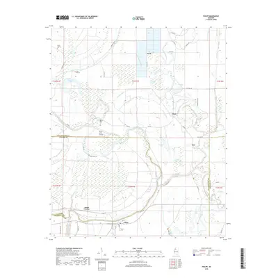 2018 Philipp2018 Print · USGSThe Mississippi Delta's complex river-and-bayou landscape is captured here in the late twenty-teens, spanning the border of Tallahatchie and Leflore counties. Researchers can trace rural lineages through the locations of Philipp, Mehr, and cemeteries like Bethel Cem or Jones Chapel Cem.
 - 2020 Map of Philipp, 2020 Print
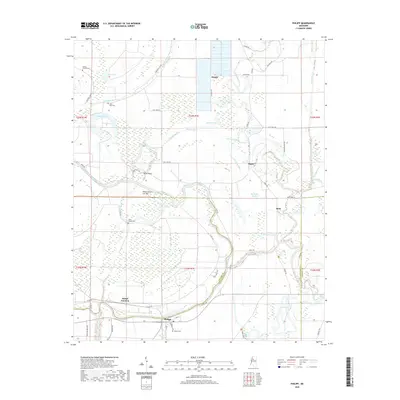 2020 Philipp2020 Print · USGSTallahatchie County's river-bottom lands are captured here in the early twenty-first century, showing the enduring rural character of the Delta. Genealogists and historians can trace local family roots through sites like Bethel Cem and the small settlements of Philipp and Mehr.
 - 2024 Map of Philipp, 2024 Print
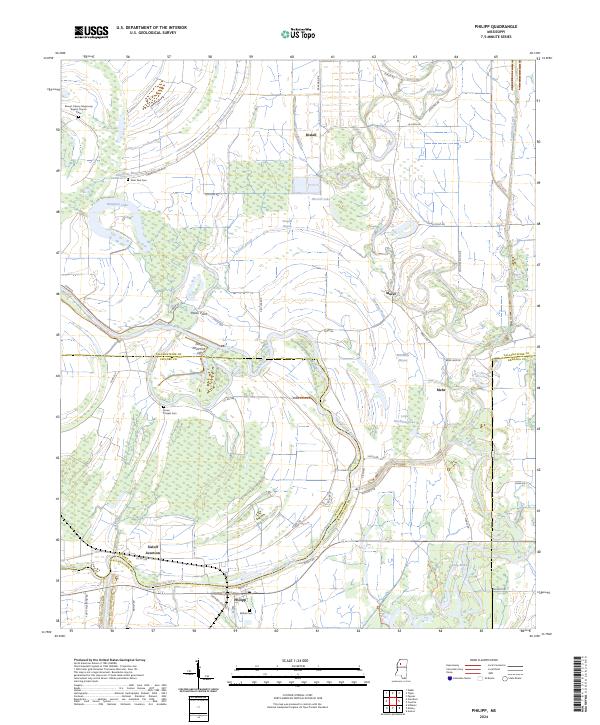 2024 Philipp2024 Print · USGSThe Mississippi Delta's winding waterways and small settlements are captured here in the 2020s. Researchers can trace family history at Bethel Cem and Jones Chapel Cem, or explore the riparian landscape around Philipp and the Tallahatchie River.
End of results
Showing maps 1-14 of 14
Top cities near Hatten
- Charleston historical maps
- Webb historical maps
- Sumner historical maps
- Schlater historical maps
- Glendora historical maps
Frequently asked questions
- What are the different types of historical maps available for Hatten?
- What is the oldest map of Hatten?
- Where can I purchase historical maps of Hatten for my home or office?
- Where can I download high-res historical maps of Hatten?
- Are there historical topographic maps available for Hatten?
- Is there historical aerial imagery available for Hatten?
- Where are historical maps of Hatten sourced from?