Old Maps of Brookhaven, Mississippi for Academic Research
Study the evolution of Brookhaven with 16 high-resolution historic maps. Whether you're teaching, researching, or modeling changes in land use, these maps provide essential visual documentation of urban, environmental, and geographic change.
- Analyze long-term change: Track patterns in development, transportation, and natural features.
- Ideal for environmental or urban studies: Support academic projects with primary historical map data.
- Use in the classroom or lab: Educators and researchers rely on these maps to bring historical context to life.
These maps are a powerful tool for teaching, research, and visualizing how Brookhaven has changed over the decades.
Brookhaven, MS maps
(16)- 1953 Map of Natchez, 1966 Print
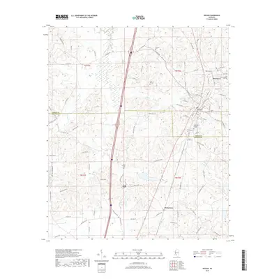
 1953 Natchez1966 Print · USGSSouthwest Mississippi and the Louisiana border country come alive in this mid-century survey of the river valley and forest lands. Researchers can trace the rail lines of the Illinois Central RR and locate rural hubs like Gloster and Ferriday.3 unique versions available
 - 1956 Map of Natchez
 1956 Natchez1956 Print · USGSThe Mississippi River borderlands and the Pine Hills come alive in this mid-fifties study of the Natchez region. Genealogists and historians can trace rail-era towns along the Illinois Central RR and explore the oxbows of Lake Bruin and Lake Concordia.
 - 1959 Map of Natchez
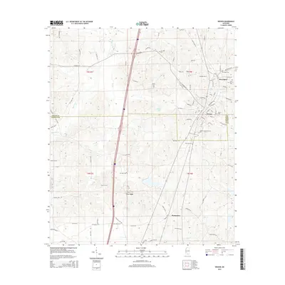
 1959 Natchez1959 Print · USGSSouthwestern Mississippi and eastern Louisiana are captured in the late fifties, showing a landscape defined by the winding Mississippi River and the timbered Homochitto National Forest. Researchers can trace the sprawling Illinois Central RR and find rural landmarks like Union Church and Camp Van Dorn (Abandoned).
 - 1972 Map of Brookhaven, 1974 Print
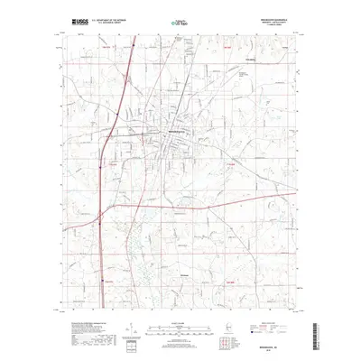
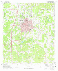 1972 Brookhaven1974 Print · USGSBrookhaven and its surrounding Lincoln County landscape appear here in the early seventies, caught between its rail-hub heritage and modern growth. Researchers can trace family sites from Rose Hill Cemetery to Whitworth College and locate rural landmarks like Lacks Chapel.2 unique versions available
 - 1972 Map of Wesson, 1974 Print
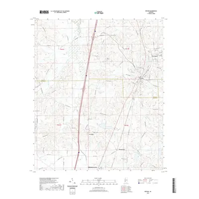
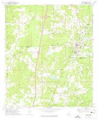 1972 Wesson1974 Print · USGSThe town of Wesson and the neighboring village of Beauregard are captured in the early 1970s as the regional rail economy transitioned. Local historians can trace the Indian Treaty Boundary and locate landmarks like Copiah Lincoln Jr College and Mathews Chapel.2 unique versions available
 - 1984 Map of Brookhaven
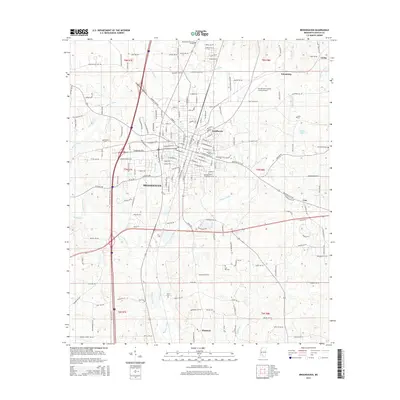
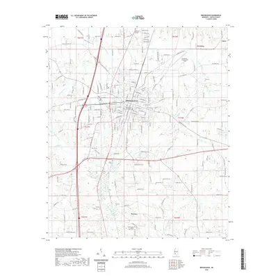
 1984 Brookhaven1984 Print · USGSSouth-central Mississippi's rural character and rail-centered commerce are shown here in the mid-eighties, from the Homochitto woods to the Pearl River. Trace local roots through Union Church, Meadows Store, and the campus of Copiah-Lincoln Jr College.2 unique versions available
 - 2012 Map of Wesson, 2012 Print
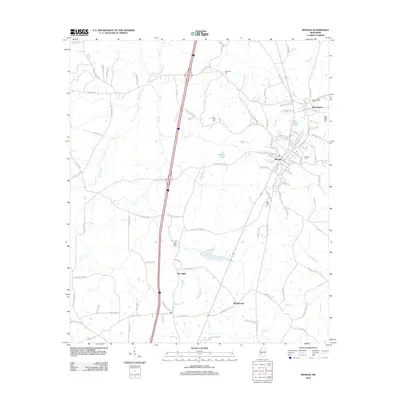 2012 Wesson2012 Print · USGSCovers Brookhaven, including Wesson, Beauregard, and other nearby areas
 - 2012 Map of Brookhaven, 2012 Print
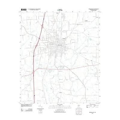 2012 Brookhaven2012 Print · USGSCovers Brookhaven, including Pearlhaven, Friendship, and other nearby areas
 - 2015 Map of Wesson, 2015 Print
 2015 Wesson2015 Print · USGSCovers Brookhaven, including Wesson, Beauregard, and other nearby areas
 - 2015 Map of Brookhaven, 2015 Print
 2015 Brookhaven2015 Print · USGSCovers Brookhaven, including Pearlhaven, Friendship, and other nearby areas
 - 2018 Map of Brookhaven, 2018 Print
 2018 Brookhaven2018 Print · USGSCovers Brookhaven, including Pearlhaven, Friendship, and other nearby areas
 - 2018 Map of Wesson, 2018 Print
 2018 Wesson2018 Print · USGSCovers Brookhaven, including Wesson, Beauregard, and other nearby areas
 - 2020 Map of Brookhaven, 2020 Print
 2020 Brookhaven2020 Print · USGSCovers Brookhaven, including Pearlhaven, Friendship, and other nearby areas
 - 2020 Map of Wesson, 2020 Print
 2020 Wesson2020 Print · USGSCovers Brookhaven, including Wesson, Beauregard, and other nearby areas
 - 2024 Map of Brookhaven, 2024 Print
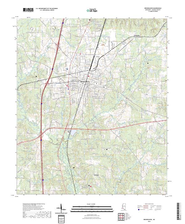 2024 Brookhaven2024 Print · USGSBrookhaven and its surrounding Lincoln County countryside are documented here in the early twenty-first century. Genealogists and researchers can locate numerous family burial sites such as Rose Hill Cem and Zion Hill Cem, or trace the path of the Canadian National RR.
 - 2024 Map of Wesson, 2024 Print
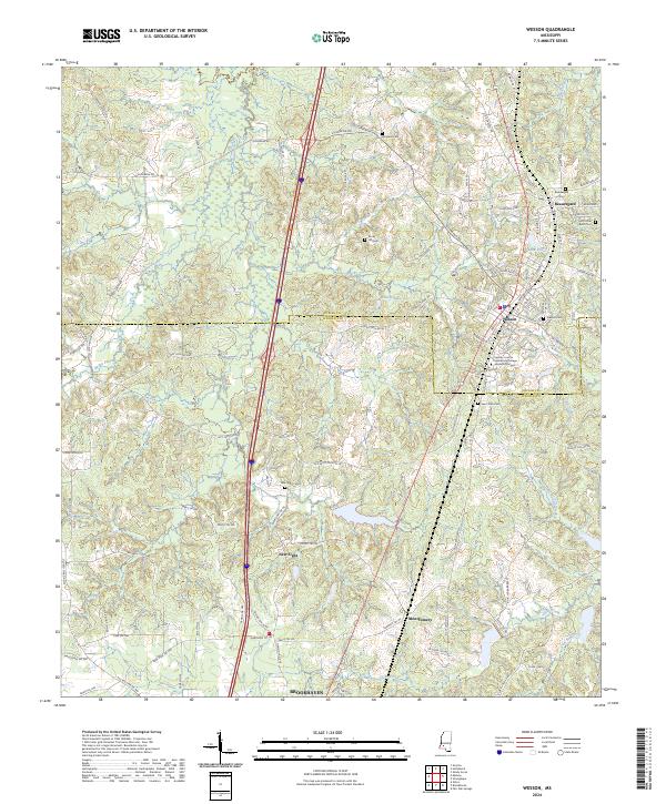 2024 Wesson2024 Print · USGSThe borderlands of Copiah and Lincoln counties come into focus in this contemporary survey of the Wesson area. Genealogists and local historians can locate many rural landmarks including Saint Peter Rock Cem, New Sight, and Rocky Hill Cem.
End of results
Showing maps 1-16 of 16
Top cities near Brookhaven
Top neighborhoods of Brookhaven
Frequently asked questions
- What are the different types of historical maps available for Brookhaven?
- What is the oldest map of Brookhaven?
- Where can I purchase historical maps of Brookhaven for my home or office?
- Where can I download high-res historical maps of Brookhaven?
- Are there historical topographic maps available for Brookhaven?
- Is there historical aerial imagery available for Brookhaven?
- Where are historical maps of Brookhaven sourced from?