Old Maps of Wilkinson, Mississippi for Hiking & Exploration
Hike through history with 11 historic maps of Wilkinson. Explore old trails, ghost towns, and forgotten backroads — perfect for outdoor adventurers and local explorers.
- Rediscover forgotten places: Map out old mining camps, roads, and footpaths that no longer exist on modern maps.
- Layer with modern tools: Combine with LiDAR or satellite views to plan hikes through historical terrain.
- Made for exploration: Popular among hikers, overlanders, and local history lovers.
Use these maps to find adventure and explore the hidden past of Wilkinson.
Wilkinson, MS maps
(11)- 1953 Map of Natchez, 1966 Print
 1953 Natchez1966 Print · USGSSouthwest Mississippi and the Louisiana border country come alive in this mid-century survey of the river valley and forest lands. Researchers can trace the rail lines of the Illinois Central RR and locate rural hubs like Gloster and Ferriday.3 unique versions available
 - 1956 Map of Natchez
 1956 Natchez1956 Print · USGSThe Mississippi River borderlands and the Pine Hills come alive in this mid-fifties study of the Natchez region. Genealogists and historians can trace rail-era towns along the Illinois Central RR and explore the oxbows of Lake Bruin and Lake Concordia.
 - 1959 Map of Natchez
 1959 Natchez1959 Print · USGSSouthwestern Mississippi and eastern Louisiana are captured in the late fifties, showing a landscape defined by the winding Mississippi River and the timbered Homochitto National Forest. Researchers can trace the sprawling Illinois Central RR and find rural landmarks like Union Church and Camp Van Dorn (Abandoned).
 - 1972 Map of Bogue Chitto, 1974 Print
 1972 Bogue Chitto1974 Print · USGSLincoln County’s rail and oil corridors are in full view during the early 1970s, centered on the historic timber and rail hub of Bogue Chitto. Researchers can trace local genealogy through numerous rural landmarks like Stewarts Cem, Norfield, and the Mallalieu Oil Field.2 unique versions available
 - 1984 Map of McComb
 1984 McComb1984 Print · USGSSouth Mississippi in the mid-eighties was defined by the rail corridor connecting McComb and Magnolia to the surrounding timberlands. You can trace the rural network of Pike County through landmarks like Holmesville, Percy Quin State Park, and the winding Bogue Chitto.
 - 1994 Map of McComb
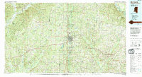 1994 McComb1994 Print · USGSSouthern Mississippi's rail-and-timber country is documented here in the early nineties as the region balanced its industrial corridors with vast forest preserves. Genealogists can trace hundreds of family-named rural landmarks, from Holmesville and Chatawa to the historic Zion Hill Ch.
 - 2012 Map of Bogue Chitto, 2012 Print
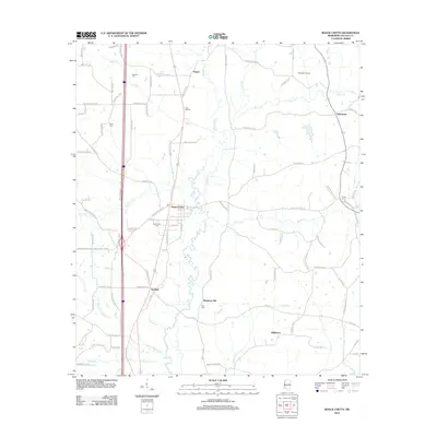 2012 Bogue Chitto2012 Print · USGSMississippi's Lincoln County is documented here in the early twenty-first century, showing the established communities and petroleum interests of the region. Researchers can locate ancestral sites at Stewarts Cem or Missionary Cem and trace the rural reaches of Norfield and Blueberry Hill.
 - 2015 Map of Bogue Chitto, 2015 Print
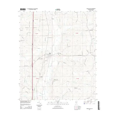 2015 Bogue Chitto2015 Print · USGSLincoln County at the start of the 2010s reveals a landscape of enduring rural communities and complex creek systems. Genealogists and local historians can trace family roots through several key sites including Missionary Cem, Norfield, and the town of Bogue Chitto.
 - 2018 Map of Bogue Chitto, 2018 Print
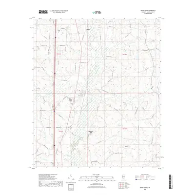 2018 Bogue Chitto2018 Print · USGSLincoln County as it appeared in 2018 shows a landscape of deep-rooted settlements and quiet waterways like the Bogue Chitto. Genealogists and local historians can trace family locations through Missionary Cem, Price Cem, and the communities of Norfield and Blueberry Hill.
 - 2020 Map of Bogue Chitto, 2020 Print
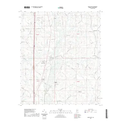 2020 Bogue Chitto2020 Print · USGSLincoln County at the start of the 2020s shows a landscape of established creek-side settlements and rural crossroads. Researchers can locate family landmarks like Missionary Cem and Price Cem or trace the early paths of Bogue Chitto and Norfield.
 - 2024 Map of Bogue Chitto, 2024 Print
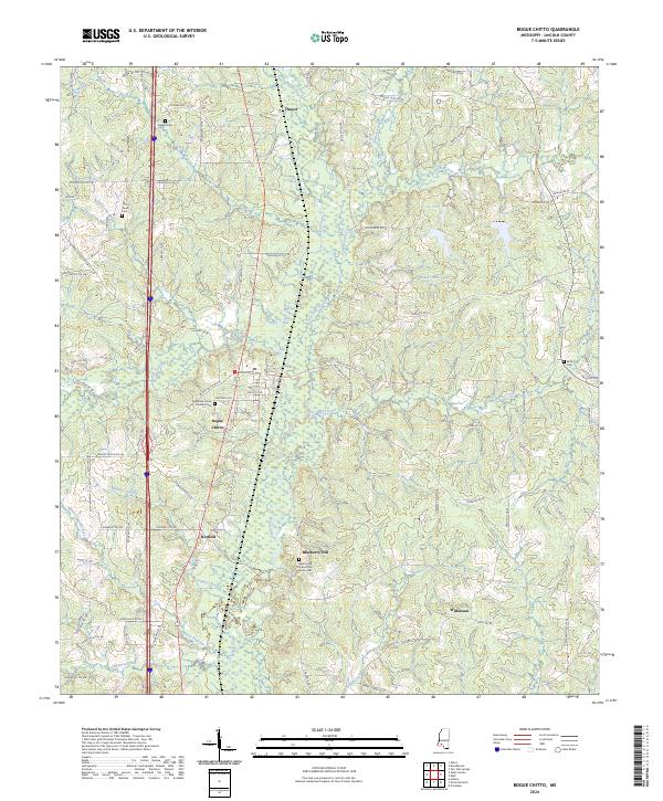 2024 Bogue Chitto2024 Print · USGSThe Bogue Chitto river valley in southern Mississippi remains a landscape of small rural settlements and family homesteads. Genealogists can trace local heritage through numerous family burial sites, including the Stewart Cem and the Robert and James Price Family Cem.
End of results
Showing maps 1-11 of 11
Top cities near Wilkinson
Frequently asked questions
- What are the different types of historical maps available for Wilkinson?
- What is the oldest map of Wilkinson?
- Where can I purchase historical maps of Wilkinson for my home or office?
- Where can I download high-res historical maps of Wilkinson?
- Are there historical topographic maps available for Wilkinson?
- Is there historical aerial imagery available for Wilkinson?
- Where are historical maps of Wilkinson sourced from?