1900s (20th Century) Maps of Columbus, Mississippi
Explore 11 historic maps of Columbus from the 1900s (20th Century). These maps offer a rare glimpse into what life looked like during the 1900s — showing old roads, neighborhoods, homes, and landmarks that have changed or disappeared over time.
Whether you're researching your family's past, planning a metal detecting trip, or studying how Columbus's landscape evolved across the 1900s, these high-resolution maps are a powerful tool for exploring the history of this region.
- Focus on a specific era: All maps on this page are from the 1900s, giving you a focused view of this time period.
- See what’s changed: Compare century-old streets, trails, and buildings to today's modern landscape using overlays and satellite layers.
- Research with precision: Use these maps for genealogy, historical research, land use analysis, or educational projects.
- View, download, or print: Maps are fully viewable online in high resolution, and can be downloaded or printed for your own records.
Start exploring Columbus's history through authentic maps from the 1900s. This is your window into the past.
Columbus, MS maps
(11)- 1953 Map of West Point, 1973 Print
 1953 West Point1973 Print · USGSNorth-Central Mississippi and the Alabama borderlands are captured here during the mid-twentieth century as new reservoirs and national forests transformed the landscape. Researchers can trace the path of the Mississippi & Skuna Valley railroad or locate old landings along the Tombigbee River and Schooner Creek.3 unique versions available
 - 1958 Map of West Point
 1958 West Point1958 Print · USGSNortheastern Mississippi and western Alabama are shown in the late 1950s, highlighting a region defined by its river-and-rail economy. Researchers can trace family roots through numerous settlements like Artesia and Vardaman or explore the corridor of the Tombigbee River.
 - 1960 Map of Caledonia, 1961 Print
 1960 Caledonia1961 Print · USGSThe Mississippi-Alabama borderlands in the early sixties reveal a landscape of growing military bases and traditional river commerce. Trace family roots through rural landmarks like Anderson Grove Sch, Waverly Ferry, and the rail lines serving Steens.2 unique versions available
 - 1960 Map of Columbus, 1961 Print
 1960 Columbus1961 Print · USGSThe Tombigbee River valley at the start of the 1960s shows a landscape of river-bend farms and rural communities centered around family churches and schools. Researchers can trace historic river crossings like the Nashville Ferry or locate ancestral sites at St Mathis Cem and Plum Grove Sch.2 unique versions available
 - 1963 Map of West Point
 1963 West Point1963 Print · USGSEastern Mississippi and western Alabama are captured in the early sixties as industrial centers and rail lines connected the Black Prairie to the hills. Genealogists and historians can trace family-named watercourses and the early footprints of Starkville, Columbus, and the Noxubee National Wildlife Refuge.2 unique versions available
 - 1982 Map of West Point, 1983 Print
 1982 West Point1983 Print · USGSEastern Mississippi and western Alabama are captured in the early eighties as the river-and-rail economy evolved. Trace family roots and old township lines near West Point, Columbus Air Force Base, and the historic Natchez Trace Parkway.
 - 1984 Map of West Point
 1984 West Point1984 Print · USGSNorth-Central Mississippi in the mid-eighties shows a landscape defined by massive water management projects and dense timberlands. Researchers can trace the legacy of rural settlements like Geeslin Corner or the rail corridors of the Illinois Central Gulf RR near Grenada Lake.3 unique versions available
 - 1987 Map of Columbus North
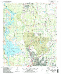 1987 Columbus North1987 Print · USGSNorthern Mississippi in the late eighties shows the rise of major water projects and military infrastructure. Trace the early layout of Columbus near the Columbus Air Force Base and historic churches like Antioch Ch.2 unique versions available
 - 1987 Map of Columbus South
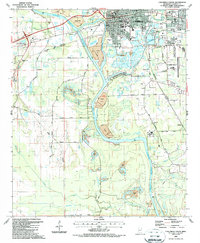 1987 Columbus South1987 Print · USGSColumbus and its southern reaches in the mid-1980s show a landscape shaped by the Tennessee Tombigbee Waterway and expanding industry. Genealogists and local historians can trace rural schools and landmarks like St Paul Ch, Yorkville, and Friendship Cem.2 unique versions available
 - 1987 Map of New Hope
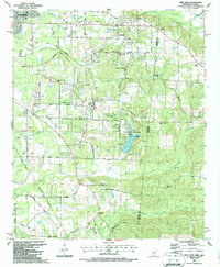 1987 New Hope1987 Print · USGSThe Mississippi-Alabama borderlands in the late eighties show a landscape of rural communities and industrial pockets. Trace local family roots through numerous landmarks like Beersheba Cumberland Ch, Marrshs Chapel, and the Abandoned Landing Field.
 - 1987 Map of Steens
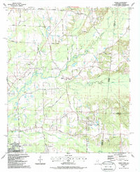 1987 Steens1987 Print · USGSSteens and the surrounding Lowndes County borderlands are shown in the late eighties as a landscape of rural churches and winding creeks. Genealogists can trace family landmarks like Anderson Grove Sch, New Zion Ch, and Piney Grove Cem along the Southern Railway.
End of results
Showing maps 1-11 of 11
Top cities near Columbus
- West Point historical maps
- Caledonia historical maps
- Crawford historical maps
- Artesia historical maps
- Macedonia historical maps
- Ethelsville historical maps
Top neighborhoods of Columbus
- Bluecutt Estates historical maps
- Briarwood historical maps
- Cresent Estates historical maps
- Fox Run historical maps
- Fox Run Colony historical maps
- Holly Hills historical maps
See more
Frequently asked questions
- What are the different types of historical maps available for Columbus?
- What is the oldest map of Columbus?
- Where can I purchase historical maps of Columbus for my home or office?
- Where can I download high-res historical maps of Columbus?
- Are there historical topographic maps available for Columbus?
- Is there historical aerial imagery available for Columbus?
- Where are historical maps of Columbus sourced from?