2000s (21st Century) Maps of Canton, Mississippi
Explore 20 historic maps of Canton from the 2000s (21st Century). These maps offer a rare glimpse into what life looked like during the 2000s — showing old roads, neighborhoods, homes, and landmarks that have changed or disappeared over time.
Whether you're researching your family's past, planning a metal detecting trip, or studying how Canton's landscape evolved across the 2000s, these high-resolution maps are a powerful tool for exploring the history of this region.
- Focus on a specific era: All maps on this page are from the 2000s, giving you a focused view of this time period.
- See what’s changed: Compare century-old streets, trails, and buildings to today's modern landscape using overlays and satellite layers.
- Research with precision: Use these maps for genealogy, historical research, land use analysis, or educational projects.
- View, download, or print: Maps are fully viewable online in high resolution, and can be downloaded or printed for your own records.
Start exploring Canton's history through authentic maps from the 2000s. This is your window into the past.
Canton, MS maps
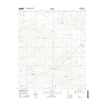
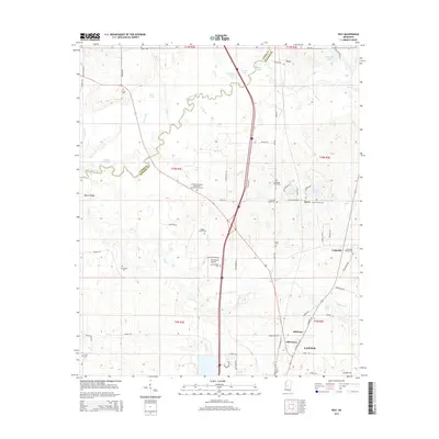
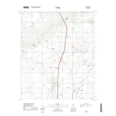
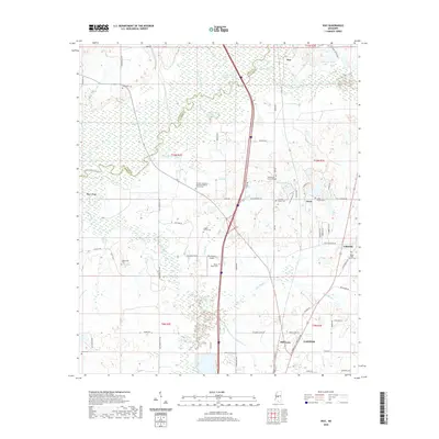
(20)- 2012 Map of Way, 2012 Print
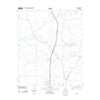 2012 Way2012 Print · USGSCovers Canton, including Milltown, Mill Town, and other nearby areas
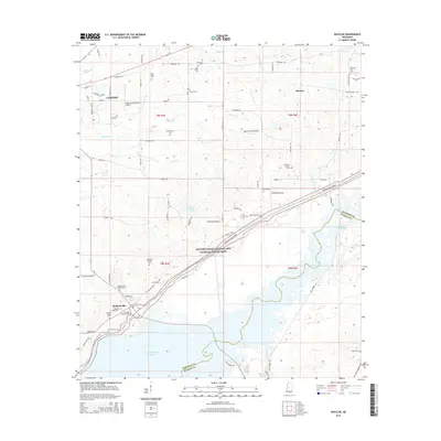
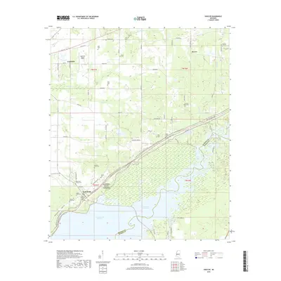
 - 2012 Map of Shoccoe, 2012 Print
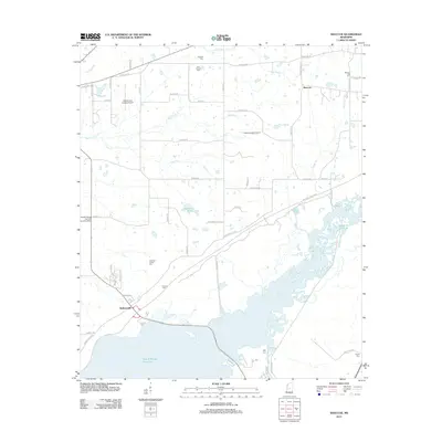 2012 Shoccoe2012 Print · USGSCovers Canton, including Madisonville, Shoccoe, and other nearby areas
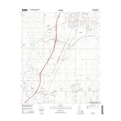
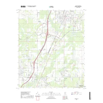
 - 2012 Map of Canton, 2012 Print
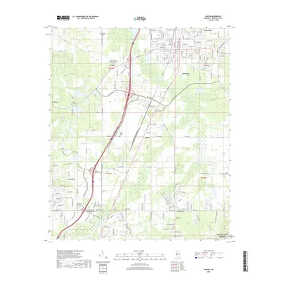
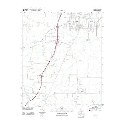 2012 Canton2012 Print · USGSCovers Canton, including Gluckstadt, Deerfield, and other nearby areas
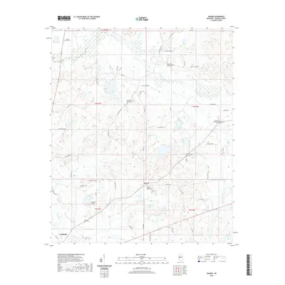
 - 2012 Map of Sharon, 2012 Print
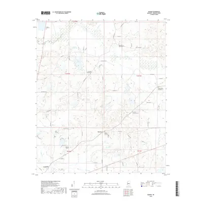
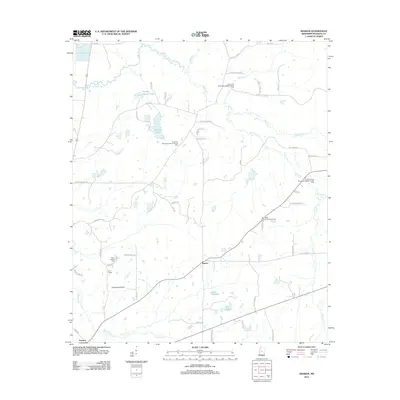 2012 Sharon2012 Print · USGSCovers Canton, including Sharon, Turnetta, and other nearby areas
 - 2015 Map of Sharon, 2015 Print
 2015 Sharon2015 Print · USGSCovers Canton, including Sharon, Turnetta, and other nearby areas
 - 2015 Map of Way, 2015 Print
 2015 Way2015 Print · USGSCovers Canton, including Milltown, Mill Town, and other nearby areas
 - 2015 Map of Shoccoe, 2015 Print
 2015 Shoccoe2015 Print · USGSCovers Canton, including Madisonville, Shoccoe, and other nearby areas
 - 2015 Map of Canton, 2015 Print
 2015 Canton2015 Print · USGSCovers Canton, including Gluckstadt, Deerfield, and other nearby areas
 - 2018 Map of Canton, 2018 Print
 2018 Canton2018 Print · USGSCovers Canton, including Gluckstadt, Deerfield, and other nearby areas
 - 2018 Map of Way, 2018 Print
 2018 Way2018 Print · USGSCovers Canton, including Milltown, Mill Town, and other nearby areas
 - 2018 Map of Shoccoe, 2018 Print
 2018 Shoccoe2018 Print · USGSCovers Canton, including Madisonville, Shoccoe, and other nearby areas
 - 2018 Map of Sharon, 2018 Print
 2018 Sharon2018 Print · USGSCovers Canton, including Sharon, Turnetta, and other nearby areas
 - 2020 Map of Way, 2020 Print
 2020 Way2020 Print · USGSCovers Canton, including Milltown, Mill Town, and other nearby areas
 - 2020 Map of Sharon, 2020 Print
 2020 Sharon2020 Print · USGSCovers Canton, including Sharon, Turnetta, and other nearby areas
 - 2020 Map of Shoccoe, 2020 Print
 2020 Shoccoe2020 Print · USGSCovers Canton, including Madisonville, Shoccoe, and other nearby areas
 - 2020 Map of Canton, 2020 Print
 2020 Canton2020 Print · USGSCovers Canton, including Gluckstadt, Deerfield, and other nearby areas
 - 2024 Map of Way, 2024 Print
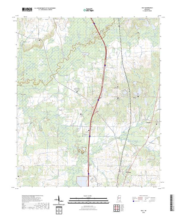 2024 Way2024 Print · USGSMadison County's rural landscape north of Canton is captured here in the early twenty-first century. Genealogists can trace family heritage at the White Family Cem or Leggitt Family Cem while locating the site of the Humble Jerusalem Missionary Baptist Church.
 - 2024 Map of Sharon, 2024 Print
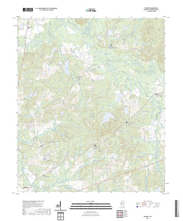 2024 Sharon2024 Print · USGSThe area northeast of Canton is mapped here in the early twenty-first century, showing a landscape of family cemeteries and rural parishes. Genealogists can trace sites like Grafton Family Cem and Sharon Methodist Church Cem.
 - 2024 Map of Shoccoe, 2024 Print
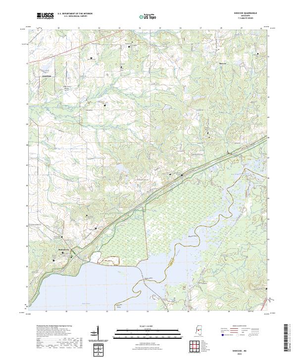 2024 Shoccoe2024 Print · USGSModern Madison County is shown here during a period of preserved history and lakefront development along the Pearl River. Researchers can trace ancestral sites like Kyle Place Cemetery or locate historic river crossings at Meeks Ferry and Moores Ferry.
 - 2024 Map of Canton, 2024 Print
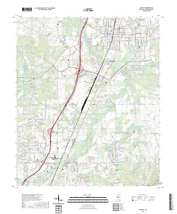 2024 Canton2024 Print · USGSCanton and Madison County at the start of the 2020s reveal a landscape where deep-rooted history meets modern growth. Genealogists can trace family lines at Old Madison Presbyterian Cem and Mount Able Cem, or locate the Madison County Courthouse and Saint Joseph Catholic Church.
End of results
Showing maps 1-20 of 20
Top cities near Canton
- Jackson historical maps
- Madison historical maps
- Ridgeland historical maps
- Flowood historical maps
- Gluckstadt historical maps
Top neighborhoods of Canton
Frequently asked questions
- What are the different types of historical maps available for Canton?
- What is the oldest map of Canton?
- Where can I purchase historical maps of Canton for my home or office?
- Where can I download high-res historical maps of Canton?
- Are there historical topographic maps available for Canton?
- Is there historical aerial imagery available for Canton?
- Where are historical maps of Canton sourced from?