Old Maps of Canton, Mississippi for Academic Research
Study the evolution of Canton with 35 high-resolution historic maps. Whether you're teaching, researching, or modeling changes in land use, these maps provide essential visual documentation of urban, environmental, and geographic change.
- Analyze long-term change: Track patterns in development, transportation, and natural features.
- Ideal for environmental or urban studies: Support academic projects with primary historical map data.
- Use in the classroom or lab: Educators and researchers rely on these maps to bring historical context to life.
These maps are a powerful tool for teaching, research, and visualizing how Canton has changed over the decades.
Canton, MS maps
(35)- 1953 Map of Meridian, 1966 Print
 1953 Meridian1966 Print · USGSEast Central Mississippi and the Alabama borderlands are captured here during a period of steady growth and infrastructure expansion. Genealogists and historians can trace rail-town development along the Gulf Mobile & Ohio Railroad and find early settlements like Scooba, Pelahatchie, and De Kalb.2 unique versions available
 - 1955 Map of Jackson
 1955 Jackson1955 Print · USGSThe Lower Mississippi Valley at the middle of the century reveals a landscape of deep river meanders and growing rail hubs. Genealogists and historians can trace the mid-century footprints of Vicksburg National Military Park, old river landings at Port Gibson, and the rail corridors of the Illinois Central Railroad.3 unique versions available
 - 1957 Map of Meridian
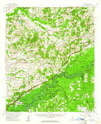
 1957 Meridian1957 Print · USGSEast Central Mississippi and parts of Western Alabama come alive in the mid-1950s, centered on the transit hub of Meridian. Researchers can trace old rail lines like the Illinois Central and find historic sites such as the Choctaw Indian Reservation and Roosevelt State Park.
 - 1960 Map of Sharon, 1961 Print
 1960 Sharon1961 Print · USGSMadison County in the early sixties sits at a crossroads as the Pearl River Valley Reservoir begins to take shape. Genealogists and local historians can trace rural roots through landmarks like Zion Chapel Cem, the Sacred Heart Mission, and small hubs like Farmhaven.2 unique versions available
 - 1961 Map of Jackson
 1961 Jackson1961 Print · USGSThe Lower Mississippi Delta and the state capital area are captured here during the post-war era of infrastructure expansion. Researchers can trace the complex river oxbows and rail lines connecting Vicksburg, Yazoo City, and the Illinois Central Railroad network.
 - 1961 Map of Canton, 1963 Print
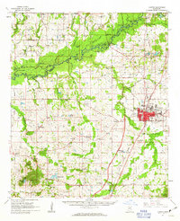 1961 Canton1963 Print · USGSMadison County at the start of the 1960s reveals a transition from the historic rail hub of Canton to the bottomlands of the Big Black River. Genealogists and local historians can trace rural family roots at Mt Pisgah Cem, Livingston, and Campbell Chapel.3 unique versions available
 - 1962 Map of Jackson
 1962 Jackson1962 Print · USGSThe Mississippi Delta and the state capital region are mapped here in the early sixties, showing a landscape defined by the great river and the growing city of JACKSON. Genealogists can trace family roots through numerous landmarks like Cedar Hill Cem, rural stops on the Illinois Central RR, and historic sites like Champion Hill.2 unique versions available
 - 1965 Map of Meridian
 1965 Meridian1965 Print · USGSEast Mississippi and West Alabama are mapped here in the mid-sixties as the region's modern highway and reservoir systems began to take shape. Researchers can trace rural lineages through local landmarks like Prince Chapel and Tuscahoma Landing, or follow the historic Gulf Mobile & Ohio rail lines.
 - 1984 Map of Yazoo City
 1984 Yazoo City1984 Print · USGSThe Mississippi Delta and loess bluffs meet in the mid-eighties as the Yazoo River snakes through a dense network of wildlife areas and rail lines. Researchers can trace rural life and drainage history through small communities like Holly Bluff, Mechanicsburg, and Satartia.2 unique versions available
 - 1984 Map of Carthage
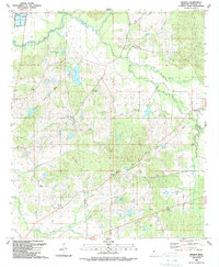
 1984 Carthage1984 Print · USGSLeake and Neshoba counties in the mid-1980s showcase a transition from the Government Hills to the dense Bienville National Forest. Genealogists and researchers can trace the historic Natchez Trace Parkway and local settlements like Plattsburg and Williamsville.
 - 1988 Map of Sharon, 1989 Print
 1988 Sharon1989 Print · USGSThe community of Sharon and its surrounding Madison County farmland are captured here in the late 1980s. Genealogists can trace family footprints through numerous local landmarks like Sims Chapel, St Mark Ch, and Hassley Herron Lake.
 - 1989 Map of Shoccoe
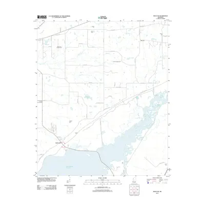
 1989 Shoccoe1989 Print · USGSThe Pearl River bottomlands and the reservoir shoreline come into focus in the late eighties as conservation areas expand. Local historians can trace old community landmarks like Zion Chapel, the Old Railroad Grade, and Madisonville along the historic Natchez Trace Parkway.
 - 1989 Map of Way
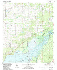
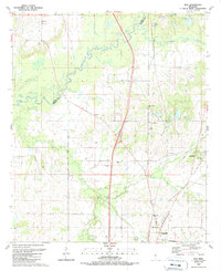 1989 Way1989 Print · USGSMississippi's river borderlands appear in detail in the late 1980s, centered on the Big Black River. Genealogists can trace family burial sites like Knott Cem and rural centers including Cobbville, Way, and Thornton Chapel.
 - 1989 Map of Canton
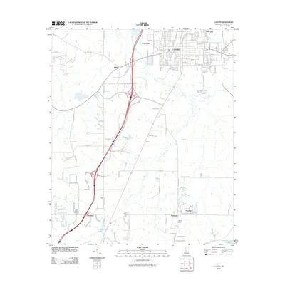
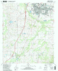 1989 Canton1989 Print · USGSMadison County's central landscape is captured here in the late eighties, showing a community defined by its schools and rural parishes. Genealogists can trace family names at Harvey Chapel, Old Madison Ch and Sch, and the Mt Able Cem.
 - 1994 Map of Carthage
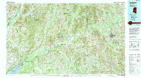 1994 Carthage1994 Print · USGSCentral Mississippi in the mid-nineties is a region of dense river bottoms and historic travel ways. Genealogists can trace family names and small-town roots across the Choctaw Indian Reservation or follow the path of the Natchez Trace Parkway past Carthage and Walnut Grove.
 - 2012 Map of Way, 2012 Print
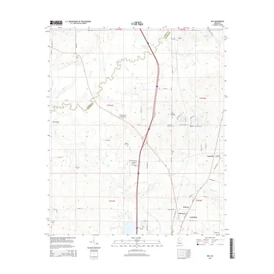
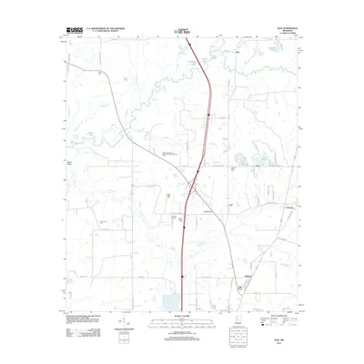 2012 Way2012 Print · USGSCovers Canton, including Milltown, Mill Town, and other nearby areas
 - 2012 Map of Shoccoe, 2012 Print
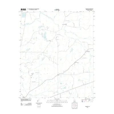
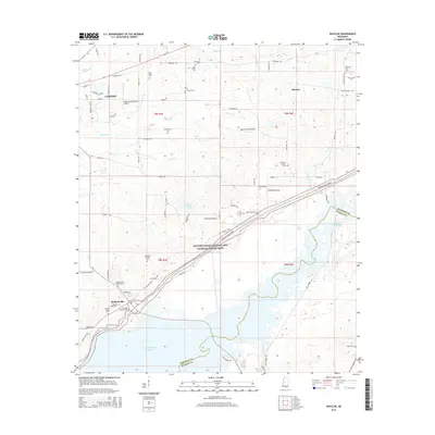
 2012 Shoccoe2012 Print · USGSCovers Canton, including Madisonville, Shoccoe, and other nearby areas
 - 2012 Map of Canton, 2012 Print
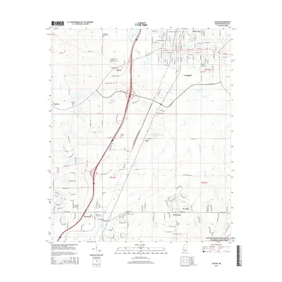
 2012 Canton2012 Print · USGSCovers Canton, including Gluckstadt, Deerfield, and other nearby areas
 - 2012 Map of Sharon, 2012 Print
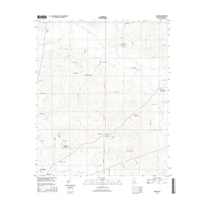
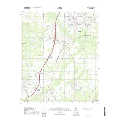
 2012 Sharon2012 Print · USGSCovers Canton, including Sharon, Turnetta, and other nearby areas
 - 2015 Map of Sharon, 2015 Print
 2015 Sharon2015 Print · USGSCovers Canton, including Sharon, Turnetta, and other nearby areas
 - 2015 Map of Way, 2015 Print
 2015 Way2015 Print · USGSCovers Canton, including Milltown, Mill Town, and other nearby areas
 - 2015 Map of Shoccoe, 2015 Print
 2015 Shoccoe2015 Print · USGSCovers Canton, including Madisonville, Shoccoe, and other nearby areas
 - 2015 Map of Canton, 2015 Print
 2015 Canton2015 Print · USGSCovers Canton, including Gluckstadt, Deerfield, and other nearby areas
 - 2018 Map of Canton, 2018 Print
 2018 Canton2018 Print · USGSCovers Canton, including Gluckstadt, Deerfield, and other nearby areas
 - 2018 Map of Way, 2018 Print
 2018 Way2018 Print · USGSCovers Canton, including Milltown, Mill Town, and other nearby areas
Showing maps 1-25 of 35
Top cities near Canton
- Jackson historical maps
- Madison historical maps
- Ridgeland historical maps
- Flowood historical maps
- Gluckstadt historical maps
Top neighborhoods of Canton
Frequently asked questions
- What are the different types of historical maps available for Canton?
- What is the oldest map of Canton?
- Where can I purchase historical maps of Canton for my home or office?
- Where can I download high-res historical maps of Canton?
- Are there historical topographic maps available for Canton?
- Is there historical aerial imagery available for Canton?
- Where are historical maps of Canton sourced from?