Old Maps of Waterford, Mississippi for Academic Research
Study the evolution of Waterford with 13 high-resolution historic maps. Whether you're teaching, researching, or modeling changes in land use, these maps provide essential visual documentation of urban, environmental, and geographic change.
- Analyze long-term change: Track patterns in development, transportation, and natural features.
- Ideal for environmental or urban studies: Support academic projects with primary historical map data.
- Use in the classroom or lab: Educators and researchers rely on these maps to bring historical context to life.
These maps are a powerful tool for teaching, research, and visualizing how Waterford has changed over the decades.
Waterford, MS maps
(13)- 1944 Map of Potts Camp, 1973 Print
 1944 Potts Camp1973 Print · USGSMarshall County's rural landscape is captured here during the mid-1940s, highlighting the area's transition between the national forest and the Tallahatchie valley. Researchers can trace family sites at St Pauls Ch & Cem, the community at Potts Camp, and early engineering like the Tallahatchie Canal.
 - 1945 Map of Potts Camp, 1964 Print
 1945 Potts Camp1964 Print · USGSNorth Mississippi's rural timber and farm country comes into focus in the mid-1940s, just as the local landscape was being reshaped by large-scale flood control projects. Genealogists can locate family landmarks such as Bethany Ch & Cem, the Winborn Lookout Tower, and small settlements like Cornersville and Malone.
 - 1956 Map of Tupelo, 1967 Print
 1956 Tupelo1967 Print · USGSNortheast Mississippi and parts of Tennessee and Alabama are shown here during the mid-fifties, a time of major reservoir construction and forestry management. Researchers can trace the St Louis-San Francisco RR through Tupelo or locate historic sites like Tishomingo State Park and the University.2 unique versions available
 - 1958 Map of Tupelo
 1958 Tupelo1958 Print · USGSNortheast Mississippi and neighboring Alabama and Tennessee appear here during the late fifties as a region defined by new reservoirs and historic rail lines. Genealogists can trace family locations near Sardis Lake, Woodall Mountain, and the St Louis-San Francisco Ry.
 - 1964 Map of Waterford, 1965 Print
 1964 Waterford1965 Print · USGSWayne County during the mid-sixties reveals a landscape of national forest land and emerging industry. Researchers can locate remote family sites like Shows Cem or trace the early Thompson Creek Oil Field and Big Creek Lookout Tower.
 - 1982 Map of Waterford, 1983 Print
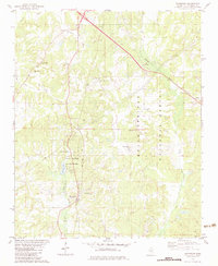 1982 Waterford1983 Print · USGSNorthern Mississippi in the early eighties shows a landscape defined by the Holly Springs National Forest. Genealogists can trace family roots at Waltons Chapel Cem or locate community hubs like Waterford and Waites.
 - 1984 Map of Tupelo
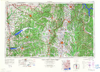 1984 Tupelo1984 Print · USGSNorth Mississippi in the 1980s is defined by its massive river basin reservoirs and the growing regional hubs of Tupelo and Oxford. Researchers can trace the legacy of the Pontotoc Ridge, find the University of Mississippi, and map early Interstate corridors near Sardis Lake.3 unique versions available
 - 2000 Map of Waterford, 2003 Print
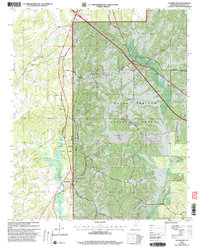 2000 Waterford2003 Print · USGSWaterford and the surrounding Marshall County hills are seen here during the transition into the twenty-first century. Genealogists and local historians can trace the locations of numerous rural congregations and burial grounds, including Waltons Chapel Ch, Beverly Chapel Cem, and Finley Cem.
 - 2012 Map of Waterford, 2012 Print
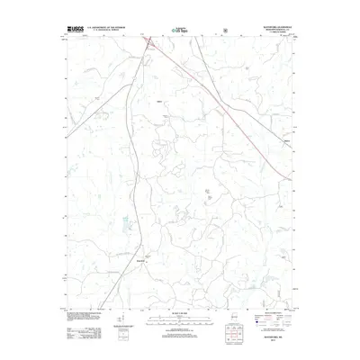 2012 Waterford2012 Print · USGSNorth Mississippi's rural landscape comes into focus in this Marshall County study from the early 2010s. Genealogists and local historians can trace family locations through numerous sites like Waterford Cemetery, Sauls Chapel Cemetery, and the community of Gilton.
 - 2015 Map of Waterford, 2015 Print
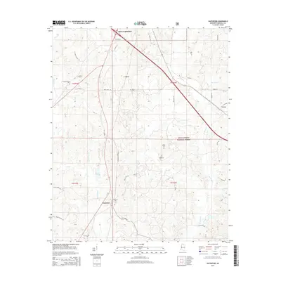 2015 Waterford2015 Print · USGSThe Marshall County countryside south of Holly Springs is captured here in the mid-2010s, revealing a landscape of forest and family history. Researchers can locate numerous local landmarks such as Sauls Chapel Cem, the Waterford settlement, and Spring Lake.
 - 2018 Map of Waterford, 2018 Print
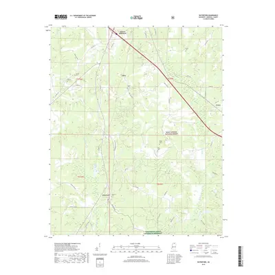 2018 Waterford2018 Print · USGSNorthern Mississippi's rural landscape comes into focus here near the edge of the national forest. Genealogists can locate family burial sites at Sauls Chapel Cem and Beverly Cem, or trace the settlement patterns of Waterford and Gilton.
 - 2021 Map of Waterford, 2021 Print
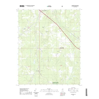 2021 Waterford2021 Print · USGSMarshall County in 2021 reflects a quiet rural landscape where small settlements and the Holly Springs National Forest meet. Researchers can trace family history through numerous landmarks like Mount Teamor Cem, Gilton, and the waters of Big Spring Cr.
 - 2024 Map of Waterford, 2024 Print
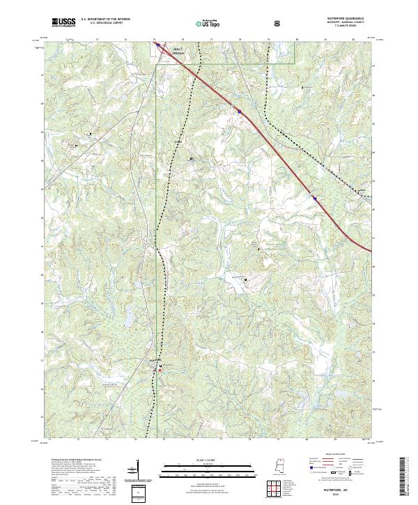 2024 Waterford2024 Print · USGSMarshall County's rural landscape is captured here in the mid-2020s, centered on the community of Waterford. Researchers can locate several ancestral burial sites including Beverly Cem and Mount Teamor Cem near the Holly Springs National Forest.
End of results
Showing maps 1-13 of 13
Top cities near Waterford
- Holly Springs historical maps
- Byhalia historical maps
- Potts Camp historical maps
- Abbeville historical maps
- Snow Lake Shores historical maps
Frequently asked questions
- What are the different types of historical maps available for Waterford?
- What is the oldest map of Waterford?
- Where can I purchase historical maps of Waterford for my home or office?
- Where can I download high-res historical maps of Waterford?
- Are there historical topographic maps available for Waterford?
- Is there historical aerial imagery available for Waterford?
- Where are historical maps of Waterford sourced from?