Old Maps of Mathiston, Mississippi for Metal Detecting
Plan your next treasure hunt with 17 historic maps of Mathiston. Find old homesites, ghost towns, trails, and gathering spots that may be lost to time — perfect for identifying promising metal detecting locations.
- Locate forgotten sites: Uncover places like long-lost settlements, abandoned rail lines, or gathering spots.
- Plan better hunts: Use map overlays combined with LiDAR or satellite views to narrow in on historically rich areas.
- Made for detectorists: Thousands of hobbyists use these maps to discover relics, coins, and hidden history.
Use these historic maps to boost your research and find new opportunities beneath the surface of Mathiston.
Mathiston, MS maps
(17)- 1953 Map of West Point, 1973 Print
 1953 West Point1973 Print · USGSNorth-Central Mississippi and the Alabama borderlands are captured here during the mid-twentieth century as new reservoirs and national forests transformed the landscape. Researchers can trace the path of the Mississippi & Skuna Valley railroad or locate old landings along the Tombigbee River and Schooner Creek.3 unique versions available
 - 1958 Map of West Point
 1958 West Point1958 Print · USGSNortheastern Mississippi and western Alabama are shown in the late 1950s, highlighting a region defined by its river-and-rail economy. Researchers can trace family roots through numerous settlements like Artesia and Vardaman or explore the corridor of the Tombigbee River.
 - 1963 Map of West Point
 1963 West Point1963 Print · USGSEastern Mississippi and western Alabama are captured in the early sixties as industrial centers and rail lines connected the Black Prairie to the hills. Genealogists and historians can trace family-named watercourses and the early footprints of Starkville, Columbus, and the Noxubee National Wildlife Refuge.2 unique versions available
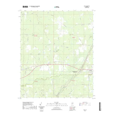
 - 1972 Map of Maben, 1974 Print
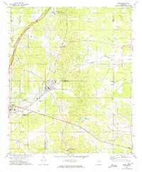 1972 Maben1974 Print · USGSMaben and Mathiston appear as active rail-and-road junctions in the early seventies, positioned at the convergence of four North Mississippi counties. Local historians can trace old community centers like Cumberland, dozens of country churches including Double Springs Ch, and the route of the Natchez Trace Parkway.
 - 1972 Map of Sapa, 1974 Print
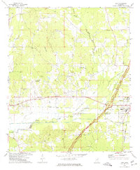 1972 Sapa1974 Print · USGSNorth-central Mississippi communities at the start of the 1970s reveal a landscape of rural school life and river-bottom agriculture. Researchers can trace local landmarks like Wood Junior College and the Drive-in Theater or locate ancestral sites such as Lollars Grove Ch.
 - 1984 Map of West Point
 1984 West Point1984 Print · USGSNorth-Central Mississippi in the mid-eighties shows a landscape defined by massive water management projects and dense timberlands. Researchers can trace the legacy of rural settlements like Geeslin Corner or the rail corridors of the Illinois Central Gulf RR near Grenada Lake.3 unique versions available
 - 1984 Map of Grenada, 1990 Print
 1984 Grenada1990 Print · USGSNorth Central Mississippi’s river valleys and conservation lands are captured here in the mid-1980s. Researchers can trace the sprawling Camp Mc Cain, the Illinois Central Gulf rail line, and the historic Treaty Boundary.
 - 2012 Map of Sapa, 2012 Print
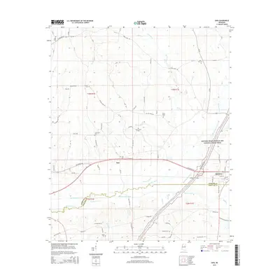
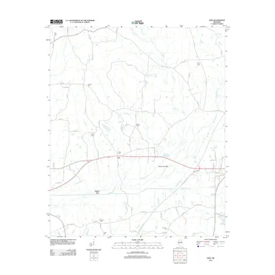 2012 Sapa2012 Print · USGSCovers Mathiston, including Sapa, Webster County, and other nearby areas
 - 2012 Map of Maben, 2012 Print
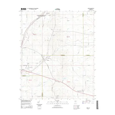
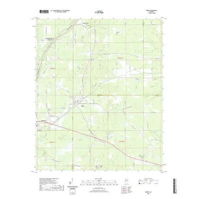
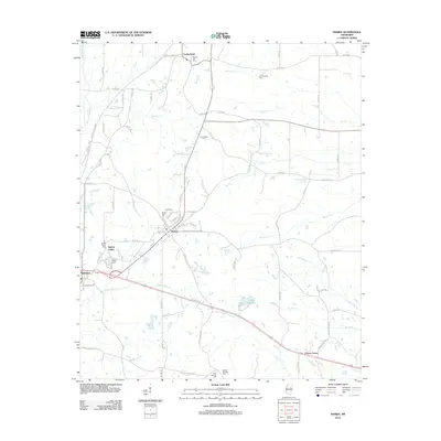 2012 Maben2012 Print · USGSCovers Mathiston, including Center Grove, Spring Valley, and other nearby areas
 - 2015 Map of Sapa, 2015 Print
 2015 Sapa2015 Print · USGSCovers Mathiston, including Sapa, Webster County, and other nearby areas
 - 2015 Map of Maben, 2015 Print
 2015 Maben2015 Print · USGSCovers Mathiston, including Center Grove, Spring Valley, and other nearby areas
 - 2018 Map of Sapa, 2018 Print
 2018 Sapa2018 Print · USGSCovers Mathiston, including Sapa, Webster County, and other nearby areas
 - 2018 Map of Maben, 2018 Print
 2018 Maben2018 Print · USGSCovers Mathiston, including Center Grove, Spring Valley, and other nearby areas
 - 2020 Map of Sapa, 2020 Print
 2020 Sapa2020 Print · USGSCovers Mathiston, including Sapa, Webster County, and other nearby areas
 - 2020 Map of Maben, 2020 Print
 2020 Maben2020 Print · USGSCovers Mathiston, including Center Grove, Spring Valley, and other nearby areas
 - 2024 Map of Sapa, 2024 Print
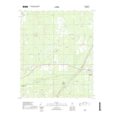
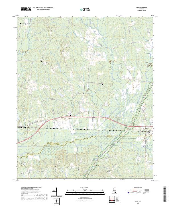 2024 Sapa2024 Print · USGSWebster County and the northern edge of Choctaw County appear here in the modern era, centered on the settlement of Sapa. Genealogists can trace family burial sites like Red Hill African American Cem and Lollars Grove Cem near the Natchez Trace Parkway.
 - 2024 Map of Maben, 2024 Print
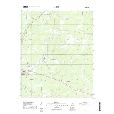
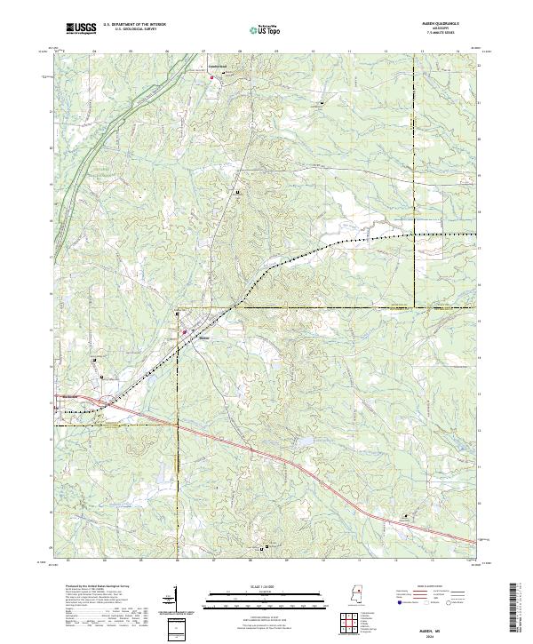 2024 Maben2024 Print · USGSMaben and Mathiston sit at the historic crossroads of four Mississippi counties during the early twenty-first century. Researchers can trace family roots through numerous burial sites like Double Springs Cem and Marvin Hill Cem along the Natchez Trace Parkway.
End of results
Showing maps 1-17 of 17
Top cities near Mathiston
- Eupora historical maps
- Ackerman historical maps
- Sturgis historical maps
- Walthall historical maps
- Mantee historical maps
Frequently asked questions
- What are the different types of historical maps available for Mathiston?
- What is the oldest map of Mathiston?
- Where can I purchase historical maps of Mathiston for my home or office?
- Where can I download high-res historical maps of Mathiston?
- Are there historical topographic maps available for Mathiston?
- Is there historical aerial imagery available for Mathiston?
- Where are historical maps of Mathiston sourced from?