2000s (21st Century) Maps of Mathiston, Mississippi
Explore 10 historic maps of Mathiston from the 2000s (21st Century). These maps offer a rare glimpse into what life looked like during the 2000s — showing old roads, neighborhoods, homes, and landmarks that have changed or disappeared over time.
Whether you're researching your family's past, planning a metal detecting trip, or studying how Mathiston's landscape evolved across the 2000s, these high-resolution maps are a powerful tool for exploring the history of this region.
- Focus on a specific era: All maps on this page are from the 2000s, giving you a focused view of this time period.
- See what’s changed: Compare century-old streets, trails, and buildings to today's modern landscape using overlays and satellite layers.
- Research with precision: Use these maps for genealogy, historical research, land use analysis, or educational projects.
- View, download, or print: Maps are fully viewable online in high resolution, and can be downloaded or printed for your own records.
Start exploring Mathiston's history through authentic maps from the 2000s. This is your window into the past.
Mathiston, MS maps
(10)- 2012 Map of Sapa, 2012 Print
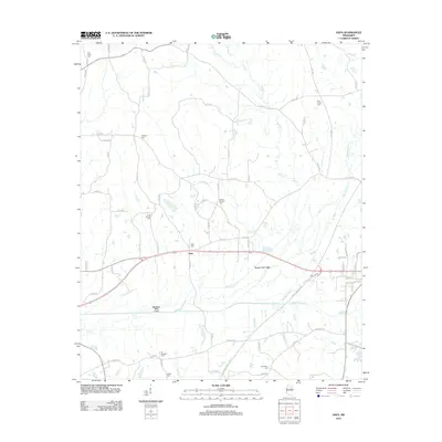 2012 Sapa2012 Print · USGSCovers Mathiston, including Sapa, Webster County, and other nearby areas
 - 2012 Map of Maben, 2012 Print
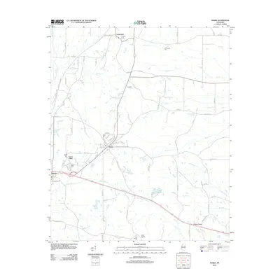 2012 Maben2012 Print · USGSCovers Mathiston, including Center Grove, Spring Valley, and other nearby areas
 - 2015 Map of Sapa, 2015 Print
 2015 Sapa2015 Print · USGSCovers Mathiston, including Sapa, Webster County, and other nearby areas
 - 2015 Map of Maben, 2015 Print
 2015 Maben2015 Print · USGSCovers Mathiston, including Center Grove, Spring Valley, and other nearby areas
 - 2018 Map of Sapa, 2018 Print
 2018 Sapa2018 Print · USGSCovers Mathiston, including Sapa, Webster County, and other nearby areas
 - 2018 Map of Maben, 2018 Print
 2018 Maben2018 Print · USGSCovers Mathiston, including Center Grove, Spring Valley, and other nearby areas
 - 2020 Map of Sapa, 2020 Print
 2020 Sapa2020 Print · USGSCovers Mathiston, including Sapa, Webster County, and other nearby areas
 - 2020 Map of Maben, 2020 Print
 2020 Maben2020 Print · USGSCovers Mathiston, including Center Grove, Spring Valley, and other nearby areas
 - 2024 Map of Sapa, 2024 Print
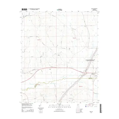
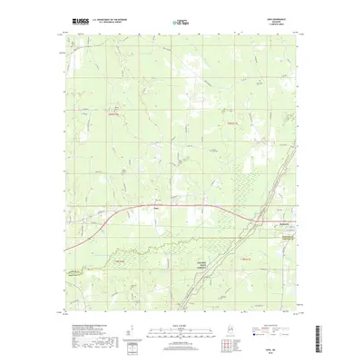
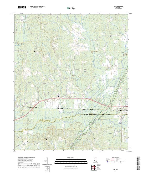 2024 Sapa2024 Print · USGSWebster County and the northern edge of Choctaw County appear here in the modern era, centered on the settlement of Sapa. Genealogists can trace family burial sites like Red Hill African American Cem and Lollars Grove Cem near the Natchez Trace Parkway.
 - 2024 Map of Maben, 2024 Print
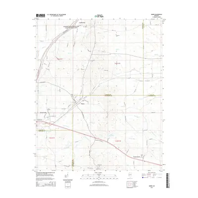
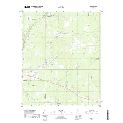
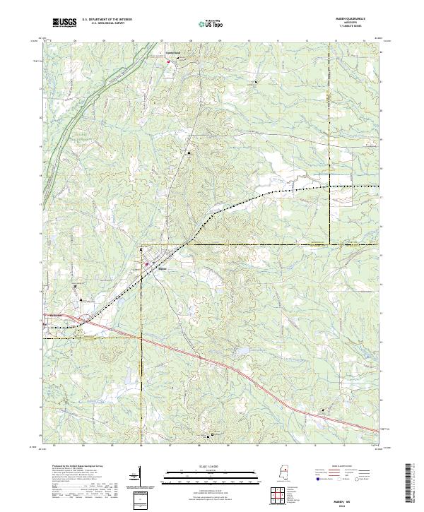 2024 Maben2024 Print · USGSMaben and Mathiston sit at the historic crossroads of four Mississippi counties during the early twenty-first century. Researchers can trace family roots through numerous burial sites like Double Springs Cem and Marvin Hill Cem along the Natchez Trace Parkway.
End of results
Showing maps 1-10 of 10
Top cities near Mathiston
- Eupora historical maps
- Ackerman historical maps
- Sturgis historical maps
- Walthall historical maps
- Mantee historical maps
Frequently asked questions
- What are the different types of historical maps available for Mathiston?
- What is the oldest map of Mathiston?
- Where can I purchase historical maps of Mathiston for my home or office?
- Where can I download high-res historical maps of Mathiston?
- Are there historical topographic maps available for Mathiston?
- Is there historical aerial imagery available for Mathiston?
- Where are historical maps of Mathiston sourced from?