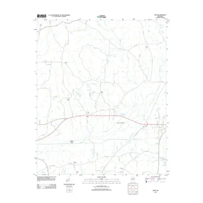
2012 Map of Sapa
USGS Topo · Published 2012About this map
Sapa serves as the central focal point of this rural Webster County landscape, where the intersection of local routes meets the engineered waterways of the Deep South. The terrain is defined by the winding course of the Big Black River, which is supplemented here by the Big Black River Canal and the Spring Creek Canal, reflecting historical efforts to manage drainage and flooding in the bottomlands. Numerous small tributaries, including Buttermilk Cr and Lick Cr, thread between the hills and the river plain.
Find a feature on this map
76 named features on this map. Tap any name to fly to it.
Don’t see what you’re looking for? This feature index may not catch every label — zoom into the map to look around manually.
Map Details
Editions of this 2012 Sapa Map
This is the sole edition of this map. No revisions or reprints were ever made.
Other maps of this area

1953 · Walthall
USGS Topo · 1:62,500

1953 · West Point
USGS Topo · 1:250,000

1958 · West Point
USGS Topo · 1:250,000

1963 · West Point
USGS Topo · 1:250,000

1966 · Tomnolen
USGS Topo · 1:24,000

1968 · Weir
USGS Topo · 1:62,500

1972 · Maben
USGS Topo · 1:24,000

1972 · Sapa
USGS Topo · 1:24,000

1972 · Hohenlinden
USGS Topo · 1:24,000

1972 · Mantee
USGS Topo · 1:24,000