Old Maps of Smithville, Mississippi for Hiking & Exploration
Hike through history with 11 historic maps of Smithville. Explore old trails, ghost towns, and forgotten backroads — perfect for outdoor adventurers and local explorers.
- Rediscover forgotten places: Map out old mining camps, roads, and footpaths that no longer exist on modern maps.
- Layer with modern tools: Combine with LiDAR or satellite views to plan hikes through historical terrain.
- Made for exploration: Popular among hikers, overlanders, and local history lovers.
Use these maps to find adventure and explore the hidden past of Smithville.
Smithville, MS maps
(11)- 1956 Map of Tupelo, 1967 Print
 1956 Tupelo1967 Print · USGSNortheast Mississippi and parts of Tennessee and Alabama are shown here during the mid-fifties, a time of major reservoir construction and forestry management. Researchers can trace the St Louis-San Francisco RR through Tupelo or locate historic sites like Tishomingo State Park and the University.2 unique versions available
 - 1958 Map of Tupelo
 1958 Tupelo1958 Print · USGSNortheast Mississippi and neighboring Alabama and Tennessee appear here during the late fifties as a region defined by new reservoirs and historic rail lines. Genealogists can trace family locations near Sardis Lake, Woodall Mountain, and the St Louis-San Francisco Ry.
 - 1966 Map of Smithville, 1967 Print
 1966 Smithville1967 Print · USGSMonroe and Itawamba counties appear here in the mid-1960s, a landscape defined by the winding Tombigbee River and historic land lines. Genealogists can locate family landmarks like Dunlap Cem, Bethel Ch, and the distinct paths of the Old Indian Boundary.2 unique versions available
 - 1984 Map of Tupelo
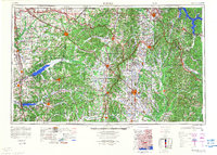 1984 Tupelo1984 Print · USGSNorth Mississippi in the 1980s is defined by its massive river basin reservoirs and the growing regional hubs of Tupelo and Oxford. Researchers can trace the legacy of the Pontotoc Ridge, find the University of Mississippi, and map early Interstate corridors near Sardis Lake.3 unique versions available
 - 1984 Map of Tupelo, 1985 Print
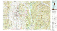 1984 Tupelo1985 Print · USGSNortheast Mississippi and the Alabama borderlands are shown in the mid-1980s as timber and river networks shaped the region. Trace local history through the Illinois Central Gulf rail line and sites like the Old Natchez Trace Parkway.
 - 1992 Map of Smithville, 1995 Print
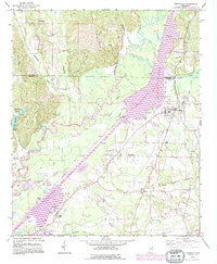 1992 Smithville1995 Print · USGSMonroe and Itawamba counties appear here during the 1990s as the regional landscape was reshaped by the massive Tennessee-Tombigbee Waterway. Genealogists and historians can trace family sites at New Chapel Cem, Dunlap Cem, and Pooles Chapel near the community of Smithville.
 - 2012 Map of Smithville, 2012 Print
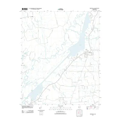 2012 Smithville2012 Print · USGSMonroe County, Mississippi, is shown here during a period of modern growth and well-preserved rural character in the early twenty-first century. Researchers can trace local lineage through burial grounds like New Chapel Cem or explore the water-bound geography of Pool B and Malone Lake.
 - 2015 Map of Smithville, 2015 Print
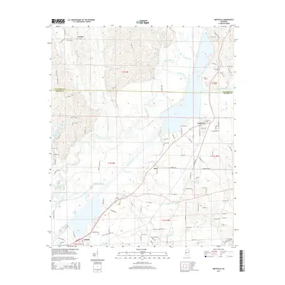 2015 Smithville2015 Print · USGSNortheast Mississippi life is centered on the massive Tombigbee River and Pool B reservoir in this mid-2010s survey. Researchers can trace local lineage through several burial sites like Smithville Cem or locate old crossings at Barrs Ferry Rd and Ironwood Bluff Rd.
 - 2018 Map of Smithville, 2018 Print
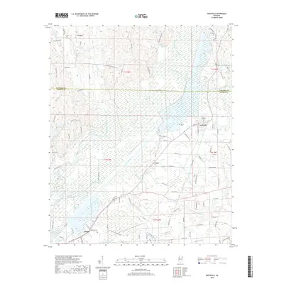 2018 Smithville2018 Print · USGSMonroe and Itawamba counties are shown here as they appeared recently, defined by the winding Tombigbee River and the rural communities of the hill country. Researchers can trace family history through New Chapel Cem, find the settlement at Carolina, and explore the northern outskirts of Amory.
 - 2020 Map of Smithville, 2020 Print
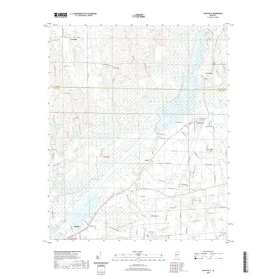 2020 Smithville2020 Print · USGSMonroe County near the Itawamba line is documented here in the early twenty-first century as the Tombigbee River valley continues to shape local life. Genealogists and researchers can trace family lands near Smithville, Carolina, and rural landmarks like New Chapel Cem.
 - 2024 Map of Smithville, 2024 Print
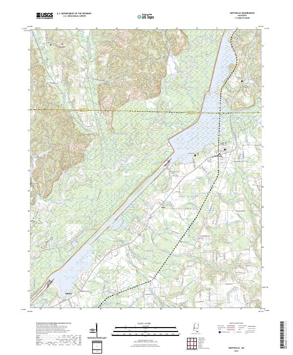 2024 Smithville2024 Print · USGSThe Smithville area of Northeast Mississippi is shaped by the expansive Tennessee-Tombigbee Waterway and its river-fed wetlands. Local historians can trace old community landmarks including Carolina, the Smithville Cem, and the outskirts of Amory near Malone Lake.
End of results
Showing maps 1-11 of 11
Top cities near Smithville
- Amory historical maps
- Aberdeen historical maps
- Fulton historical maps
- Nettleton historical maps
- Hatley historical maps
- Tremont historical maps
See more
Frequently asked questions
- What are the different types of historical maps available for Smithville?
- What is the oldest map of Smithville?
- Where can I purchase historical maps of Smithville for my home or office?
- Where can I download high-res historical maps of Smithville?
- Are there historical topographic maps available for Smithville?
- Is there historical aerial imagery available for Smithville?
- Where are historical maps of Smithville sourced from?