2020s Maps of Winona, Mississippi
Explore 8 historic maps of Winona from the 2020s. These maps offer a rare glimpse into what life looked like during the 2020s — showing old roads, neighborhoods, homes, and landmarks that have changed or disappeared over time.
Whether you're researching your family's past, planning a metal detecting trip, or studying how Winona's landscape evolved across the 2020s, these high-resolution maps are a powerful tool for exploring the history of this region.
- Focus on a specific era: All maps on this page are from the 2020s, giving you a focused view of this time period.
- See what’s changed: Compare century-old streets, trails, and buildings to today's modern landscape using overlays and satellite layers.
- Research with precision: Use these maps for genealogy, historical research, land use analysis, or educational projects.
- View, download, or print: Maps are fully viewable online in high resolution, and can be downloaded or printed for your own records.
Start exploring Winona's history through authentic maps from the 2020s. This is your window into the past.
Winona, MS maps
(8)- 2020 Map of Bailey Lake, 2020 Print
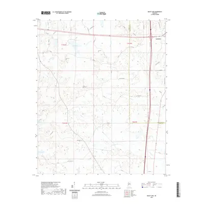 2020 Bailey Lake2020 Print · USGSCovers Winona, including Montgomery County, Carroll County, and other nearby areas
 - 2020 Map of Winona, 2020 Print
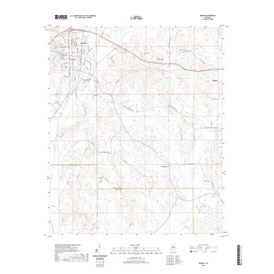 2020 Winona2020 Print · USGSCovers Winona, including Hendrix, Foltz, and other nearby areas
 - 2020 Map of Eskridge, 2020 Print
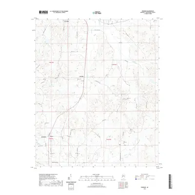 2020 Eskridge2020 Print · USGSCovers Winona, including Duck Hill, Fox, and other nearby areas
 - 2020 Map of McCarley, 2020 Print
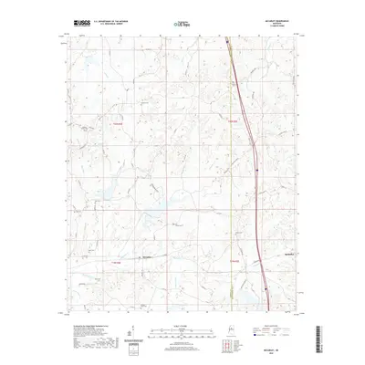 2020 McCarley2020 Print · USGSCovers Winona, including McCarley, Montgomery County, and other nearby areas
 - 2024 Map of Eskridge, 2024 Print
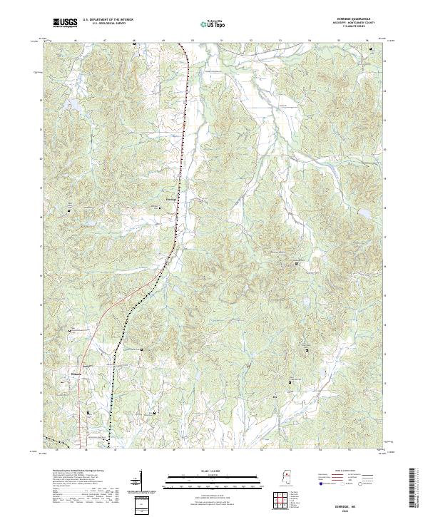 2024 Eskridge2024 Print · USGSThe rural landscape of Montgomery County comes into focus in this contemporary survey of the area around Winona and Eskridge. Researchers can trace decades of local heritage through landmarks like Prospect Church Cem, Sawyer, and Hays Creek.
 - 2024 Map of Bailey Lake, 2024 Print
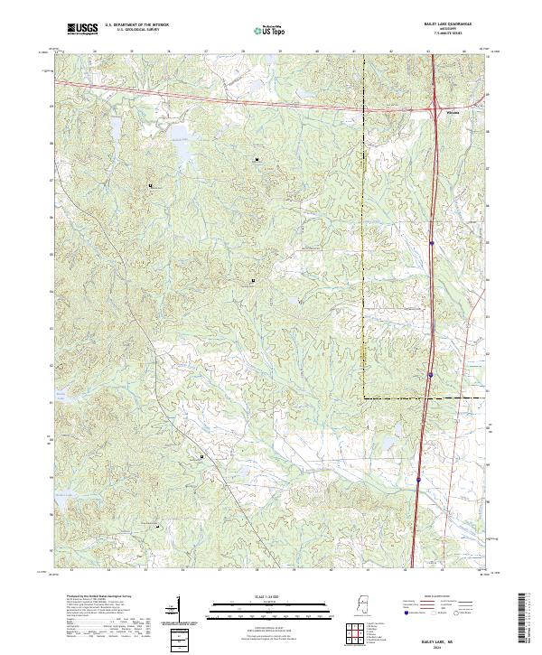 2024 Bailey Lake2024 Print · USGSThe area west of Winona is shown here in the 2020s, highlighting a landscape of rural roads and family cemeteries. Researchers can locate burial sites like Nebo Cem and Summerfield Cem near water bodies such as Bailey Lake and Booths Lake.
 - 2024 Map of McCarley, 2024 Print
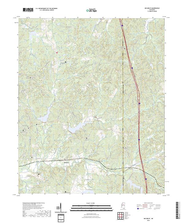 2024 McCarley2024 Print · USGSThe borderlands of Carroll and Montgomery counties come into focus in this contemporary survey of McCarley. Local historians can trace family roots through numerous remote burial grounds including Pink Flower Cem, Old Friendship Baptist Cem, and Allen Cem along Big Sand Creek.
 - 2024 Map of Winona, 2024 Print
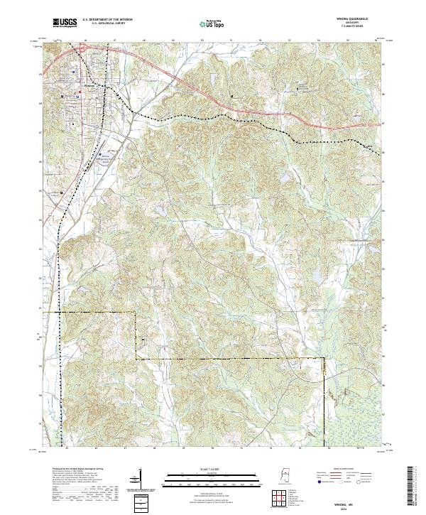 2024 Winona2024 Print · USGSWinona and the surrounding Montgomery County highlands are shown in contemporary detail during the mid-2020s. Genealogists can trace several local burial grounds including Oakwood Cem and Mason Cem, alongside landmarks like the Montgomery County Courthouse.
End of results
Showing maps 1-8 of 8
Top cities near Winona
- Grenada historical maps
- Duck Hill historical maps
- Vaiden historical maps
- Kilmichael historical maps
- North Carrollton historical maps
- Carrollton historical maps
Top neighborhoods of Winona
Frequently asked questions
- What are the different types of historical maps available for Winona?
- What is the oldest map of Winona?
- Where can I purchase historical maps of Winona for my home or office?
- Where can I download high-res historical maps of Winona?
- Are there historical topographic maps available for Winona?
- Is there historical aerial imagery available for Winona?
- Where are historical maps of Winona sourced from?