Old Maps of Clearman, Mississippi for Hiking & Exploration
Hike through history with 10 historic maps of Clearman. Explore old trails, ghost towns, and forgotten backroads — perfect for outdoor adventurers and local explorers.
- Rediscover forgotten places: Map out old mining camps, roads, and footpaths that no longer exist on modern maps.
- Layer with modern tools: Combine with LiDAR or satellite views to plan hikes through historical terrain.
- Made for exploration: Popular among hikers, overlanders, and local history lovers.
Use these maps to find adventure and explore the hidden past of Clearman.
Clearman, MS maps
(10)- 1953 Map of Meridian, 1966 Print
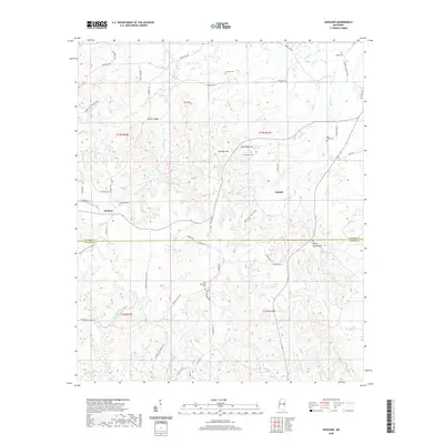
 1953 Meridian1966 Print · USGSEast Central Mississippi and the Alabama borderlands are captured here during a period of steady growth and infrastructure expansion. Genealogists and historians can trace rail-town development along the Gulf Mobile & Ohio Railroad and find early settlements like Scooba, Pelahatchie, and De Kalb.2 unique versions available
 - 1957 Map of Meridian
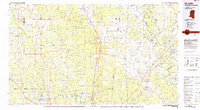
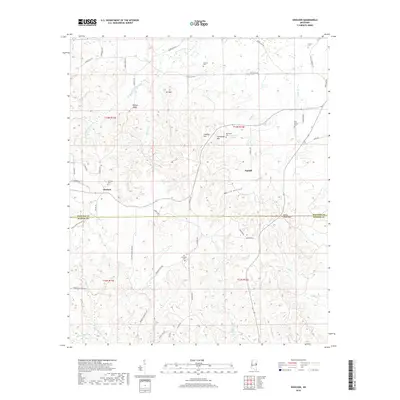
 1957 Meridian1957 Print · USGSEast Central Mississippi and parts of Western Alabama come alive in the mid-1950s, centered on the transit hub of Meridian. Researchers can trace old rail lines like the Illinois Central and find historic sites such as the Choctaw Indian Reservation and Roosevelt State Park.
 - 1963 Map of Gholson, 1964 Print
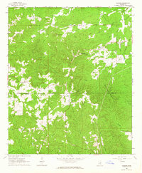 1963 Gholson1964 Print · USGSNoxubee and Kemper counties are shown in the early sixties as a landscape of timbered ridges and family-run farms. Genealogists can trace rural roots through landmarks like Poorhouse Cem, Union Hill Ch, and the small settlement of Gholson.3 unique versions available
 - 1965 Map of Meridian
 1965 Meridian1965 Print · USGSEast Mississippi and West Alabama are mapped here in the mid-sixties as the region's modern highway and reservoir systems began to take shape. Researchers can trace rural lineages through local landmarks like Prince Chapel and Tuscahoma Landing, or follow the historic Gulf Mobile & Ohio rail lines.
 - 1984 Map of De Kalb
 1984 De Kalb1984 Print · USGSThe Mississippi-Alabama borderlands come into focus in the 1980s, where the river-and-rail economy meets military and tribal lands. Researchers can trace rural lineages across the Choctaw Indian Reservation or through the rail towns of Scooba and De Kalb.2 unique versions available
 - 2012 Map of Gholson, 2012 Print
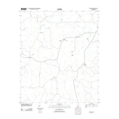 2012 Gholson2012 Print · USGSCovers Clearman, including Fairhill, Gholson, and other nearby areas
 - 2015 Map of Gholson, 2015 Print
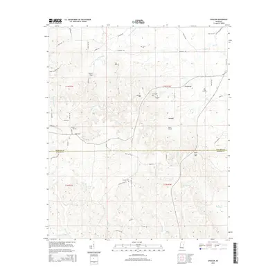 2015 Gholson2015 Print · USGSCovers Clearman, including Fairhill, Gholson, and other nearby areas
 - 2018 Map of Gholson, 2018 Print
 2018 Gholson2018 Print · USGSCovers Clearman, including Fairhill, Gholson, and other nearby areas
 - 2020 Map of Gholson, 2020 Print
 2020 Gholson2020 Print · USGSCovers Clearman, including Fairhill, Gholson, and other nearby areas
 - 2024 Map of Gholson, 2024 Print
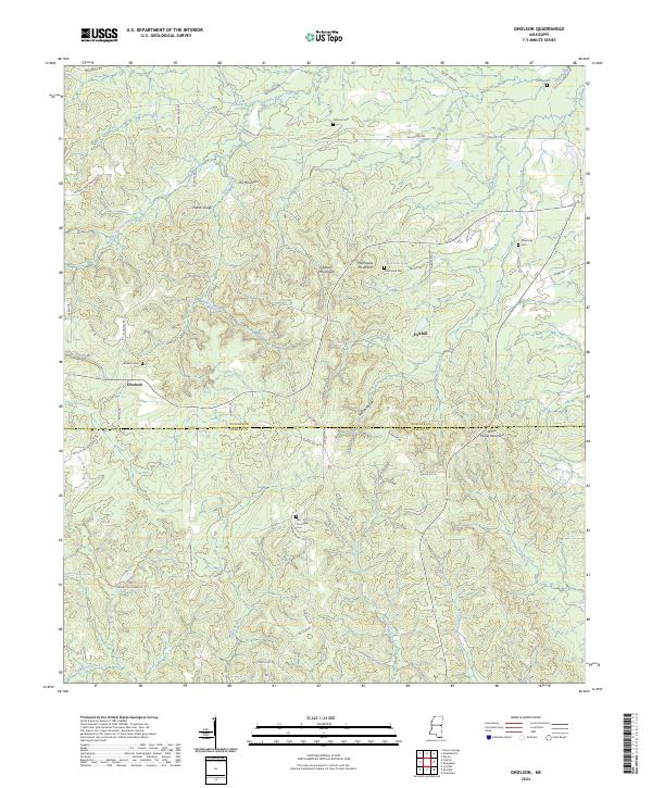 2024 Gholson2024 Print · USGSCrossing the line between Noxubee and Kemper counties, this recent survey documents the rural character and family history of the Mississippi interior. Genealogists can trace family landmarks and burial sites including Van Devender Cemetery, Gholson Cemetery, and Poorhouse Mountain.
End of results
Showing maps 1-10 of 10
Top cities near Clearman
- Nanih Waiya historical maps
- Macon historical maps
- De Kalb historical maps
- Scooba historical maps
- Shuqualak historical maps
Frequently asked questions
- What are the different types of historical maps available for Clearman?
- What is the oldest map of Clearman?
- Where can I purchase historical maps of Clearman for my home or office?
- Where can I download high-res historical maps of Clearman?
- Are there historical topographic maps available for Clearman?
- Is there historical aerial imagery available for Clearman?
- Where are historical maps of Clearman sourced from?