Old Maps of Runnelstown, Mississippi for Metal Detecting
Plan your next treasure hunt with 12 historic maps of Runnelstown. Find old homesites, ghost towns, trails, and gathering spots that may be lost to time — perfect for identifying promising metal detecting locations.
- Locate forgotten sites: Uncover places like long-lost settlements, abandoned rail lines, or gathering spots.
- Plan better hunts: Use map overlays combined with LiDAR or satellite views to narrow in on historically rich areas.
- Made for detectorists: Thousands of hobbyists use these maps to discover relics, coins, and hidden history.
Use these historic maps to boost your research and find new opportunities beneath the surface of Runnelstown.
Runnelstown, MS maps
(12)- 1953 Map of Hattiesburg, 1965 Print
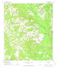
 1953 Hattiesburg1965 Print · USGSSouth Mississippi and western Alabama are shown here during the mid-twentieth century as the timber and rail industries shaped the region. Genealogists and historians can trace rail lines like the Mississippi Central and locate rural centers such as Magee, Richton, and Mount Vernon.4 unique versions available
 - 1958 Map of Hattiesburg
 1958 Hattiesburg1958 Print · USGSSoutheastern Mississippi's timber and rail networks are at their peak during the late fifties, centered on the growing hubs of Hattiesburg and Laurel. Researchers can trace old family landmarks like Sims Chapel, the Busbey Game Refuge, and the vanished stops along the Mississippi Central railroad.2 unique versions available
 - 1964 Map of Ovett, 1965 Print
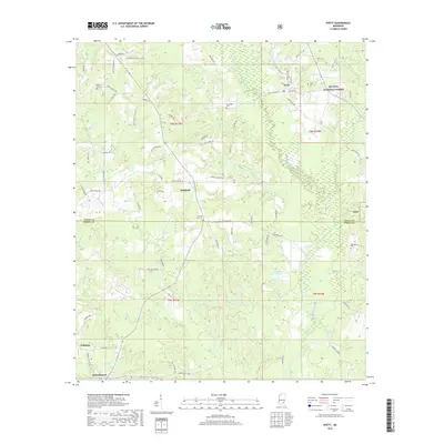
 1964 Ovett1965 Print · USGSSoutheast Mississippi's piney woods and creek bottoms are documented here in the mid-1960s at the border of Jones and Perry Counties. Genealogists can locate family landmarks like Beech Cem and Lancaster Cem, or trace the Mobile and Ohio rail line through Ovett.3 unique versions available
 - 1984 Map of Hattiesburg
 1984 Hattiesburg1984 Print · USGSSouth Mississippi’s Pine Belt is seen here in the mid-eighties, showing the region as a hub of timber production and petroleum extraction. Trace the rail lines of the Illinois Central Gulf RR through old settlements like Richton or the energy developments at the Heidelberg Oil Field.2 unique versions available
 - 1984 Map of Hattiesburg
 1984 Hattiesburg1984 Print · USGSSouth Mississippi’s timber and military heartland comes into focus during the mid-eighties, centering on the hub of Hattiesburg and the winding Pearl River. Researchers can trace the rail lines of the Illinois Central Gulf through old towns like Bassfield and Sumrall, or locate rural landmarks like Society Hill Ch.
 - 1994 Map of Hattiesburg, 1995 Print
 1994 Hattiesburg1995 Print · USGSSouth-central Mississippi's river valleys and timberlands are seen here in the mid-1990s as the region's transport network matured. Researchers can trace rural lineages through sites like Old Pioneer Cem and Spring Cottage or explore the vast Camp Shelby Military Reservation.
 - 2000 Map of Ovett, 2002 Print
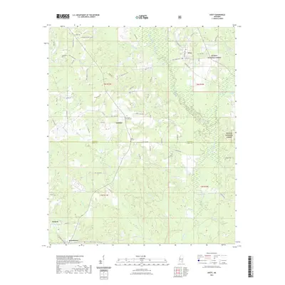
 2000 Ovett2002 Print · USGSThe Jones and Perry County borderlands come into focus at the start of the millennium, showing a landscape defined by forest management and oil exploration. Researchers can locate family landmarks like Whitfield Cem, Ovett Cem, and Piney Grove Ch along the winding Bogue Homo.
 - 2012 Map of Ovett, 2012 Print
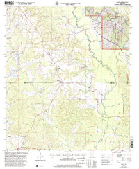
 2012 Ovett2012 Print · USGSCovers Runnelstown, including Fox, Ovett, and other nearby areas
 - 2015 Map of Ovett, 2015 Print
 2015 Ovett2015 Print · USGSCovers Runnelstown, including Fox, Ovett, and other nearby areas
 - 2018 Map of Ovett, 2018 Print
 2018 Ovett2018 Print · USGSCovers Runnelstown, including Fox, Ovett, and other nearby areas
 - 2021 Map of Ovett, 2021 Print
 2021 Ovett2021 Print · USGSCovers Runnelstown, including Fox, Ovett, and other nearby areas
 - 2024 Map of Ovett, 2024 Print
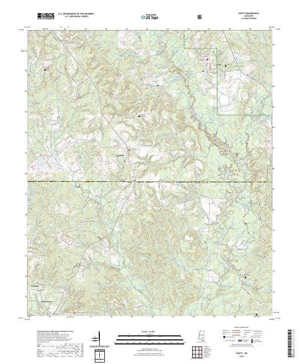 2024 Ovett2024 Print · USGSJones and Perry counties maintain their deep-seated timber and farming roots in this modern-day look at the Pine Belt. Researchers can pinpoint several family burial sites including Broadway Family Cem and Woodard Cem near Ovett and Whitfield.
End of results
Showing maps 1-12 of 12
Top cities near Runnelstown
- Hattiesburg historical maps
- Petal historical maps
- Ellisville historical maps
- Richton historical maps
- Beaumont historical maps
- New Augusta historical maps
Frequently asked questions
- What are the different types of historical maps available for Runnelstown?
- What is the oldest map of Runnelstown?
- Where can I purchase historical maps of Runnelstown for my home or office?
- Where can I download high-res historical maps of Runnelstown?
- Are there historical topographic maps available for Runnelstown?
- Is there historical aerial imagery available for Runnelstown?
- Where are historical maps of Runnelstown sourced from?