2000s (21st Century) Maps of Flowood, Mississippi
Explore 25 historic maps of Flowood from the 2000s (21st Century). These maps offer a rare glimpse into what life looked like during the 2000s — showing old roads, neighborhoods, homes, and landmarks that have changed or disappeared over time.
Whether you're researching your family's past, planning a metal detecting trip, or studying how Flowood's landscape evolved across the 2000s, these high-resolution maps are a powerful tool for exploring the history of this region.
- Focus on a specific era: All maps on this page are from the 2000s, giving you a focused view of this time period.
- See what’s changed: Compare century-old streets, trails, and buildings to today's modern landscape using overlays and satellite layers.
- Research with precision: Use these maps for genealogy, historical research, land use analysis, or educational projects.
- View, download, or print: Maps are fully viewable online in high resolution, and can be downloaded or printed for your own records.
Start exploring Flowood's history through authentic maps from the 2000s. This is your window into the past.
Flowood, MS maps
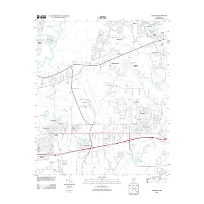
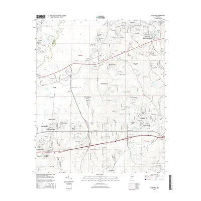
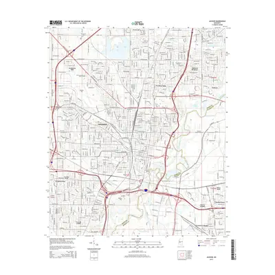
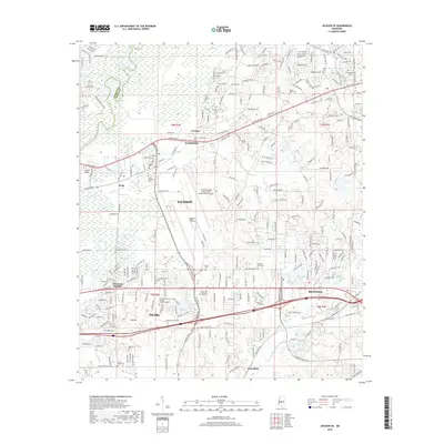
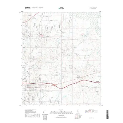
(25)- 2012 Map of Madison, 2012 Print
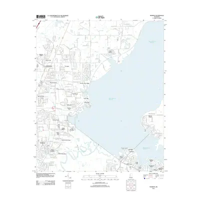 2012 Madison2012 Print · USGSCovers Flowood, including Jackson, Madison, and other nearby areas
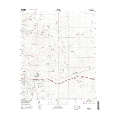
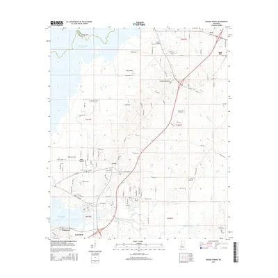
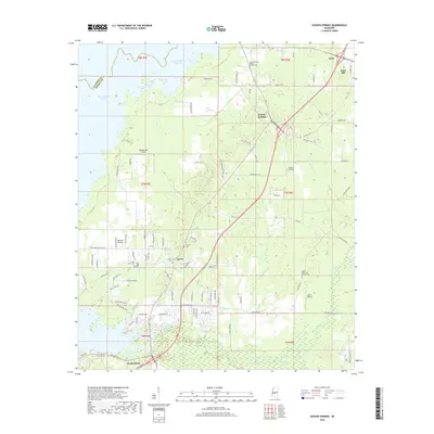
 - 2012 Map of Goshen Springs, 2012 Print
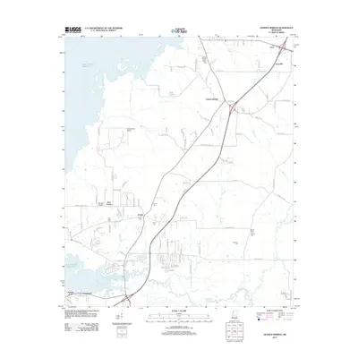 2012 Goshen Springs2012 Print · USGSCovers Flowood, including Sand Hill, Koch, and other nearby areas
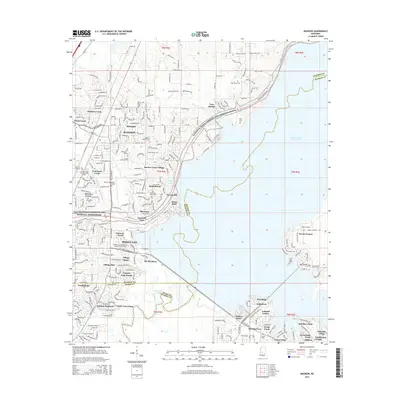
 - 2012 Map of Brandon, 2012 Print
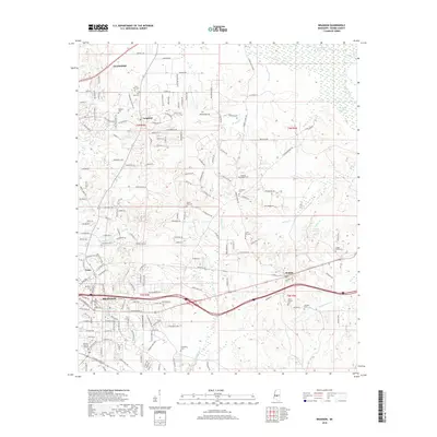
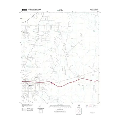 2012 Brandon2012 Print · USGSCovers Flowood, including Brandon, Pelahatchie, and other nearby areas
 - 2012 Map of Jackson, 2012 Print
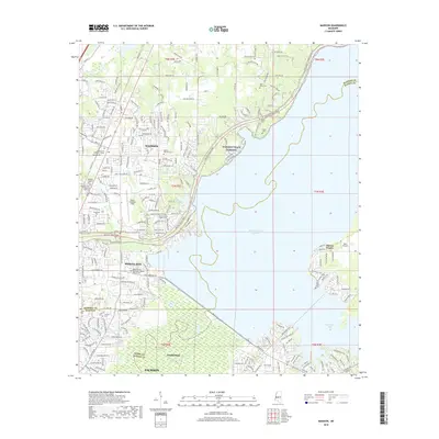
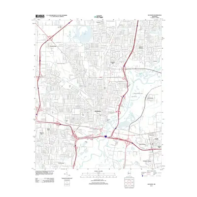 2012 Jackson2012 Print · USGSCovers Flowood, including Jackson, Pearl, and other nearby areas
 - 2012 Map of Jackson SE, 2012 Print
 2012 Jackson SE2012 Print · USGSCovers Flowood, including Jackson, Pearl, and other nearby areas
 - 2015 Map of Jackson SE, 2015 Print
 2015 Jackson SE2015 Print · USGSCovers Flowood, including Jackson, Pearl, and other nearby areas
 - 2015 Map of Brandon, 2015 Print
 2015 Brandon2015 Print · USGSCovers Flowood, including Brandon, Pelahatchie, and other nearby areas
 - 2015 Map of Madison, 2015 Print
 2015 Madison2015 Print · USGSCovers Flowood, including Jackson, Madison, and other nearby areas
 - 2015 Map of Goshen Springs, 2015 Print
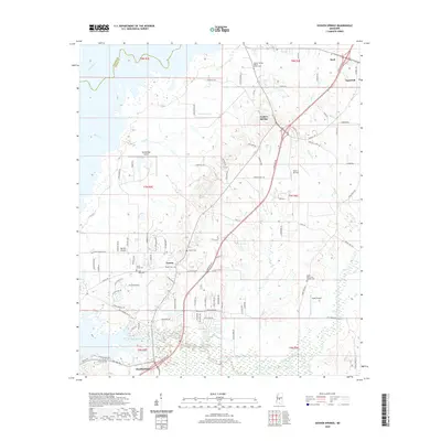
 2015 Goshen Springs2015 Print · USGSCovers Flowood, including Sand Hill, Koch, and other nearby areas
 - 2015 Map of Jackson, 2015 Print
 2015 Jackson2015 Print · USGSCovers Flowood, including Jackson, Pearl, and other nearby areas
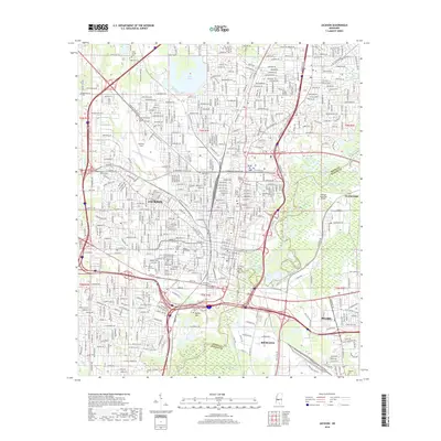
 - 2018 Map of Madison, 2018 Print
 2018 Madison2018 Print · USGSCovers Flowood, including Jackson, Madison, and other nearby areas
 - 2018 Map of Jackson, 2018 Print
 2018 Jackson2018 Print · USGSCovers Flowood, including Jackson, Pearl, and other nearby areas
 - 2018 Map of Jackson SE, 2018 Print
 2018 Jackson SE2018 Print · USGSCovers Flowood, including Jackson, Pearl, and other nearby areas
 - 2018 Map of Goshen Springs, 2018 Print
 2018 Goshen Springs2018 Print · USGSCovers Flowood, including Sand Hill, Koch, and other nearby areas
 - 2018 Map of Brandon, 2018 Print
 2018 Brandon2018 Print · USGSCovers Flowood, including Brandon, Pelahatchie, and other nearby areas
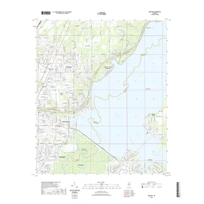
 - 2020 Map of Goshen Springs, 2020 Print
 2020 Goshen Springs2020 Print · USGSCovers Flowood, including Sand Hill, Koch, and other nearby areas
 - 2020 Map of Brandon, 2020 Print
 2020 Brandon2020 Print · USGSCovers Flowood, including Brandon, Pelahatchie, and other nearby areas
 - 2020 Map of Jackson SE, 2020 Print
 2020 Jackson SE2020 Print · USGSCovers Flowood, including Jackson, Pearl, and other nearby areas
 - 2020 Map of Jackson, 2020 Print
 2020 Jackson2020 Print · USGSCovers Flowood, including Jackson, Pearl, and other nearby areas
 - 2020 Map of Madison, 2020 Print
 2020 Madison2020 Print · USGSCovers Flowood, including Jackson, Madison, and other nearby areas
 - 2024 Map of Jackson, 2024 Print
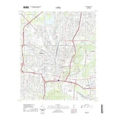
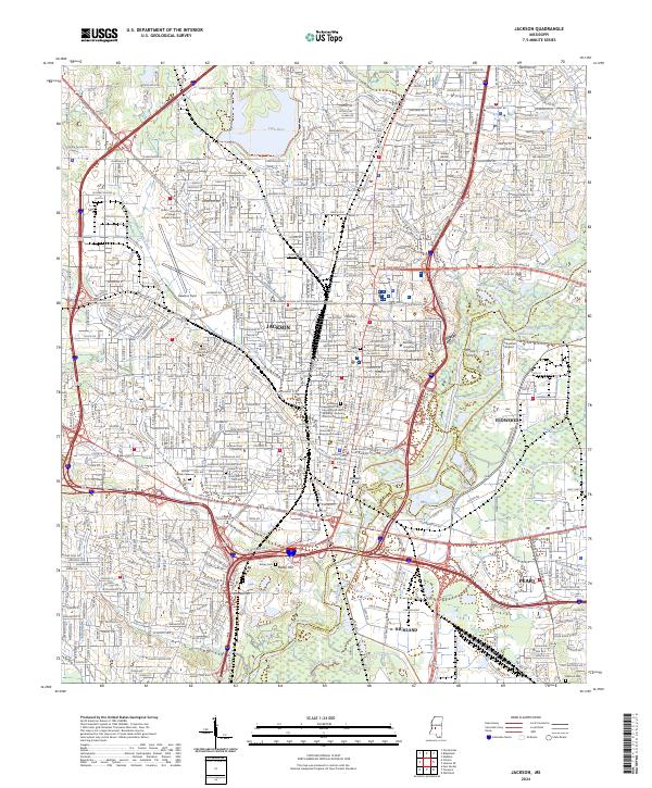 2024 Jackson2024 Print · USGSJackson and its surrounding riverfront communities are captured here in a period of modern urban complexity. Researchers can trace civil rights landmarks like the Medgar and Myrlie Evers Home National Monument and early crossing points such as Whites Ferry.
 - 2024 Map of Jackson SE, 2024 Print
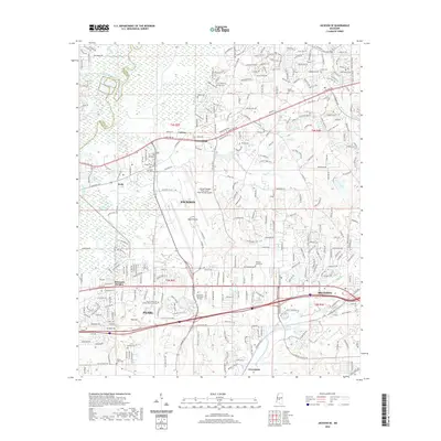
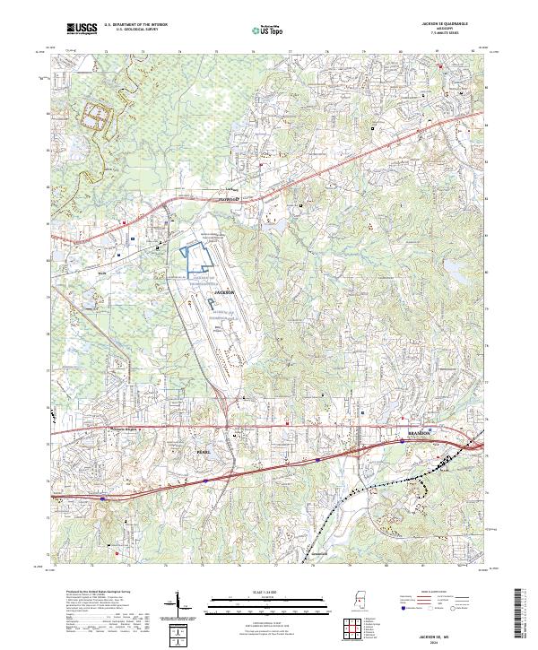 2024 Jackson SE2024 Print · USGSThe Rankin County corridor east of the state capital comes into focus in this recent survey. Local researchers can trace family roots through Pleasant Grove Cem or follow the suburban development surrounding Pearl and Brandon.
 - 2024 Map of Goshen Springs, 2024 Print
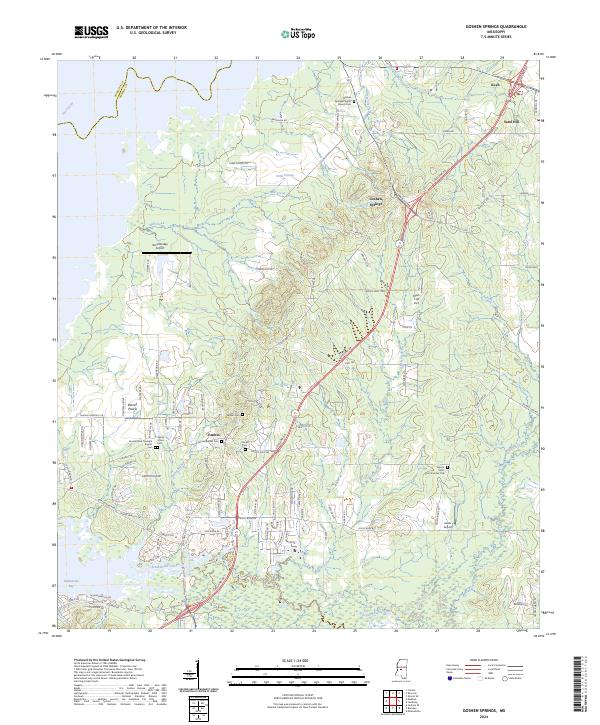 2024 Goshen Springs2024 Print · USGSRankin County in the modern era maintains its rural character through established settlements and family-named landmarks east of the Pearl River. Researchers can trace the layout of local congregations and burial grounds like Fannin Baptist Cem or locate private airfields such as Mach 1 Jet Port.
 - 2024 Map of Brandon, 2024 Print
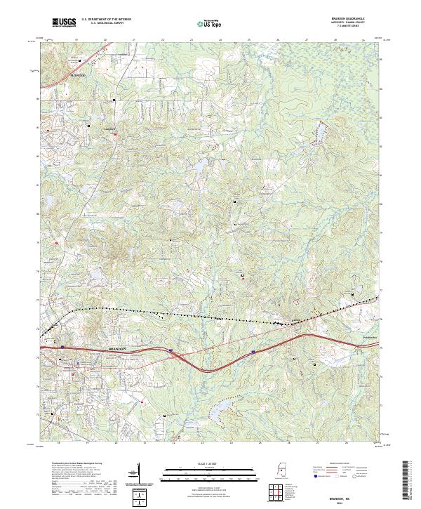 2024 Brandon2024 Print · USGSThe Rankin County seat and its eastern neighbors are documented in this contemporary survey of central Mississippi. Genealogists can locate family landmarks such as Old Brandon Cem, True Vine Cem, and the historic Andrew Chapel.
 - 2024 Map of Madison, 2024 Print
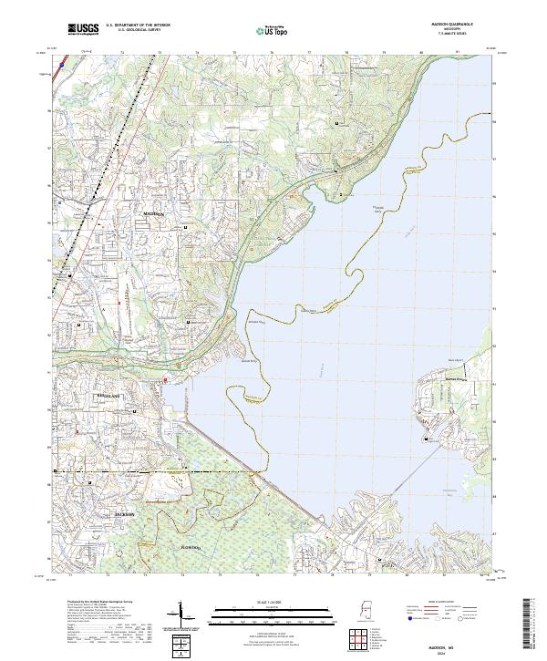 2024 Madison2024 Print · USGSMadison and Ridgeland sit at a crossroads of modern expansion and deep-rooted history along the Pearl River. Researchers can trace ancestral sites at Old Christian Union Cem or locate historical river crossings like Grants Ferry and Collins Ferry.
End of results
Showing maps 1-25 of 25
Top cities near Flowood
- Jackson historical maps
- Clinton historical maps
- Madison historical maps
- Pearl historical maps
- Brandon historical maps
- Ridgeland historical maps
See more
Top neighborhoods of Flowood
- Luckney historical maps
- Wells historical maps
- Dogwood Place historical maps
- Creekwood Place historical maps
- Plaza historical maps
Frequently asked questions
- What are the different types of historical maps available for Flowood?
- What is the oldest map of Flowood?
- Where can I purchase historical maps of Flowood for my home or office?
- Where can I download high-res historical maps of Flowood?
- Are there historical topographic maps available for Flowood?
- Is there historical aerial imagery available for Flowood?
- Where are historical maps of Flowood sourced from?