Old Maps of Mayton, Mississippi
Explore 12 old maps of Mayton, spanning from 1935 to today. These high-resolution historic maps reveal how streets, neighborhoods, landmarks, and natural features evolved over time — perfect for genealogy, metal detecting, research, and local history exploration.
What you can do with these maps:
- See how Mayton changed over time: Compare historical maps to modern-day views to trace roads, homesites, rail lines & more.
- View detailed metadata: Each map includes creators, publishers, year, scale, and archive source.
- Overlay maps with satellite & LiDAR: Visualize the past alongside modern tools to explore terrain & human change.
- Trusted historical sources: Maps sourced from the USGS, Library of Congress, and other archives.
- Access maps your way: View online, download high-res files, or order prints for personal or research use.
Start exploring old maps of Mayton to uncover forgotten places, hidden landmarks, and the deep history beneath your feet.
Mayton, MS maps
(12)- 1935 Map of White Oak
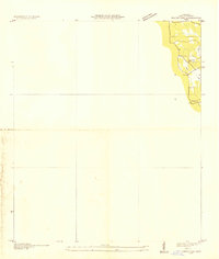 1935 White Oak1935 Print · USGSPrentiss County in the mid-1930s is captured in this Tennessee Valley Authority advance sheet. Genealogists and local historians can trace the rural landscape around White Oak and the Snowdown Sch or follow the path of Glausel Creek.
 - 1953 Map of Meridian, 1966 Print
 1953 Meridian1966 Print · USGSEast Central Mississippi and the Alabama borderlands are captured here during a period of steady growth and infrastructure expansion. Genealogists and historians can trace rail-town development along the Gulf Mobile & Ohio Railroad and find early settlements like Scooba, Pelahatchie, and De Kalb.2 unique versions available
 - 1957 Map of Meridian
 1957 Meridian1957 Print · USGSEast Central Mississippi and parts of Western Alabama come alive in the mid-1950s, centered on the transit hub of Meridian. Researchers can trace old rail lines like the Illinois Central and find historic sites such as the Choctaw Indian Reservation and Roosevelt State Park.
 - 1965 Map of Meridian
 1965 Meridian1965 Print · USGSEast Mississippi and West Alabama are mapped here in the mid-sixties as the region's modern highway and reservoir systems began to take shape. Researchers can trace rural lineages through local landmarks like Prince Chapel and Tuscahoma Landing, or follow the historic Gulf Mobile & Ohio rail lines.
 - 1968 Map of White Oak, 1970 Print
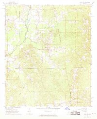 1968 White Oak1970 Print · USGSSmith and Simpson counties meet along the Strong River in the late sixties as the timber and oil industries shaped the land. Genealogists can locate family landmarks like Miley Cem and Merchant Cem or trace the Old Indian Treaty Boundary.3 unique versions available
 - 1984 Map of Forest
 1984 Forest1984 Print · USGSCentral Mississippi in the mid-eighties centers on the timberlands and rail corridors of the Bienville National Forest. Genealogists and historians can trace old settlements like Conehatta and Hillsboro or follow the Illinois Central Gulf line through Morton and Newton.2 unique versions available
 - 2000 Map of White Oak, 2002 Print
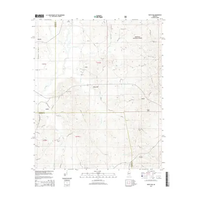
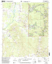 2000 White Oak2002 Print · USGSThe rural borderlands of Rankin, Simpson, and Smith Counties are captured here at the turn of the millennium. Researchers can trace family roots through numerous local landmarks, from White Oak and Heater to the Miley Cem and Merchant Ch.
 - 2012 Map of White Oak, 2012 Print
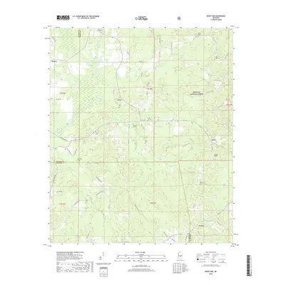
 2012 White Oak2012 Print · USGSCovers Mayton, including White Oak, Galilee, and other nearby areas
 - 2015 Map of White Oak, 2015 Print
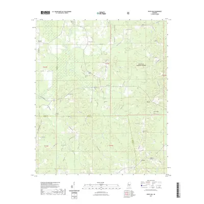
 2015 White Oak2015 Print · USGSCovers Mayton, including White Oak, Galilee, and other nearby areas
 - 2018 Map of White Oak, 2018 Print
 2018 White Oak2018 Print · USGSCovers Mayton, including White Oak, Galilee, and other nearby areas
 - 2021 Map of White Oak, 2021 Print
 2021 White Oak2021 Print · USGSCovers Mayton, including White Oak, Galilee, and other nearby areas
 - 2024 Map of White Oak, 2024 Print
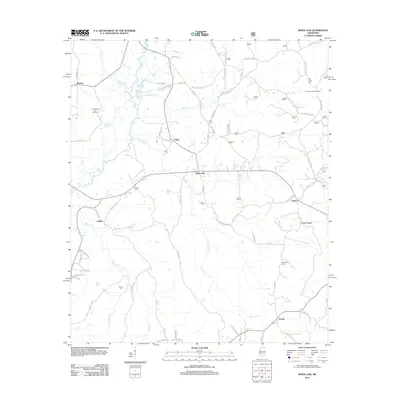
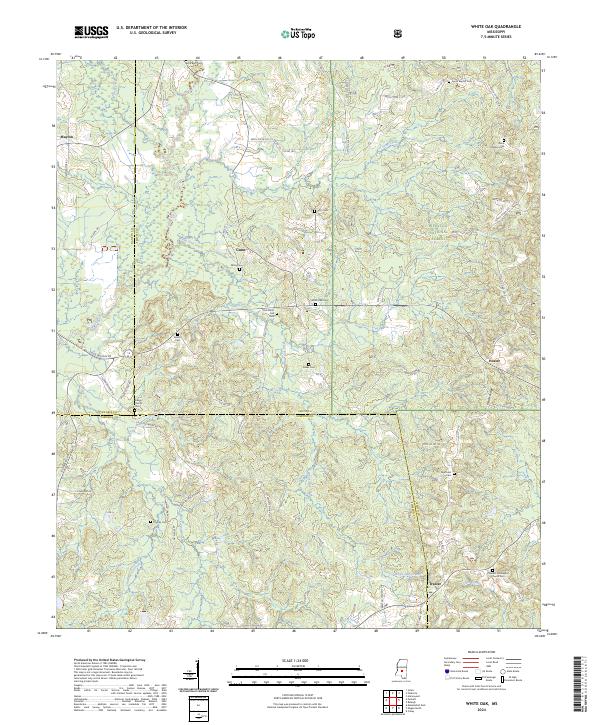 2024 White Oak2024 Print · USGSSmith County is shown here in the 2020s, dominated by the timberlands of the Bienville National Forest and the Strong River valley. Genealogists and local historians can trace family locations near Heater and Gunn, or locate rural burial sites like Sardis Baptist Cem and Dukes Cem.
End of results
Showing maps 1-12 of 12
Top cities near Mayton
- Brandon historical maps
- Flowood historical maps
- Magee historical maps
- Morton historical maps
- Mendenhall historical maps
- Pelahatchie historical maps
See more
Frequently asked questions
- What are the different types of historical maps available for Mayton?
- What is the oldest map of Mayton?
- Where can I purchase historical maps of Mayton for my home or office?
- Where can I download high-res historical maps of Mayton?
- Are there historical topographic maps available for Mayton?
- Is there historical aerial imagery available for Mayton?
- Where are historical maps of Mayton sourced from?