Old Maps of Pearl, Mississippi for Metal Detecting
Plan your next treasure hunt with 39 historic maps of Pearl. Find old homesites, ghost towns, trails, and gathering spots that may be lost to time — perfect for identifying promising metal detecting locations.
- Locate forgotten sites: Uncover places like long-lost settlements, abandoned rail lines, or gathering spots.
- Plan better hunts: Use map overlays combined with LiDAR or satellite views to narrow in on historically rich areas.
- Made for detectorists: Thousands of hobbyists use these maps to discover relics, coins, and hidden history.
Use these historic maps to boost your research and find new opportunities beneath the surface of Pearl.
Pearl, MS maps
(39)- 1903 Map of Jackson
 1903 Jackson1903 Print · USGSCentral Mississippi at the dawn of the new century shows a landscape transformed by expanding rail lines and river commerce. Genealogists and researchers can trace family roots through early settlements like Pocahontas, Ridgeland, and Clinton or locate the historic Asylum grounds.
 - 1905 Map of Jackson
 1905 Jackson1905 Print · USGSJackson and its surrounding counties are shown at the height of the railroad era, as five major lines converge on the state capital. Genealogists can trace early rural life through Tougaloo University, family landmarks like Horns Mill, and churches such as Liberty Grove Church.3 unique versions available
 - 1906 Map of Florence, 1965 Print
 1906 Florence1965 Print · USGSThe rural landscapes of Rankin and Hinds Counties are captured here at the start of the century, centered on the growing rail hub of Florence. Genealogists can trace old family locales through numerous landmarks like Hickory Ridge School, Ebenezer Church, and the winding Pearl River.
 - 1908 Map of Jackson
 1908 Jackson1908 Print · USGSCentral Mississippi thrives as a railroad and institutional hub at the beginning of the twentieth century. Genealogists can trace the early footprints of Jackson and Tougaloo University, or locate family landmarks like Beadmans Mill and Madison Station.2 unique versions available
 - 1908 Map of Florence
 1908 Florence1908 Print · USGSCentral Mississippi at the dawn of the twentieth century shows a landscape of rail-dependent villages and rural schoolhouses. Genealogists can trace family roots through sites like Monterey, Poplar Springs Church, and Steepbank School.2 unique versions available
 - 1955 Map of Jackson
 1955 Jackson1955 Print · USGSThe Lower Mississippi Valley at the middle of the century reveals a landscape of deep river meanders and growing rail hubs. Genealogists and historians can trace the mid-century footprints of Vicksburg National Military Park, old river landings at Port Gibson, and the rail corridors of the Illinois Central Railroad.3 unique versions available
 - 1961 Map of Jackson
 1961 Jackson1961 Print · USGSThe Lower Mississippi Delta and the state capital area are captured here during the post-war era of infrastructure expansion. Researchers can trace the complex river oxbows and rail lines connecting Vicksburg, Yazoo City, and the Illinois Central Railroad network.
 - 1962 Map of Jackson
 1962 Jackson1962 Print · USGSThe Mississippi Delta and the state capital region are mapped here in the early sixties, showing a landscape defined by the great river and the growing city of JACKSON. Genealogists can trace family roots through numerous landmarks like Cedar Hill Cem, rural stops on the Illinois Central RR, and historic sites like Champion Hill.2 unique versions available
 - 1963 Map of Jackson SE, 1964 Print
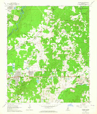 1963 Jackson SE1964 Print · USGSRankin County east of the Pearl River is captured during a period of rapid change in the early sixties as the reservoir began to take shape. Researchers can trace family sites like Old Sea Cem, rural landmarks such as Wallace Chapel, and the era's infrastructure from the Jackson Municipal Airport to the Gulf Mobile and Ohio line.3 unique versions available
 - 1963 Map of Jackson, 1964 Print
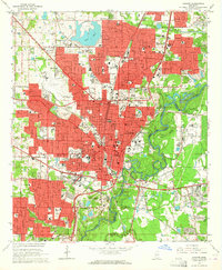 1963 Jackson1964 Print · USGSJackson is shown in the early sixties as a thriving state capital defined by its academic campuses and rail corridors. Researchers can trace the mid-century city layout from the State Capitol to local landmarks like Jackson State Col and Hawkins Field.3 unique versions available
 - 1971 Map of Florence, 1973 Print
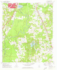 1971 Florence1973 Print · USGSThe Pearl River valley in the early seventies shows the growing connection between Jackson and rural Rankin County. Researchers can trace family history through sites like Smith Cem, Hickory Ridge Ch, and the old crossroads at Frenchs Store.
 - 1971 Map of Whitfield, 1973 Print
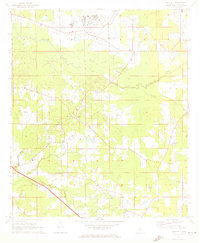 1971 Whitfield1973 Print · USGSRankin County during the early seventies is characterized by large institutional sites and a dense network of rural communities. Genealogists and historians can trace local family life through landmarks like New Hope Ch, Thomasville, and the Mississippi State Hospital.
 - 1980 Map of Whitfield
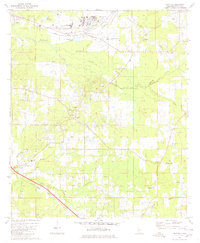 1980 Whitfield1980 Print · USGSRankin County during the late seventies and early eighties shows a landscape of institutional landmarks and tight-knit rural settlements. Genealogists can locate family-named landmarks and institutions like the State Hospital, Wesley College, and Jerusalem Ch.
 - 1980 Map of Florence
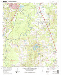 1980 Florence1980 Print · USGSRankin and Hinds counties are shown here as the capital's southern outskirts grew in the late seventies. Genealogists and historians can trace family locations through Sykes Sch & Ch, McGowen Cem, and the historic banks of the Pearl River.2 unique versions available
 - 1980 Map of Jackson SE
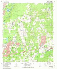 1980 Jackson SE1980 Print · USGSRankin County enters a period of modern expansion in the 1980s, where traditional settlements meet the growing infrastructure of the Pearl River corridor. Researchers can trace family sites at Drakes Ch, Flora Hills Cem, and the neighborhoods of McLaurin Heights.2 unique versions available
 - 1980 Map of Jackson, 1981 Print
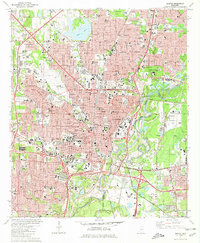 1980 Jackson1981 Print · USGSJackson and the Pearl River valley appear here in the early eighties as a thriving capital city and regional hub. Genealogists and researchers can trace family roots through numerous sites like Cedar Lawn Cemetery and Jackson State University.2 unique versions available
 - 1984 Map of Jackson
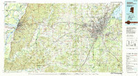 1984 Jackson1984 Print · USGSCentral Mississippi in the mid-eighties shows a landscape defined by the growing suburbs of Jackson and the riverfront legacy of Vicksburg. Researchers can trace the Natchez Trace Parkway or locate local landmarks like Utica College and Mississippi State Hospital.
 - 1998 Map of Jackson SE
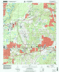 1998 Jackson SE1998 Print · USGSRankin County at the end of the nineties shows a landscape of suburban growth and major aviation infrastructure east of the Pearl River. Researchers can find deep local detail in family cemeteries and community centers like Union Cemetery, Luckney, and Hinds Community College.
 - 1998 Map of Jackson
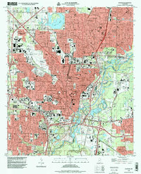 1998 Jackson1998 Print · USGSJackson is documented here at the end of the century, showing a massive urban grid stretching from the Pearl River to the western hills. Researchers can locate hundreds of specific landmarks, from the State Capitol and Jackson State Univ to local anchors like Hawkins Field and Greenwood Cemetery.
 - 2012 Map of Whitfield, 2012 Print
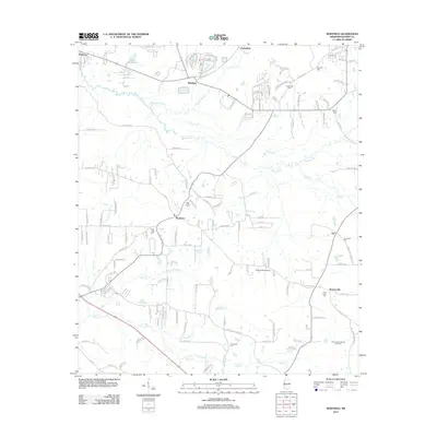 2012 Whitfield2012 Print · USGSRankin County enters a new era of growth in the early 2010s as suburban developments expand around Whitfield and Monterey. Family historians can trace numerous rural burial sites like Sandhill Cem or explore the Thomasville Oil and Gas Field.
 - 2012 Map of Florence, 2012 Print
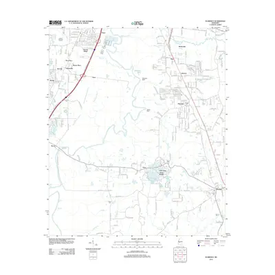 2012 Florence2012 Print · USGSThe Pearl River valley south of Jackson is captured here during a period of modern growth and suburban transition. Researchers can locate several historic burial sites like McGowen Cem and Smith Cem, or trace the waterfronts of Richmond Lake and Lake Mary.
 - 2012 Map of Jackson, 2012 Print
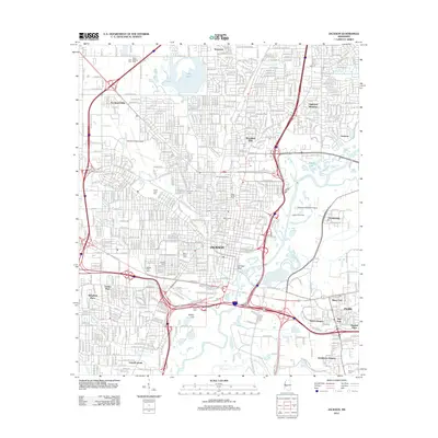 2012 Jackson2012 Print · USGSJackson and its surrounding suburbs are shown in a moment of modern growth along the Pearl River during the early 2010s. Genealogists and local historians can trace burial sites at Greenwood and Beth Israel, or locate old landmarks like Hawkins Field Airport and Bailey Hill.
 - 2012 Map of Jackson SE, 2012 Print
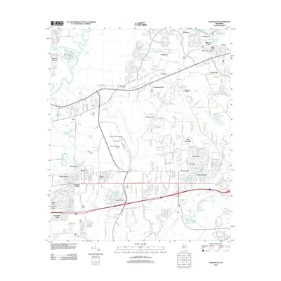 2012 Jackson SE2012 Print · USGSThe suburban landscape southeast of Jackson comes into sharp focus during this era of modern expansion and airport development. Genealogists and local historians can trace the placement of Saint Matthew Ch and several family-named landmarks like Drakes Cem and Flora Hills Cem.
 - 2015 Map of Whitfield, 2015 Print
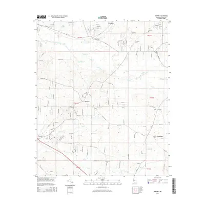 2015 Whitfield2015 Print · USGSRankin County during the mid-2010s shows a landscape of growing communities and rural homesteads. Genealogists and local historians can trace legacy sites from Sandhill Cem to Wesley Coll, alongside landmarks like Lake Patterson and Tullos Field.
 - 2015 Map of Jackson SE, 2015 Print
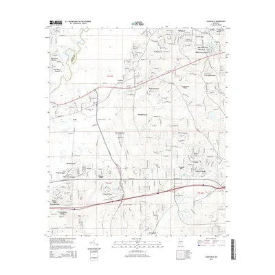 2015 Jackson SE2015 Print · USGSThe eastern suburbs of Jackson and the Rankin County line are shown here in the mid-2010s as a hub of transport and residential growth. Researchers can trace local history through numerous burial grounds like Mount Elam Cem and landmarks such as the Jackson-Medgar Wiley Evers International Airport.
Showing maps 1-25 of 39
Top cities near Pearl
- Jackson historical maps
- Clinton historical maps
- Madison historical maps
- Brandon historical maps
- Ridgeland historical maps
- Byram historical maps
See more
Top neighborhoods of Pearl
- Greenfield historical maps
- Pearson historical maps
- Cunningham Heights historical maps
- Hickory Glen historical maps
- Kings Heights historical maps
- Grandview Heights historical maps
See more
Frequently asked questions
- What are the different types of historical maps available for Pearl?
- What is the oldest map of Pearl?
- Where can I purchase historical maps of Pearl for my home or office?
- Where can I download high-res historical maps of Pearl?
- Are there historical topographic maps available for Pearl?
- Is there historical aerial imagery available for Pearl?
- Where are historical maps of Pearl sourced from?