2000s (21st Century) Maps of Hillsboro, Mississippi
Explore 6 historic maps of Hillsboro from the 2000s (21st Century). These maps offer a rare glimpse into what life looked like during the 2000s — showing old roads, neighborhoods, homes, and landmarks that have changed or disappeared over time.
Whether you're researching your family's past, planning a metal detecting trip, or studying how Hillsboro's landscape evolved across the 2000s, these high-resolution maps are a powerful tool for exploring the history of this region.
- Focus on a specific era: All maps on this page are from the 2000s, giving you a focused view of this time period.
- See what’s changed: Compare century-old streets, trails, and buildings to today's modern landscape using overlays and satellite layers.
- Research with precision: Use these maps for genealogy, historical research, land use analysis, or educational projects.
- View, download, or print: Maps are fully viewable online in high resolution, and can be downloaded or printed for your own records.
Start exploring Hillsboro's history through authentic maps from the 2000s. This is your window into the past.
Hillsboro, MS maps
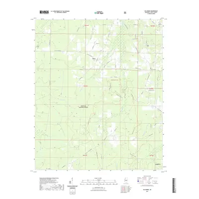
(6)- 2000 Map of Hillsboro, 2002 Print
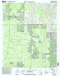 2000 Hillsboro2002 Print · USGSScott County enters the new millennium as a mix of timberlands and rural communities within the Bienville National Forest. Genealogists and historians can trace local roots through landmarks like the Old Duncan Cem, Mt Zion Ch, and the settlement of Hillsboro.
 - 2012 Map of Hillsboro, 2012 Print
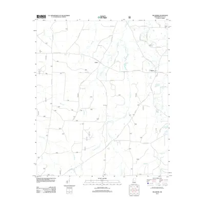 2012 Hillsboro2012 Print · USGSCovers Hillsboro, including Forest, Clifton, and other nearby areas
 - 2015 Map of Hillsboro, 2015 Print
 2015 Hillsboro2015 Print · USGSCovers Hillsboro, including Forest, Clifton, and other nearby areas
 - 2018 Map of Hillsboro, 2018 Print
 2018 Hillsboro2018 Print · USGSCovers Hillsboro, including Forest, Clifton, and other nearby areas
 - 2021 Map of Hillsboro, 2021 Print
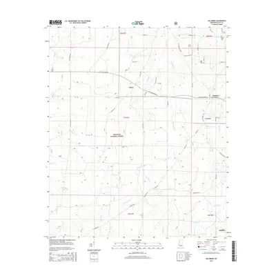
 2021 Hillsboro2021 Print · USGSCovers Hillsboro, including Forest, Clifton, and other nearby areas
 - 2024 Map of Hillsboro, 2024 Print
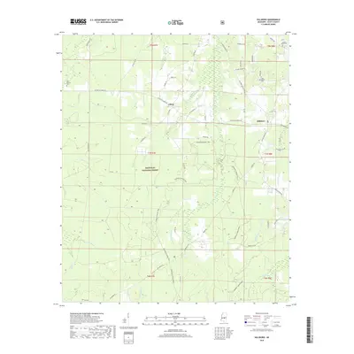
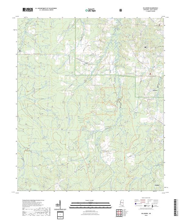 2024 Hillsboro2024 Print · USGSScott County, Mississippi, is shown here as it appears today, where deep forest tracts meet historic rural communities. Genealogists and historians can trace family locations near Hillsboro, the Lone Pilgrim Cem, and old thoroughfares like Old Jackson Rd.
End of results
Showing maps 1-6 of 6
Top cities near Hillsboro
- Forest historical maps
- Morton historical maps
- Pelahatchie historical maps
- Walnut Grove historical maps
- Lena historical maps
Frequently asked questions
- What are the different types of historical maps available for Hillsboro?
- What is the oldest map of Hillsboro?
- Where can I purchase historical maps of Hillsboro for my home or office?
- Where can I download high-res historical maps of Hillsboro?
- Are there historical topographic maps available for Hillsboro?
- Is there historical aerial imagery available for Hillsboro?
- Where are historical maps of Hillsboro sourced from?