Old Maps of Rexford, Mississippi for Hiking & Exploration
Hike through history with 13 historic maps of Rexford. Explore old trails, ghost towns, and forgotten backroads — perfect for outdoor adventurers and local explorers.
- Rediscover forgotten places: Map out old mining camps, roads, and footpaths that no longer exist on modern maps.
- Layer with modern tools: Combine with LiDAR or satellite views to plan hikes through historical terrain.
- Made for exploration: Popular among hikers, overlanders, and local history lovers.
Use these maps to find adventure and explore the hidden past of Rexford.
Rexford, MS maps
(13)- 1903 Map of Jackson
 1903 Jackson1903 Print · USGSCentral Mississippi at the dawn of the new century shows a landscape transformed by expanding rail lines and river commerce. Genealogists and researchers can trace family roots through early settlements like Pocahontas, Ridgeland, and Clinton or locate the historic Asylum grounds.
 - 1906 Map of Florence, 1965 Print
 1906 Florence1965 Print · USGSThe rural landscapes of Rankin and Hinds Counties are captured here at the start of the century, centered on the growing rail hub of Florence. Genealogists can trace old family locales through numerous landmarks like Hickory Ridge School, Ebenezer Church, and the winding Pearl River.
 - 1908 Map of Florence
 1908 Florence1908 Print · USGSCentral Mississippi at the dawn of the twentieth century shows a landscape of rail-dependent villages and rural schoolhouses. Genealogists can trace family roots through sites like Monterey, Poplar Springs Church, and Steepbank School.2 unique versions available
 - 1955 Map of Jackson
 1955 Jackson1955 Print · USGSThe Lower Mississippi Valley at the middle of the century reveals a landscape of deep river meanders and growing rail hubs. Genealogists and historians can trace the mid-century footprints of Vicksburg National Military Park, old river landings at Port Gibson, and the rail corridors of the Illinois Central Railroad.3 unique versions available
 - 1961 Map of Jackson
 1961 Jackson1961 Print · USGSThe Lower Mississippi Delta and the state capital area are captured here during the post-war era of infrastructure expansion. Researchers can trace the complex river oxbows and rail lines connecting Vicksburg, Yazoo City, and the Illinois Central Railroad network.
 - 1962 Map of Jackson
 1962 Jackson1962 Print · USGSThe Mississippi Delta and the state capital region are mapped here in the early sixties, showing a landscape defined by the great river and the growing city of JACKSON. Genealogists can trace family roots through numerous landmarks like Cedar Hill Cem, rural stops on the Illinois Central RR, and historic sites like Champion Hill.2 unique versions available
 - 1971 Map of Star, 1973 Print
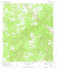 1971 Star1973 Print · USGSThe community of Star and the Illinois Central railroad define this rural landscape in the early seventies. Genealogists can locate family-named sites like Wesleyanna Cem, Enoch Grove Cem, and Mt Salem Ch along the winding banks of Mountain Creek.2 unique versions available
 - 1984 Map of Jackson
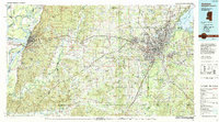 1984 Jackson1984 Print · USGSCentral Mississippi in the mid-eighties shows a landscape defined by the growing suburbs of Jackson and the riverfront legacy of Vicksburg. Researchers can trace the Natchez Trace Parkway or locate local landmarks like Utica College and Mississippi State Hospital.
 - 2012 Map of Star, 2012 Print
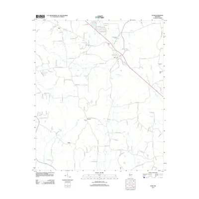 2012 Star2012 Print · USGSThe rural landscape around Simpson County comes into focus in the early 2010s, showing a network of small settlements and family cemeteries. Researchers can trace local roots at Rexford Cem, Middleton Field Cem, and the community of Anse.
 - 2015 Map of Star, 2015 Print
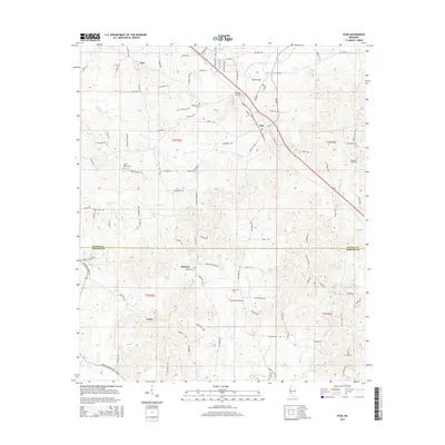 2015 Star2015 Print · USGSThe rural divide between Rankin and Simpson Counties comes to life here during the mid-2010s. Local researchers can trace family roots through numerous burial sites like Enoch Grove Cemetery or explore the geography of Star and Gama.
 - 2018 Map of Star, 2018 Print
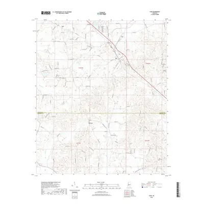 2018 Star2018 Print · USGSThe borderlands of Rankin and Simpson Counties come into focus in this recent survey of the rural South. Genealogists and local historians can trace family roots through numerous burial sites including Morning Star Cem, Holly Grove Cem, and Rexford Cem.
 - 2020 Map of Star, 2020 Print
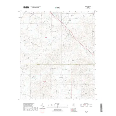 2020 Star2020 Print · USGSThe Rankin and Simpson County line is captured here in recent years, centered on the historic crossroads of Star. Genealogists can trace family names through numerous local burial sites, including Morning Star Cem, Wesleyanna Cem, and Rexford Cem.
 - 2024 Map of Star, 2024 Print
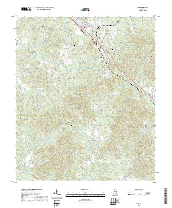 2024 Star2024 Print · USGSRankin County in the 2020s remains a landscape of quiet rural crossroads and family legacy. Genealogists and local historians can trace long-standing community landmarks from Morning Star Cem to the small settlements of Star and Rexford.
End of results
Showing maps 1-13 of 13
Top cities near Rexford
- Jackson historical maps
- Pearl historical maps
- Brandon historical maps
- Byram historical maps
- Richland historical maps
- Florence historical maps
See more
Frequently asked questions
- What are the different types of historical maps available for Rexford?
- What is the oldest map of Rexford?
- Where can I purchase historical maps of Rexford for my home or office?
- Where can I download high-res historical maps of Rexford?
- Are there historical topographic maps available for Rexford?
- Is there historical aerial imagery available for Rexford?
- Where are historical maps of Rexford sourced from?